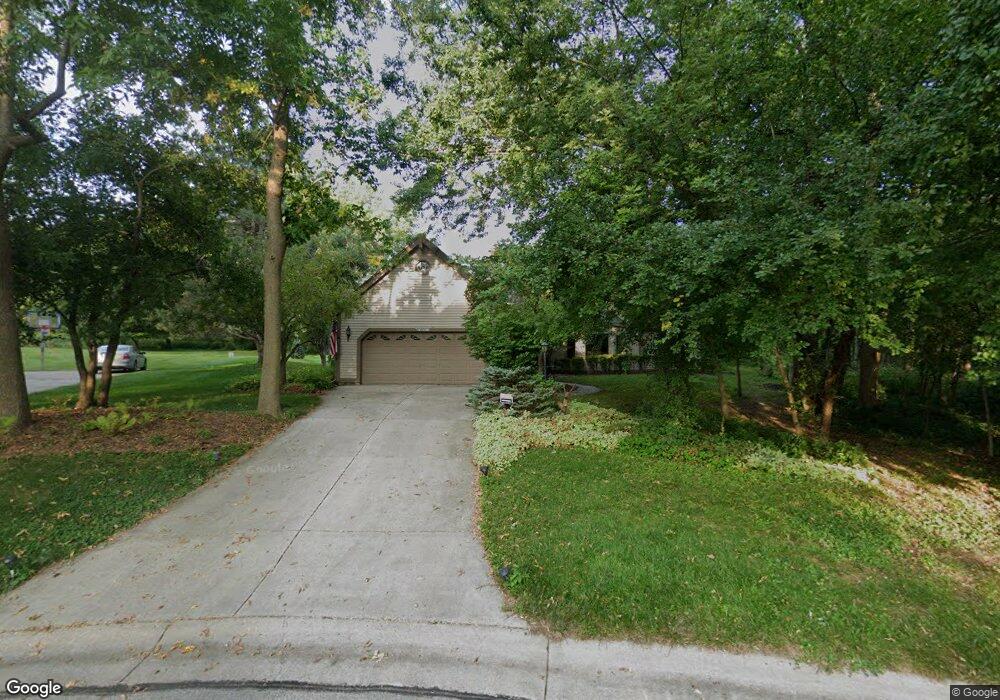
W276N2653 Lily Ct W Pewaukee, WI 53072
Estimated Value: $642,000 - $761,000
--
Bed
--
Bath
--
Sq Ft
0.4
Acres
About This Home
This home is located at W276N2653 Lily Ct W, Pewaukee, WI 53072 and is currently estimated at $701,331. W276N2653 Lily Ct W is a home located in Waukesha County with nearby schools including Pewaukee Lake Elementary School, Asa Clark Middle School, and Pewaukee High School.
Ownership History
Date
Name
Owned For
Owner Type
Purchase Details
Closed on
Sep 14, 2001
Sold by
Redenz Russell A and Redenz Karen R
Bought by
Strop William G and Strop Janice J
Current Estimated Value
Home Financials for this Owner
Home Financials are based on the most recent Mortgage that was taken out on this home.
Original Mortgage
$237,600
Outstanding Balance
$92,516
Interest Rate
6.97%
Mortgage Type
Purchase Money Mortgage
Estimated Equity
$608,815
Create a Home Valuation Report for This Property
The Home Valuation Report is an in-depth analysis detailing your home's value as well as a comparison with similar homes in the area
Home Values in the Area
Average Home Value in this Area
Purchase History
| Date | Buyer | Sale Price | Title Company |
|---|---|---|---|
| Strop William G | $297,000 | -- |
Source: Public Records
Mortgage History
| Date | Status | Borrower | Loan Amount |
|---|---|---|---|
| Open | Strop William G | $237,600 |
Source: Public Records
Tax History Compared to Growth
Tax History
| Year | Tax Paid | Tax Assessment Tax Assessment Total Assessment is a certain percentage of the fair market value that is determined by local assessors to be the total taxable value of land and additions on the property. | Land | Improvement |
|---|---|---|---|---|
| 2024 | $5,191 | $452,600 | $145,000 | $307,600 |
| 2023 | $5,164 | $452,600 | $145,000 | $307,600 |
| 2022 | $5,359 | $452,600 | $145,000 | $307,600 |
| 2021 | $5,337 | $452,600 | $145,000 | $307,600 |
| 2020 | $4,979 | $339,500 | $116,100 | $223,400 |
| 2019 | $4,845 | $339,500 | $116,100 | $223,400 |
| 2018 | $4,673 | $339,500 | $116,100 | $223,400 |
| 2017 | $4,662 | $339,500 | $116,100 | $223,400 |
| 2016 | $4,836 | $339,500 | $116,100 | $223,400 |
| 2015 | $4,900 | $339,500 | $116,100 | $223,400 |
| 2014 | $5,350 | $339,500 | $116,100 | $223,400 |
| 2013 | $5,350 | $339,500 | $116,100 | $223,400 |
Source: Public Records
Map
Nearby Homes
- N28W27558 Peninsula Dr
- W278N2920 Oak St
- N27W27152 Woodland Dr
- W271N2631 Orchard Ln
- N28W26972 Woodland Dr
- W269N2762 Lelah Ave
- N20W28282 Oakton Rd
- N16W27601 Pheasant Ln
- W268N1947 Shooting Star Rd Unit B
- Lt16 Lakeside Ridge Ct
- W265N2666 Meadowbrook Rd
- N30W28853 W Lakeside Dr
- N19W26672 Milkweed Ln Unit A
- N26W26388 Quail Hollow Rd Unit A
- W263N2345 Deer Haven Dr
- N16W26583 Wild Oats Dr Unit C
- N16W26573 Tall Reeds Ln Unit A
- W283N3660 Yorkshire Trace
- N16W26571 Tall Reeds Ln Unit B
- N16W26549 Tall Reeds Ln Unit A
- W276N2641 Lily Ct W
- W276N2670 Lily Ct W
- W276N2633 Lily Ct W
- W276N2666 Lily Ct W
- W277N2622 Rocky Point Rd
- W276N2660 Lily Ct W
- W277N2610 Rocky Point Rd
- W276N2597 Wildflower Rd
- W277N2666 Rocky Point Rd
- W276N2621 Lily Ct W
- W276N2650 Lily Ct W
- W276N2585 Wildflower Rd
- W276N2626 Lily Ct W
- W277N2588 Rocky Point Rd
- W278N2690 Rocky Point Rd
- W276N2683 Chicory Ln
- N27W27761 Jocelyn Ct
- N27W27737 Jocelyn Ct
- W276N2569 Wildflower Rd
- W276N2619 Lily Ct E