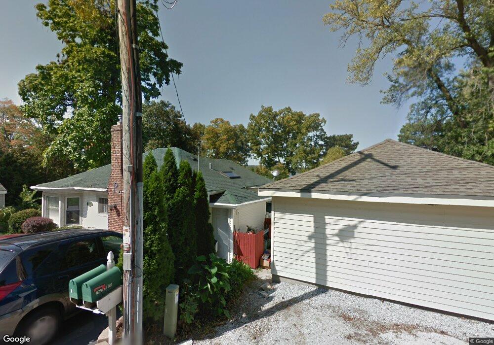
W291N2185 Elmhurst Dr Pewaukee, WI 53072
Estimated Value: $705,000 - $978,000
--
Bed
--
Bath
--
Sq Ft
10,019
Sq Ft Lot
About This Home
This home is located at W291N2185 Elmhurst Dr, Pewaukee, WI 53072 and is currently estimated at $866,836. W291N2185 Elmhurst Dr is a home located in Waukesha County with nearby schools including Cushing Elementary School, Kettle Moraine Middle School, and Kettle Moraine High School.
Ownership History
Date
Name
Owned For
Owner Type
Purchase Details
Closed on
Sep 27, 2017
Sold by
Timothy M Frank & Heidi S Frank Living T
Bought by
Little Mooney Llc
Current Estimated Value
Home Financials for this Owner
Home Financials are based on the most recent Mortgage that was taken out on this home.
Original Mortgage
$343,000
Outstanding Balance
$284,951
Interest Rate
3.62%
Mortgage Type
Adjustable Rate Mortgage/ARM
Estimated Equity
$581,885
Purchase Details
Closed on
Mar 20, 2015
Sold by
Roloff Rick J
Bought by
Timothy M Frank And Heidi S Frank Living
Home Financials for this Owner
Home Financials are based on the most recent Mortgage that was taken out on this home.
Original Mortgage
$337,500
Interest Rate
3.73%
Mortgage Type
FHA
Purchase Details
Closed on
Feb 3, 2005
Sold by
Roloff Rickey J and Roloff Rick J
Bought by
Roloff Rick J and Rick Roloff Living Trust
Create a Home Valuation Report for This Property
The Home Valuation Report is an in-depth analysis detailing your home's value as well as a comparison with similar homes in the area
Home Values in the Area
Average Home Value in this Area
Purchase History
| Date | Buyer | Sale Price | Title Company |
|---|---|---|---|
| Little Mooney Llc | $490,000 | None Available | |
| Timothy M Frank And Heidi S Frank Living | $450,000 | None Available | |
| Roloff Rick J | -- | None Available |
Source: Public Records
Mortgage History
| Date | Status | Borrower | Loan Amount |
|---|---|---|---|
| Open | Little Mooney Llc | $343,000 | |
| Previous Owner | Timothy M Frank And Heidi S Frank Living | $337,500 |
Source: Public Records
Tax History Compared to Growth
Tax History
| Year | Tax Paid | Tax Assessment Tax Assessment Total Assessment is a certain percentage of the fair market value that is determined by local assessors to be the total taxable value of land and additions on the property. | Land | Improvement |
|---|---|---|---|---|
| 2024 | $6,742 | $488,000 | $347,000 | $141,000 |
| 2023 | $6,763 | $488,000 | $347,000 | $141,000 |
| 2022 | $6,650 | $488,000 | $347,000 | $141,000 |
| 2021 | $6,530 | $488,000 | $347,000 | $141,000 |
| 2020 | $6,508 | $488,000 | $347,000 | $141,000 |
| 2019 | $6,226 | $488,000 | $347,000 | $141,000 |
| 2018 | $6,270 | $488,000 | $347,000 | $141,000 |
| 2017 | $6,033 | $488,000 | $347,000 | $141,000 |
| 2016 | $6,339 | $488,000 | $347,000 | $141,000 |
| 2015 | $6,409 | $488,000 | $347,000 | $141,000 |
| 2014 | $6,436 | $488,000 | $347,000 | $141,000 |
| 2013 | $6,436 | $488,000 | $347,000 | $141,000 |
Source: Public Records
Map
Nearby Homes
- N18W28978 Golf Ridge S Unit A
- The Siena Plan at Welshire Farm - The Villas at Welshire Farm
- The Wingra Plan at Welshire Farm - The Villas at Welshire Farm
- The McKinley Plan at Welshire Farm - The Villas at Welshire Farm
- The Dover Plan at Welshire Farm - The Villas at Welshire Farm
- The Sheridan Plan at Welshire Farm - The Villas at Welshire Farm
- The Hudson Plan at Welshire Farm - The Villas at Welshire Farm
- The Drake Plan at Welshire Farm - The Villas at Welshire Farm
- The Charleston Plan at Welshire Farm - The Villas at Welshire Farm
- The Coral Plan at Welshire Farm - The Villas at Welshire Farm
- The Catalina Plan at Welshire Farm - The Villas at Welshire Farm
- The Bridgeport Plan at Welshire Farm - The Villas at Welshire Farm
- The Atwater Plan at Welshire Farm - The Villas at Welshire Farm
- The Bradford Plan at Welshire Farm - The Villas at Welshire Farm
- The Adrian Plan at Welshire Farm - The Villas at Welshire Farm
- The Addison Plan at Welshire Farm - The Villas at Welshire Farm
- The Caroline Plan at Welshire Farm - The Reserve at Welshire Farm
- The Violet Plan at Welshire Farm - The Reserve at Welshire Farm
- N21W29727 Glen Cove Rd
- N15W29521 S Caldicot Cir
- W291N2173 Elmhurst Dr
- W292N2145 Elmhurst Dr
- W291N2174 Elmhurst Dr
- W291N2201 Elmhurst Dr
- W292N2137 Elmhurst Dr
- W291N2152 Elmhurst Dr
- W292N2132 Elmhurst Dr
- W291N2202 Elmhurst Dr
- W291N2293 Elmhurst Dr
- W291N2225 Elmhurst Dr
- W292N2125 Elmhurst Dr
- W291N2212 Elmhurst Dr
- W292N2119 Elmhurst Dr
- W292N2104 Elmhurst Dr
- W292N2105 Elmhurst Dr
- W291N2210 Elmhurst Dr
- N22W29150 Elmhurst Dr
- W292N2093 Elmhurst Dr
- W292N2108 Elmhurst Dr
- W292N2082 Elmhurst Dr