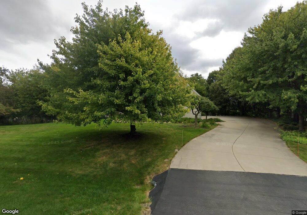
W304N2954 Hawksnest Ct Pewaukee, WI 53072
Estimated Value: $1,125,000 - $1,268,000
--
Bed
--
Bath
--
Sq Ft
1.35
Acres
About This Home
This home is located at W304N2954 Hawksnest Ct, Pewaukee, WI 53072 and is currently estimated at $1,210,675. W304N2954 Hawksnest Ct is a home located in Waukesha County with nearby schools including Arrowhead High School, St Charles Parish School, and Zion Lutheran School.
Ownership History
Date
Name
Owned For
Owner Type
Purchase Details
Closed on
Nov 11, 1997
Sold by
Robinson Gordon F and Robinson Gordon Frisby
Bought by
Cane Mark S and Cane Camilla C
Current Estimated Value
Home Financials for this Owner
Home Financials are based on the most recent Mortgage that was taken out on this home.
Original Mortgage
$350,000
Outstanding Balance
$58,203
Interest Rate
7.43%
Estimated Equity
$1,152,472
Create a Home Valuation Report for This Property
The Home Valuation Report is an in-depth analysis detailing your home's value as well as a comparison with similar homes in the area
Home Values in the Area
Average Home Value in this Area
Purchase History
| Date | Buyer | Sale Price | Title Company |
|---|---|---|---|
| Cane Mark S | $637,000 | -- |
Source: Public Records
Mortgage History
| Date | Status | Borrower | Loan Amount |
|---|---|---|---|
| Open | Cane Mark S | $350,000 |
Source: Public Records
Tax History Compared to Growth
Tax History
| Year | Tax Paid | Tax Assessment Tax Assessment Total Assessment is a certain percentage of the fair market value that is determined by local assessors to be the total taxable value of land and additions on the property. | Land | Improvement |
|---|---|---|---|---|
| 2024 | $9,003 | $839,000 | $125,000 | $714,000 |
| 2023 | $8,756 | $839,000 | $125,000 | $714,000 |
| 2022 | $8,616 | $839,000 | $125,000 | $714,000 |
| 2021 | $8,610 | $839,000 | $125,000 | $714,000 |
| 2020 | $8,740 | $839,000 | $125,000 | $714,000 |
| 2019 | $8,620 | $839,000 | $125,000 | $714,000 |
| 2018 | $9,376 | $839,000 | $125,000 | $714,000 |
| 2017 | $9,810 | $839,000 | $125,000 | $714,000 |
| 2016 | $10,958 | $839,000 | $125,000 | $714,000 |
| 2015 | $11,573 | $839,000 | $125,000 | $714,000 |
| 2014 | $11,457 | $839,000 | $125,000 | $714,000 |
| 2013 | $11,457 | $839,000 | $125,000 | $714,000 |
Source: Public Records
Map
Nearby Homes
- N28W30264 Red Hawk Ct
- W221N4564 Timber Hill Ct
- W298N2808 Shady Ln
- W304N2470 Maple Ave
- W304N2426 Maple Ave
- 120 Kestrel Way
- 1019 Wellington Way
- 2814 Windward Ln
- 2819 Windward Ln
- 2925 Meadow Ln
- N21W29727 Glen Cove Rd
- 2105 Nagawicka Rd
- N33W29204 Millridge Rd
- Lt4 Crooked Creek Rd
- Lt3 Crooked Creek Rd
- 507 Oxford Dr
- N30W28853 W Lakeside Dr
- 809 Crescent Ln
- N17W29663 Caldicot North Cir
- N15W29972 Brookstone Cir
- W304N2978 Hawksnest Ct
- W304N2941 Hawksnest Ct
- W304N2892 Grand Haven Dr
- N29W30388 Hawksnest Ct
- N30W30271 Great Hill Ct
- N28W30299 Red Hawk Ct
- N30W30279 Great Hill Ct
- N29W30361 Hawksnest Ct
- N29W30375 Hawksnest Ct
- N30W30283 Great Hill Ct
- N30W30257 Great Hill Ct
- W304N2865 Grand Haven Dr
- N28W30279 Red Hawk Ct
- N30W30291 Great Hill Ct
- N30W30249 Great Hill Ct
- N28W30244 Red Hawk Ct
- N28W30251 Red Hawk Ct
- N29W30501 Red Hawk Rd
- N27W30328 Grand Haven Dr
- N30W30298 Great Hill Ct
