W305N5280 Gail Ln Hartland, WI 53029
Estimated Value: $482,000 - $532,683
--
Bed
--
Bath
--
Sq Ft
1.02
Acres
About This Home
This home is located at W305N5280 Gail Ln, Hartland, WI 53029 and is currently estimated at $510,671. W305N5280 Gail Ln is a home located in Waukesha County with nearby schools including Swallow Elementary School, Arrowhead High School, and St Charles Parish School.
Ownership History
Date
Name
Owned For
Owner Type
Purchase Details
Closed on
Feb 9, 2017
Sold by
Madden Michael
Bought by
Huxford Andrew and Huxford Shannon
Current Estimated Value
Home Financials for this Owner
Home Financials are based on the most recent Mortgage that was taken out on this home.
Original Mortgage
$242,400
Outstanding Balance
$201,368
Interest Rate
4.32%
Mortgage Type
New Conventional
Estimated Equity
$309,303
Purchase Details
Closed on
Aug 4, 2016
Sold by
Dill Rosemary
Bought by
Maden Michael
Create a Home Valuation Report for This Property
The Home Valuation Report is an in-depth analysis detailing your home's value as well as a comparison with similar homes in the area
Home Values in the Area
Average Home Value in this Area
Purchase History
| Date | Buyer | Sale Price | Title Company |
|---|---|---|---|
| Huxford Andrew | $303,000 | None Available | |
| Maden Michael | $179,000 | None Available |
Source: Public Records
Mortgage History
| Date | Status | Borrower | Loan Amount |
|---|---|---|---|
| Open | Huxford Andrew | $242,400 |
Source: Public Records
Tax History Compared to Growth
Tax History
| Year | Tax Paid | Tax Assessment Tax Assessment Total Assessment is a certain percentage of the fair market value that is determined by local assessors to be the total taxable value of land and additions on the property. | Land | Improvement |
|---|---|---|---|---|
| 2024 | $3,648 | $308,300 | $70,000 | $238,300 |
| 2023 | $3,691 | $308,300 | $70,000 | $238,300 |
| 2022 | $3,468 | $308,300 | $70,000 | $238,300 |
| 2021 | $3,288 | $308,300 | $70,000 | $238,300 |
| 2020 | $3,461 | $308,300 | $70,000 | $238,300 |
| 2019 | $3,282 | $245,000 | $65,500 | $179,500 |
| 2018 | $3,351 | $243,700 | $65,500 | $178,200 |
| 2017 | $3,375 | $243,700 | $65,500 | $178,200 |
| 2016 | $3,327 | $226,600 | $65,500 | $161,100 |
| 2015 | $3,157 | $226,600 | $65,500 | $161,100 |
| 2014 | $3,124 | $226,600 | $65,500 | $161,100 |
| 2013 | $3,124 | $234,600 | $65,500 | $169,100 |
Source: Public Records
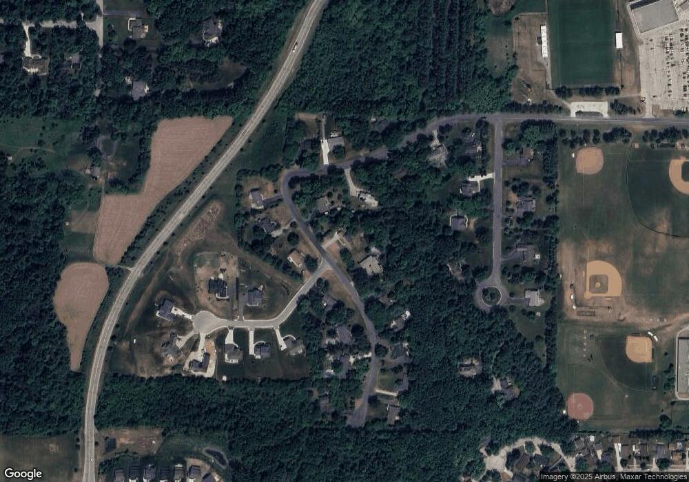
Map
Nearby Homes
- W305N5260 Gail Ln
- N53W30509 Arrowhead Dr
- 310 Paradise Ct
- W308N5576 Windrise Cir
- 328 Hemlock Ct
- Pcl2 Hill St
- W312N4890 Chapel Ridge Rd
- 4821 Easy St Unit 8
- 286 Hazel Ln
- 345 Cottonwood Ave
- 447 Merton Ave
- 4848 Wisconsin 83
- 508 Merton Ave
- 901 Anton Rd
- 1117 Sweetbriar Ln Unit 22
- 222 Granary Cir
- 459 Sunset Trail Unit 2
- N62W29919 Wayside Ct
- N62W29804 Stoney Hill Ct
- 3911 Campbell Trace
- W305N5270 Gail Ln
- W305N5310 Gail Ln
- W305N5295 Gail Ln
- N53W30531 Arrowhead Dr
- N52W30555 Moraine Dr
- W305N5311 Gail Ln
- N53W30542 Arrowhead Dr
- W305N5247 Gail Ln
- W305N5321 Gail Ln
- W305N5250 Gail Ln
- N53W30582 Arrowhead Dr
- Lt4 Moraine Dr
- W304N5329 Evelyn Ct
- W304N5309 Evelyn Ct
- N52W30587 Moraine Dr
- N53W30510 Arrowhead Dr
- W305N5240 Gail Ln
- N53W30495 Arrowhead Dr
- W305N5235 Gail Ln
- Lt1 Evelyn Ct