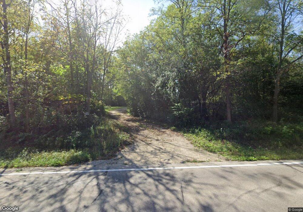
W308S9085 County Road Ee Mukwonago, WI 53149
Estimated Value: $382,000 - $978,000
--
Bed
--
Bath
--
Sq Ft
2.96
Acres
About This Home
This home is located at W308S9085 County Road Ee, Mukwonago, WI 53149 and is currently estimated at $770,906. W308S9085 County Road Ee is a home with nearby schools including Rolling Hills Elementary School, Park View Middle School, and Mukwonago High School.
Ownership History
Date
Name
Owned For
Owner Type
Purchase Details
Closed on
Dec 5, 2013
Sold by
Kobs Keith P and Kobs Barbara A
Bought by
Doolittle Adam C and Doolittle Tracy S
Current Estimated Value
Purchase Details
Closed on
Apr 30, 2003
Sold by
Kobs Keith P and Kobs Barbara A
Bought by
Kobs Keith P and Kobs Barbara A
Create a Home Valuation Report for This Property
The Home Valuation Report is an in-depth analysis detailing your home's value as well as a comparison with similar homes in the area
Home Values in the Area
Average Home Value in this Area
Purchase History
| Date | Buyer | Sale Price | Title Company |
|---|---|---|---|
| Doolittle Adam C | -- | None Available | |
| Kobs Keith P | -- | -- |
Source: Public Records
Tax History Compared to Growth
Tax History
| Year | Tax Paid | Tax Assessment Tax Assessment Total Assessment is a certain percentage of the fair market value that is determined by local assessors to be the total taxable value of land and additions on the property. | Land | Improvement |
|---|---|---|---|---|
| 2024 | $8,397 | $880,300 | $158,800 | $721,500 |
| 2023 | $6,982 | $472,000 | $115,000 | $357,000 |
| 2022 | $6,862 | $472,000 | $115,000 | $357,000 |
| 2021 | $6,060 | $445,800 | $115,000 | $330,800 |
| 2020 | $5,869 | $437,100 | $115,000 | $322,100 |
| 2019 | $5,512 | $437,100 | $115,000 | $322,100 |
| 2018 | $5,688 | $437,100 | $115,000 | $322,100 |
| 2017 | $5,599 | $437,100 | $115,000 | $322,100 |
| 2016 | $5,723 | $437,100 | $115,000 | $322,100 |
| 2015 | $5,468 | $437,100 | $115,000 | $322,100 |
| 2014 | $1,613 | $115,000 | $115,000 | $0 |
| 2013 | $1,613 | $115,000 | $115,000 | $0 |
Source: Public Records
Map
Nearby Homes
- 922 Medina Dr
- 485 Chapman Farm Blvd
- Lt44 Chapman Ct
- 365 Woods Edge Dr
- Lt28 Woods Edge Dr
- Lt26 Woods Edge Dr
- Lt25 Woods Edge Dr
- Lt24 Woods Edge Dr
- Addison Plan at Minor's Estates
- Ashford Plan at Minor's Estates
- Weston Plan at Minor's Estates
- Bayfield Plan at Minor's Estates
- Geneva Plan at Minor's Estates
- Nicolet Plan at Minor's Estates
- Waterford Plan at Minor's Estates
- Norwood Plan at Minor's Estates
- Danbury Plan at Minor's Estates
- Ellington Plan at Minor's Estates
- Summerhill Plan at Minor's Estates
- Carlisle Plan at Minor's Estates
- W307S9155 County Road Ee
- W307S9159 County Road Ee
- W307S9010 Woodland Dr
- W308S9049 County Road Ee
- W307S8990 Woodland Dr
- W308S8995 Woodland Dr
- W309S9154 County Road I
- W309S9126 County Road I
- W309S9108 County Road I
- S93W30814 County Road Nn
- W307S8980 Woodland Dr
- W308S8989 Green Acre Dr
- W309S9090 County Road I
- W306S9225 County Road Ee
- W308S8969 Green Acre Dr
- W308S8935 Woodland Dr
- W307S8920 Woodland Dr
- W309S9200 County Road I
- W308S8978 Green Acre Dr
- W310S9097 Moccasin Trail
