W309S7486 County Road I Mukwonago, WI 53149
Estimated Value: $401,000 - $548,748
--
Bed
--
Bath
--
Sq Ft
15.02
Acres
About This Home
This home is located at W309S7486 County Road I, Mukwonago, WI 53149 and is currently estimated at $486,583. W309S7486 County Road I is a home with nearby schools including Section Elementary School, Park View Middle School, and Mukwonago High School.
Ownership History
Date
Name
Owned For
Owner Type
Purchase Details
Closed on
Oct 11, 2023
Sold by
Flanery Tina and Schiferl Cynthia
Bought by
Lindholm Raymond J and Lindholm Suzanne D
Current Estimated Value
Purchase Details
Closed on
Jun 7, 2021
Sold by
Lindholm Raymond J and Lindholm Suzanne D
Bought by
Flanery Tina and Schiferl Cynthia
Purchase Details
Closed on
Jan 7, 2021
Sold by
Lindholm Raymond J and Lindholm Suzanne
Bought by
Flanery Tina and Schiferl Cynthia
Create a Home Valuation Report for This Property
The Home Valuation Report is an in-depth analysis detailing your home's value as well as a comparison with similar homes in the area
Home Values in the Area
Average Home Value in this Area
Purchase History
| Date | Buyer | Sale Price | Title Company |
|---|---|---|---|
| Lindholm Raymond J | -- | None Listed On Document | |
| Flanery Tina | -- | None Available | |
| Flanery Tina | -- | None Listed On Document |
Source: Public Records
Tax History Compared to Growth
Tax History
| Year | Tax Paid | Tax Assessment Tax Assessment Total Assessment is a certain percentage of the fair market value that is determined by local assessors to be the total taxable value of land and additions on the property. | Land | Improvement |
|---|---|---|---|---|
| 2024 | $4,158 | $444,500 | $186,300 | $258,200 |
| 2023 | $3,877 | $268,200 | $98,100 | $170,100 |
| 2022 | $3,820 | $268,200 | $98,100 | $170,100 |
| 2021 | $3,546 | $268,400 | $98,300 | $170,100 |
| 2020 | $3,532 | $268,700 | $98,600 | $170,100 |
| 2019 | $3,215 | $268,700 | $98,600 | $170,100 |
| 2018 | $3,339 | $268,600 | $98,500 | $170,100 |
| 2017 | $3,929 | $268,500 | $98,400 | $170,100 |
| 2016 | $3,384 | $268,700 | $98,600 | $170,100 |
| 2015 | $3,249 | $268,800 | $98,700 | $170,100 |
| 2014 | $3,605 | $268,800 | $98,700 | $170,100 |
| 2013 | $3,605 | $268,800 | $98,700 | $170,100 |
Source: Public Records
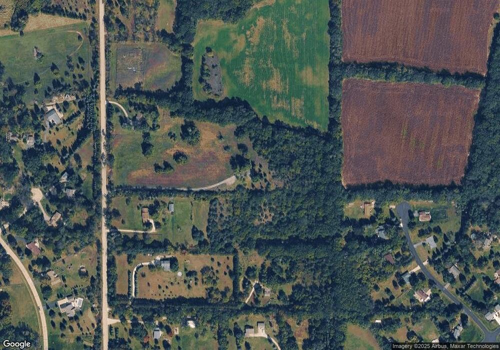
Map
Nearby Homes
- S81W30467 Bailey
- W309S8296 County Road I
- S75W32101 Paul Ln
- W312S8869 Cherokee Pass
- 365 Woods Edge Dr
- Lt24 Woods Edge Dr
- Lt28 Woods Edge Dr
- Lt26 Woods Edge Dr
- Lt25 Woods Edge Dr
- S87W29868 Leppin Ct
- 1575 Fairwinds Blvd
- 1625 Fairwinds Blvd
- 1564 Fairwinds Blvd
- 1584 Fairwinds Blvd
- 1624 Fairwinds Blvd
- 1534 Fairwinds Blvd
- 1547 Sandhill Ln Unit 2002
- 1521 Sandhill Ln Unit 2101
- 1525 Sandhill Ln Unit 2102
- 1543 Sandhill Ln Unit 2001
- W309S7502 County Road I
- W309S7614 County Road I
- W309S7430 County Road I
- W309S7610 County Road I
- W306S7513 Applewood Ln
- W306S7529 Applewood Ln
- S76W30846 Mosher Dr
- W306S7547 Applewood Ln
- S74W31058 Florence Ct
- W306S7514 Applewood Ln
- W309S7620 County Road I
- W309S7620 Highway I
- W306S7563 Applewood Ln
- S75W31046 Florence Ct
- W306S7546 Applewood Ln
- S74W31066 Florence Ct
- W306S7577 Applewood Ln
- W310S7570 Arbor Dr
- W310S7586 Arbor Dr
- W310S7560 Arbor Dr