W310N1140 Bunker Hill Trail Delafield, WI 53018
Estimated Value: $503,000 - $652,000
--
Bed
--
Bath
--
Sq Ft
2.29
Acres
About This Home
This home is located at W310N1140 Bunker Hill Trail, Delafield, WI 53018 and is currently estimated at $577,730. W310N1140 Bunker Hill Trail is a home located in Waukesha County with nearby schools including Wales Elementary School, Kettle Moraine Middle School, and Kettle Moraine High School.
Ownership History
Date
Name
Owned For
Owner Type
Purchase Details
Closed on
Oct 25, 2018
Sold by
Lonzo Ronald and Lonzo Patricia C
Bought by
Weis Monica L and Gardetto Mark S
Current Estimated Value
Home Financials for this Owner
Home Financials are based on the most recent Mortgage that was taken out on this home.
Original Mortgage
$280,000
Outstanding Balance
$245,192
Interest Rate
4.6%
Mortgage Type
New Conventional
Estimated Equity
$332,538
Purchase Details
Closed on
May 18, 2009
Sold by
Crabtree Mark W and Crabtree Kristine M
Bought by
Lonzo Ronald and Lonzo Patricia C
Home Financials for this Owner
Home Financials are based on the most recent Mortgage that was taken out on this home.
Original Mortgage
$264,000
Interest Rate
4.9%
Mortgage Type
Purchase Money Mortgage
Create a Home Valuation Report for This Property
The Home Valuation Report is an in-depth analysis detailing your home's value as well as a comparison with similar homes in the area
Home Values in the Area
Average Home Value in this Area
Purchase History
| Date | Buyer | Sale Price | Title Company |
|---|---|---|---|
| Weis Monica L | $350,000 | None Available | |
| Lonzo Ronald | $330,000 | None Available |
Source: Public Records
Mortgage History
| Date | Status | Borrower | Loan Amount |
|---|---|---|---|
| Open | Weis Monica L | $280,000 | |
| Previous Owner | Lonzo Ronald | $264,000 |
Source: Public Records
Tax History Compared to Growth
Tax History
| Year | Tax Paid | Tax Assessment Tax Assessment Total Assessment is a certain percentage of the fair market value that is determined by local assessors to be the total taxable value of land and additions on the property. | Land | Improvement |
|---|---|---|---|---|
| 2024 | $3,647 | $276,000 | $85,000 | $191,000 |
| 2023 | $3,626 | $276,000 | $85,000 | $191,000 |
| 2022 | $3,579 | $276,000 | $85,000 | $191,000 |
| 2021 | $3,497 | $276,000 | $85,000 | $191,000 |
| 2020 | $3,523 | $276,000 | $85,000 | $191,000 |
| 2019 | $3,338 | $276,000 | $85,000 | $191,000 |
| 2018 | $3,383 | $276,000 | $85,000 | $191,000 |
| 2017 | $3,888 | $276,000 | $85,000 | $191,000 |
| 2016 | $3,532 | $276,000 | $85,000 | $191,000 |
| 2015 | $3,572 | $276,000 | $85,000 | $191,000 |
| 2014 | $3,500 | $276,000 | $85,000 | $191,000 |
| 2013 | $3,500 | $276,000 | $85,000 | $191,000 |
Source: Public Records
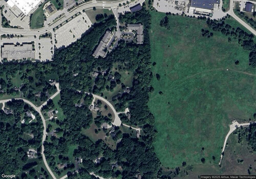
Map
Nearby Homes
- N7W31376 Cambridge Ct
- 2117 Hillside Dr
- W318N1045 Huckleberry Way N
- 2357 Quail Hollow Ct Unit D
- 2264 Circle Ridge Rd Unit E
- 1913 Hillside Ct
- N15W29972 Brookstone Cir
- W316S198 Wisconsin 83
- N12W29872 Southampton Ct
- 2925 Meadow Ln
- W304N2426 Maple Ave
- 1603 Milwaukee St
- N25W30832 Overlook Ct
- W304N2470 Maple Ave
- N16W29646 Caldicot South Cir
- N17W29663 Caldicot North Cir
- 1298 Wilderness Trail
- N16W29672 Caldicot South Cir
- The Caroline Plan at Welshire Farm - The Reserve at Welshire Farm
- The Violet Plan at Welshire Farm - The Reserve at Welshire Farm
- N11W31086 Bunker Hill Trail
- W310N1092 Bunker Hill Trail
- N11W31107 Bunker Hill Trail
- N11W31116 Bunker Hill Trail
- W310N1071 Bunker Hill Trail
- W310N1054 Bunker Hill Trail
- W310N1056 Bunker Hill Trail
- N11W31151 Bunker Hill Trail
- N11W31150 Bunker Hill Trail
- 3270-3280 Hillside Dr
- W312N1102 Fairfield Way
- N9W31104 Concord Ct
- N9W31078 Concord Ct
- N11W31206 Bunker Hill Trail
- W311N1052 Fairfield Way
- N9W31146 Concord Ct
- N9W31054 Concord Ct
- N11W31230 Bunker Hill Trail
- 903 Broken Bow Ct
- N9W31186 Concord Ct