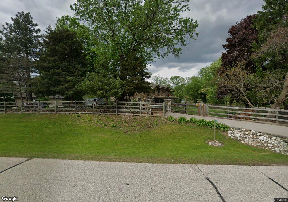
W310S7505 Arbor Dr Mukwonago, WI 53149
Estimated Value: $436,000 - $492,000
--
Bed
--
Bath
--
Sq Ft
1.52
Acres
About This Home
This home is located at W310S7505 Arbor Dr, Mukwonago, WI 53149 and is currently estimated at $463,233. W310S7505 Arbor Dr is a home located in Waukesha County with nearby schools including Section Elementary School, Park View Middle School, and Mukwonago High School.
Ownership History
Date
Name
Owned For
Owner Type
Purchase Details
Closed on
Aug 15, 2007
Sold by
Cleve Larry D and Cleve Mary C
Bought by
Russell Robert L
Current Estimated Value
Home Financials for this Owner
Home Financials are based on the most recent Mortgage that was taken out on this home.
Original Mortgage
$216,000
Outstanding Balance
$137,527
Interest Rate
6.77%
Mortgage Type
Purchase Money Mortgage
Estimated Equity
$325,706
Create a Home Valuation Report for This Property
The Home Valuation Report is an in-depth analysis detailing your home's value as well as a comparison with similar homes in the area
Home Values in the Area
Average Home Value in this Area
Purchase History
| Date | Buyer | Sale Price | Title Company |
|---|---|---|---|
| Russell Robert L | $270,000 | Heritage Title |
Source: Public Records
Mortgage History
| Date | Status | Borrower | Loan Amount |
|---|---|---|---|
| Open | Russell Robert L | $216,000 |
Source: Public Records
Tax History Compared to Growth
Tax History
| Year | Tax Paid | Tax Assessment Tax Assessment Total Assessment is a certain percentage of the fair market value that is determined by local assessors to be the total taxable value of land and additions on the property. | Land | Improvement |
|---|---|---|---|---|
| 2024 | $3,453 | $372,000 | $115,800 | $256,200 |
| 2023 | $3,891 | $269,100 | $76,000 | $193,100 |
| 2022 | $3,833 | $269,100 | $76,000 | $193,100 |
| 2021 | $3,556 | $269,100 | $76,000 | $193,100 |
| 2020 | $3,538 | $269,100 | $76,000 | $193,100 |
| 2019 | $3,221 | $269,100 | $76,000 | $193,100 |
| 2018 | $3,345 | $269,100 | $76,000 | $193,100 |
| 2017 | $3,425 | $269,100 | $76,000 | $193,100 |
| 2016 | $3,501 | $269,100 | $76,000 | $193,100 |
| 2015 | $3,345 | $269,100 | $76,000 | $193,100 |
| 2014 | $3,714 | $269,100 | $76,000 | $193,100 |
| 2013 | $3,714 | $269,100 | $76,000 | $193,100 |
Source: Public Records
Map
Nearby Homes
- W309S8296 County Road I
- S75W32101 Paul Ln
- S81W30467 Bailey
- W312S8869 Cherokee Pass
- 365 Woods Edge Dr
- Lt24 Woods Edge Dr
- Lt28 Woods Edge Dr
- Lt26 Woods Edge Dr
- Lt25 Woods Edge Dr
- S91W31622 Marys Ct
- W330S7098 County Rd E
- 1575 Fairwinds Blvd
- 1625 Fairwinds Blvd
- 1564 Fairwinds Blvd
- 1584 Fairwinds Blvd
- 1624 Fairwinds Blvd
- 1534 Fairwinds Blvd
- S87W29868 Leppin Ct
- 1547 Sandhill Ln Unit 2002
- 1521 Sandhill Ln Unit 2101
- W310S7475 Arbor Dr
- W310S7560 Arbor Dr
- S75W31046 Florence Ct
- W311S7481 Arbor Dr
- W310S7455 Florence Ct
- S74W31058 Florence Ct
- W311S7411 Arbor Dr
- W310S7565 Arbor Dr
- W311S7433 Arbor Dr
- W310S7570 Arbor Dr
- S74W31066 Florence Ct
- S74W31195 Arbor Dr
- W311S7404 Arbor Dr
- S76W31140 Century Dr
- S76W31156 Century Dr
- W310S7586 Arbor Dr
- S76W31172 Century Dr
- W309S7502 County Road I
- S74W31233 Arbor Dr
- W309S7430 County Road I