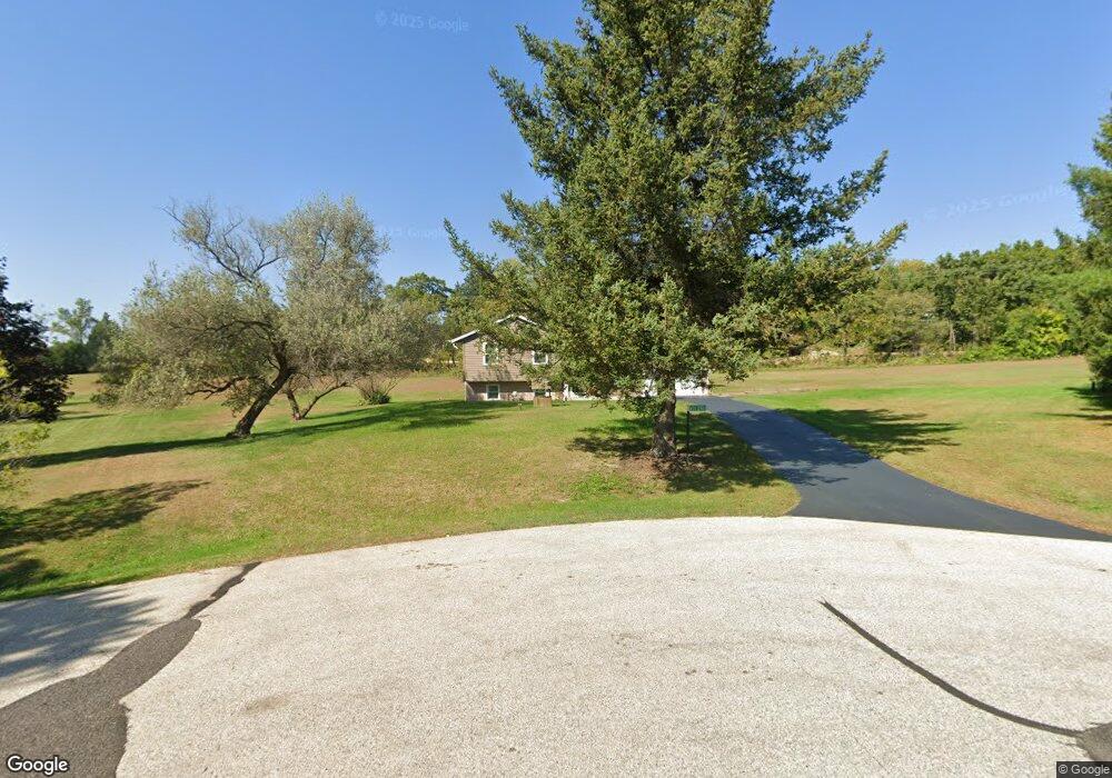
W314S7960 High View Cir Mukwonago, WI 53149
Estimated Value: $331,303 - $413,000
--
Bed
--
Bath
--
Sq Ft
1.5
Acres
About This Home
This home is located at W314S7960 High View Cir, Mukwonago, WI 53149 and is currently estimated at $375,576. W314S7960 High View Cir is a home located in Waukesha County with nearby schools including Section Elementary School, Park View Middle School, and Mukwonago High School.
Ownership History
Date
Name
Owned For
Owner Type
Purchase Details
Closed on
Nov 11, 2021
Sold by
Mckenzie David J and Mckenzie Nancy A
Bought by
Mckenzie David J and Mckenzie Nancy A
Current Estimated Value
Create a Home Valuation Report for This Property
The Home Valuation Report is an in-depth analysis detailing your home's value as well as a comparison with similar homes in the area
Home Values in the Area
Average Home Value in this Area
Purchase History
| Date | Buyer | Sale Price | Title Company |
|---|---|---|---|
| Mckenzie David J | -- | None Listed On Document |
Source: Public Records
Tax History Compared to Growth
Tax History
| Year | Tax Paid | Tax Assessment Tax Assessment Total Assessment is a certain percentage of the fair market value that is determined by local assessors to be the total taxable value of land and additions on the property. | Land | Improvement |
|---|---|---|---|---|
| 2024 | $2,601 | $284,500 | $115,100 | $169,400 |
| 2023 | $2,624 | $185,900 | $75,000 | $110,900 |
| 2022 | $2,591 | $185,900 | $75,000 | $110,900 |
| 2021 | $2,377 | $185,900 | $75,000 | $110,900 |
| 2020 | $2,383 | $185,900 | $75,000 | $110,900 |
| 2019 | $2,161 | $185,900 | $75,000 | $110,900 |
| 2018 | $2,252 | $185,900 | $75,000 | $110,900 |
| 2017 | $2,250 | $185,900 | $75,000 | $110,900 |
| 2016 | $2,289 | $185,900 | $75,000 | $110,900 |
| 2015 | $2,201 | $185,900 | $75,000 | $110,900 |
| 2014 | $2,442 | $185,900 | $75,000 | $110,900 |
| 2013 | $2,442 | $185,900 | $75,000 | $110,900 |
Source: Public Records
Map
Nearby Homes
- S75W32101 Paul Ln
- S77W29967 Crossgate Dr
- 365 Woods Edge Dr
- Lt28 Woods Edge Dr
- Lt26 Woods Edge Dr
- Lt25 Woods Edge Dr
- Lt24 Woods Edge Dr
- The Camille Plan at Chapman Farms
- The Bristol Plan at Chapman Farms
- The Arielle Plan at Chapman Farms
- The Alana Plan at Chapman Farms
- The Hannah Plan at Chapman Farms
- The Brianna Plan at Chapman Farms
- The Lauren Plan at Chapman Farms
- The Skylar Plan at Chapman Farms
- The Francesca Plan at Chapman Farms
- The Sophia Plan at Chapman Farms
- The Hailey Plan at Chapman Farms
- The Peyton Plan at Chapman Farms
- The Charlotte Plan at Chapman Farms
- W314S7950 High View Cir
- W314S7953 High View Cir
- S78W31398 Sugden Rd
- W314S7944 High View Cir
- S78W31338 Sugden Rd
- S78W31358 Sugden Rd
- S78W31212 Sugden Rd
- S79W31438 Green Meadows Dr
- S78W31428 Sugden Rd
- S79W31466 Green Meadows Dr
- S78W31194 Sugden Rd
- S79W31396 Green Meadows Dr
- S78W31450 Sugden Rd
- S79W31480 Green Meadows Dr
- S79W31386 Green Meadows Dr
- S78W31190 Sugden Rd
- W314S7918 Whitmore Rd
- S79W31451 Green Meadows Dr
- S78W31470 Sugden Rd
- S79W31492 Green Meadows Dr