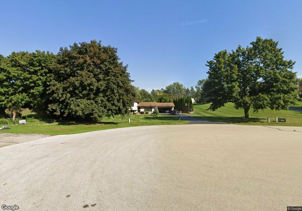
W326S7936 Memory Lane Ct Mukwonago, WI 53149
Estimated Value: $396,187 - $1,232,000
--
Bed
--
Bath
--
Sq Ft
1.03
Acres
About This Home
This home is located at W326S7936 Memory Lane Ct, Mukwonago, WI 53149 and is currently estimated at $643,547. W326S7936 Memory Lane Ct is a home located in Waukesha County with nearby schools including Section Elementary School, Park View Middle School, and Mukwonago High School.
Ownership History
Date
Name
Owned For
Owner Type
Purchase Details
Closed on
Feb 25, 1998
Sold by
Turner Kevin J and Turner Diane L
Bought by
Carrillo Mario D and Carrillo Debra A
Current Estimated Value
Home Financials for this Owner
Home Financials are based on the most recent Mortgage that was taken out on this home.
Original Mortgage
$100,000
Interest Rate
7.08%
Create a Home Valuation Report for This Property
The Home Valuation Report is an in-depth analysis detailing your home's value as well as a comparison with similar homes in the area
Home Values in the Area
Average Home Value in this Area
Purchase History
| Date | Buyer | Sale Price | Title Company |
|---|---|---|---|
| Carrillo Mario D | $146,000 | -- |
Source: Public Records
Mortgage History
| Date | Status | Borrower | Loan Amount |
|---|---|---|---|
| Previous Owner | Carrillo Mario D | $100,000 |
Source: Public Records
Tax History Compared to Growth
Tax History
| Year | Tax Paid | Tax Assessment Tax Assessment Total Assessment is a certain percentage of the fair market value that is determined by local assessors to be the total taxable value of land and additions on the property. | Land | Improvement |
|---|---|---|---|---|
| 2024 | $3,076 | $333,300 | $100,900 | $232,400 |
| 2023 | $3,332 | $232,400 | $75,000 | $157,400 |
| 2022 | $3,285 | $232,400 | $75,000 | $157,400 |
| 2021 | $3,036 | $232,400 | $75,000 | $157,400 |
| 2020 | $3,029 | $232,400 | $75,000 | $157,400 |
| 2019 | $2,753 | $232,400 | $75,000 | $157,400 |
| 2018 | $2,863 | $232,400 | $75,000 | $157,400 |
| 2017 | $2,851 | $232,400 | $75,000 | $157,400 |
| 2016 | $2,904 | $232,400 | $75,000 | $157,400 |
| 2015 | $2,789 | $232,400 | $75,000 | $157,400 |
| 2014 | $3,094 | $232,400 | $75,000 | $157,400 |
| 2013 | $3,094 | $232,400 | $75,000 | $157,400 |
Source: Public Records
Map
Nearby Homes
- W330S7098 County Rd E
- W309S8296 County Road I
- S91W31622 Marys Ct
- W312S8869 Cherokee Pass
- W332S9291 Red Brae Dr
- S81W30467 Bailey
- 212 W State Rd
- 508 Karin Dr
- 922 Medina Dr
- 842 Medina Dr
- 365 Woods Edge Dr
- Lt24 Woods Edge Dr
- Lt28 Woods Edge Dr
- Lt26 Woods Edge Dr
- Lt25 Woods Edge Dr
- 754 Brockway Dr
- 1575 Fairwinds Blvd
- 1625 Fairwinds Blvd
- 1534 Fairwinds Blvd
- s75w35621 Wilton Rd
- W326S7954 Memory Lane Ct
- W326S7928 Memory Lane Ct
- W326S7927 Memory Lane Ct
- S79W32651 Sugden Rd
- W326S7976 Memory Lane Ct
- W326S7941 Memory Lane Ct
- W326S7957 Memory Lane Ct
- W326S7992 Memory Lane Ct
- S79W32607 Sugden Rd
- W327S7865 Squire Ct
- W326S7985 Memory Lane Ct
- W327S7860 Squire Ct
- W326S7965 Rolling Hills Ct
- W327S8010 Memory Lane Ct
- S79W32571 Sugden Rd
- W325S7883 Squire Ln
- W327S8007 Memory Lane Ct
- W327S7844 Squire Ct
- W327S7857 Squire Ct
- W328S7882 Glen Way