W327S8106 Memory Ln Mukwonago, WI 53149
Estimated Value: $480,490 - $544,000
--
Bed
--
Bath
--
Sq Ft
2.49
Acres
About This Home
This home is located at W327S8106 Memory Ln, Mukwonago, WI 53149 and is currently estimated at $502,830. W327S8106 Memory Ln is a home located in Waukesha County with nearby schools including Prairie View Elementary School, Park View Middle School, and Mukwonago High School.
Ownership History
Date
Name
Owned For
Owner Type
Purchase Details
Closed on
Jun 22, 2006
Sold by
Bahl David V and Mehling Dana L
Bought by
Dennert William B and Dennert Constance M
Current Estimated Value
Home Financials for this Owner
Home Financials are based on the most recent Mortgage that was taken out on this home.
Original Mortgage
$200,000
Outstanding Balance
$117,939
Interest Rate
6.72%
Mortgage Type
Purchase Money Mortgage
Estimated Equity
$384,891
Create a Home Valuation Report for This Property
The Home Valuation Report is an in-depth analysis detailing your home's value as well as a comparison with similar homes in the area
Home Values in the Area
Average Home Value in this Area
Purchase History
| Date | Buyer | Sale Price | Title Company |
|---|---|---|---|
| Dennert William B | $250,000 | None Available |
Source: Public Records
Mortgage History
| Date | Status | Borrower | Loan Amount |
|---|---|---|---|
| Open | Dennert William B | $200,000 |
Source: Public Records
Tax History Compared to Growth
Tax History
| Year | Tax Paid | Tax Assessment Tax Assessment Total Assessment is a certain percentage of the fair market value that is determined by local assessors to be the total taxable value of land and additions on the property. | Land | Improvement |
|---|---|---|---|---|
| 2024 | $3,917 | $419,700 | $144,700 | $275,000 |
| 2023 | $3,813 | $264,000 | $80,000 | $184,000 |
| 2022 | $3,757 | $264,000 | $80,000 | $184,000 |
| 2021 | $3,483 | $264,000 | $80,000 | $184,000 |
| 2020 | $3,467 | $264,000 | $80,000 | $184,000 |
| 2019 | $3,156 | $264,000 | $80,000 | $184,000 |
| 2018 | $3,278 | $264,000 | $80,000 | $184,000 |
| 2017 | $3,260 | $264,000 | $80,000 | $184,000 |
| 2016 | $3,322 | $264,000 | $80,000 | $184,000 |
| 2015 | $3,188 | $264,000 | $80,000 | $184,000 |
| 2014 | $3,538 | $264,000 | $80,000 | $184,000 |
| 2013 | $3,538 | $264,000 | $80,000 | $184,000 |
Source: Public Records
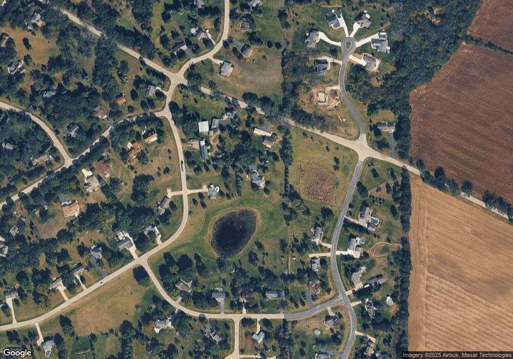
Map
Nearby Homes
- W330S7098 County Rd E
- S91W31622 Marys Ct
- W332S9291 Red Brae Dr
- W312S8869 Cherokee Pass
- W309S8296 County Road I
- S81W30467 Bailey
- 212 W State Rd
- 922 Medina Dr
- 842 Medina Dr
- 754 Brockway Dr
- 365 Woods Edge Dr
- Lt24 Woods Edge Dr
- Lt28 Woods Edge Dr
- Lt26 Woods Edge Dr
- Lt25 Woods Edge Dr
- 508 Karin Dr
- 1575 Fairwinds Blvd
- 1625 Fairwinds Blvd
- 1534 Fairwinds Blvd
- Lt5 Jacob Ln
- W327S8019 County Road Ee
- W325S8141 Jericho Rd
- W327S8127 Memory Ln
- W325S8171 Jericho Rd
- Lt6 Rolling Hills Reserve
- W326S8035 Rolling Hills Ct
- W326S8035 Rolling Hills Ct Unit W326S8035
- W325S8120 Jericho Rd
- W327S8010 Memory Lane Ct
- S82W32632 Paradise Ln
- W325S8160 Jericho Rd
- S82W32662 Paradise Ln
- Lt1 Rolling Hills Reserve Unit Lt1
- W327S8163 Memory Ln
- W327S8068 S Oak Tree Dr
- S82W32590 Paradise Ln
- S82W32694 Paradise Ln
- W326S7992 Memory Lane Ct
- S81W32744 Paradise Ln
- Lt8 Rolling Hills Reserve