Estimated Value: $246,200 - $302,000
--
Bed
--
Bath
--
Sq Ft
1
Acres
About This Home
This home is located at W3298 State Highway 98, Loyal, WI 54446 and is currently estimated at $267,550. W3298 State Highway 98 is a home located in Clark County with nearby schools including Loyal Elementary School, Loyal Middle School, and Loyal High School.
Ownership History
Date
Name
Owned For
Owner Type
Purchase Details
Closed on
Feb 24, 2014
Sold by
Shafto Joshua T
Bought by
Joshua T Shafto And Erin Shafto Revocable Tru
Current Estimated Value
Purchase Details
Closed on
Sep 2, 2010
Sold by
Citizens State Bank Of Loyal
Bought by
Shafto Joshua T and Shafto Erin
Purchase Details
Closed on
Aug 21, 2009
Sold by
Neustedt Steven and Neustedt Steven G
Bought by
Citizens State Bank Of Loyal
Create a Home Valuation Report for This Property
The Home Valuation Report is an in-depth analysis detailing your home's value as well as a comparison with similar homes in the area
Home Values in the Area
Average Home Value in this Area
Purchase History
| Date | Buyer | Sale Price | Title Company |
|---|---|---|---|
| Joshua T Shafto And Erin Shafto Revocable Tru | $135,100 | -- | |
| Shafto Joshua T | $107,000 | Schuster Campman Abstract & | |
| Citizens State Bank Of Loyal | -- | -- |
Source: Public Records
Tax History Compared to Growth
Tax History
| Year | Tax Paid | Tax Assessment Tax Assessment Total Assessment is a certain percentage of the fair market value that is determined by local assessors to be the total taxable value of land and additions on the property. | Land | Improvement |
|---|---|---|---|---|
| 2024 | $3,727 | $197,600 | $4,000 | $193,600 |
| 2023 | $3,281 | $197,600 | $4,000 | $193,600 |
| 2022 | $2,942 | $197,600 | $4,000 | $193,600 |
| 2021 | $2,986 | $197,600 | $4,000 | $193,600 |
| 2020 | $3,023 | $154,800 | $4,900 | $149,900 |
| 2019 | $3,012 | $154,800 | $4,900 | $149,900 |
| 2018 | $2,983 | $154,800 | $4,900 | $149,900 |
| 2017 | $99 | $153,800 | $4,900 | $148,900 |
| 2016 | $2,967 | $138,000 | $4,900 | $133,100 |
| 2015 | -- | $138,000 | $4,900 | $133,100 |
| 2014 | -- | $138,000 | $4,900 | $133,100 |
| 2013 | -- | $138,000 | $4,900 | $133,100 |
| 2011 | -- | $138,000 | $4,900 | $133,100 |
Source: Public Records
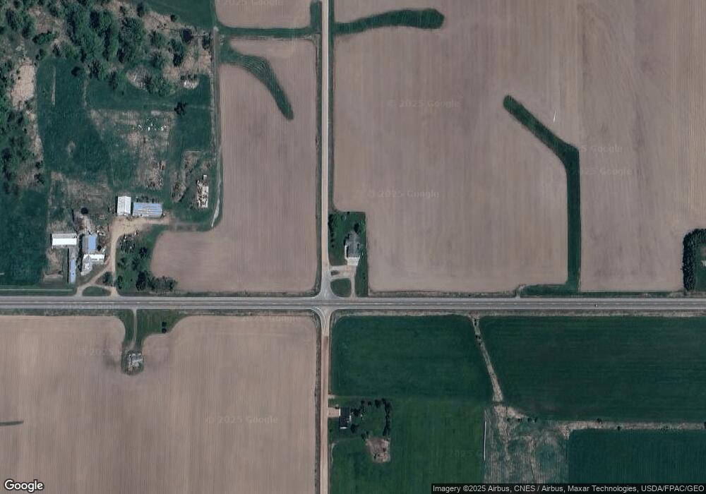
Map
Nearby Homes
- 314 N Division St
- 0 Chickadee Rd Unit 22505635
- 210 S Division St
- 400 W Mill St
- 311 W South St
- 309 S West St
- 501 S Main St
- 508 W South St
- N10160 Sparrow Ave
- N6695 Pelsdorf Ave
- 609 E Schofield Ave
- 203 S Crocker Ave
- 311 S Eaton Ave Unit 1-12
- 300 E Division St
- 300 E Miller St
- 212 N Main St
- 219 N Main St
- 104 W Begley St
- 315 W Begley St
- N8296 River Ave
- N8868 Pelsdorf Ave
- N9010 Pelsdorf Ave
- W3172 State Highway 98
- W3455 State Highway 98
- W3455 State Highway 98
- N8750 Pelsdorf Ave
- N8750 Pelsdorf Ave
- 607 E Elm Dr
- 604 E Elm Dr
- 605 E Elm Dr
- N8972 Robin Ave
- N8972 Robin Ave
- N8972 Robin Ave
- 500 E Elm Dr
- 600 E Elm Dr Unit 313
- 502 N Wolf St
- 508 E Elm Dr
- 509 E Elm Dr
- 509 E Elm Dr
- 508 E 1st St