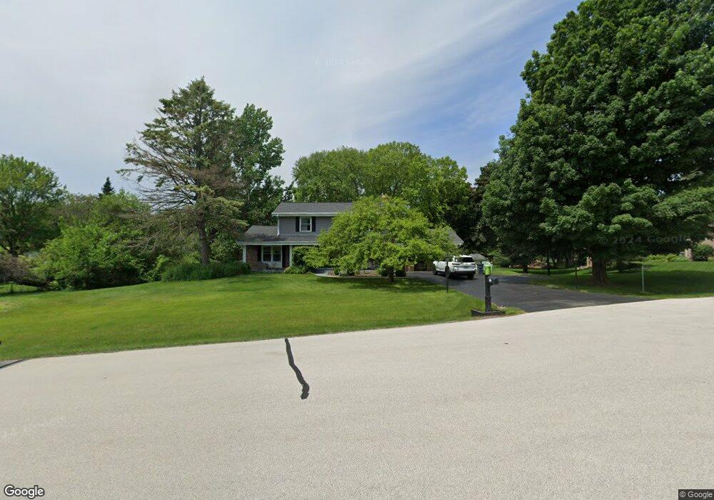
W331N5427 Cherry Ct Nashotah, WI 53058
Estimated Value: $477,000 - $539,000
--
Bed
--
Bath
--
Sq Ft
0.7
Acres
About This Home
This home is located at W331N5427 Cherry Ct, Nashotah, WI 53058 and is currently estimated at $516,274. W331N5427 Cherry Ct is a home located in Waukesha County with nearby schools including Lake Country School, Arrowhead High School, and Lake Country Montessori.
Ownership History
Date
Name
Owned For
Owner Type
Purchase Details
Closed on
Sep 12, 2018
Sold by
Gray Scott M and Gray Christina M
Bought by
Gray Scott M and Gray Christina M
Current Estimated Value
Purchase Details
Closed on
Jul 13, 2015
Sold by
Wilberscheid Paul W and Wilberscheid Bonnie J
Bought by
Gary Scott M and Yunker Christina M
Home Financials for this Owner
Home Financials are based on the most recent Mortgage that was taken out on this home.
Original Mortgage
$275,910
Outstanding Balance
$216,557
Interest Rate
4.05%
Mortgage Type
FHA
Estimated Equity
$299,717
Purchase Details
Closed on
Apr 1, 1999
Sold by
Wilberscheid Paul W and Wilberscheid Bonnie J
Bought by
Wilberscheid Paul W and Wilberscheid Bonnie J
Create a Home Valuation Report for This Property
The Home Valuation Report is an in-depth analysis detailing your home's value as well as a comparison with similar homes in the area
Home Values in the Area
Average Home Value in this Area
Purchase History
| Date | Buyer | Sale Price | Title Company |
|---|---|---|---|
| Gray Scott M | -- | None Available | |
| Gary Scott M | $281,000 | Priority Title Corp | |
| Wilberscheid Paul W | -- | -- |
Source: Public Records
Mortgage History
| Date | Status | Borrower | Loan Amount |
|---|---|---|---|
| Open | Gary Scott M | $275,910 |
Source: Public Records
Tax History Compared to Growth
Tax History
| Year | Tax Paid | Tax Assessment Tax Assessment Total Assessment is a certain percentage of the fair market value that is determined by local assessors to be the total taxable value of land and additions on the property. | Land | Improvement |
|---|---|---|---|---|
| 2024 | $3,241 | $289,000 | $70,000 | $219,000 |
| 2023 | $2,840 | $289,000 | $70,000 | $219,000 |
| 2022 | $2,757 | $289,000 | $70,000 | $219,000 |
| 2021 | $2,451 | $289,000 | $70,000 | $219,000 |
| 2020 | $2,574 | $289,000 | $70,000 | $219,000 |
| 2019 | $2,441 | $235,300 | $65,500 | $169,800 |
| 2018 | $2,499 | $235,300 | $65,500 | $169,800 |
| 2017 | $2,480 | $235,300 | $65,500 | $169,800 |
| 2016 | $2,688 | $235,300 | $65,500 | $169,800 |
| 2015 | $2,664 | $235,300 | $65,500 | $169,800 |
| 2014 | $2,723 | $235,300 | $65,500 | $169,800 |
| 2013 | $2,723 | $240,300 | $65,500 | $174,800 |
Source: Public Records
Map
Nearby Homes
- W335N5511 Island View Ln
- 32683 Pheasant Dr
- W332N6211 County Road C
- N52W34404 Peterson Dr
- W332n6481 County Road C
- W343N6205 S Bayview Rd
- W332N6553 County Road C
- N43W32953 Rasmus Rd Unit 3-H
- W329N6495 Forest Dr
- N43W32801 Rasmus Rd Unit 9E
- 4779 Pine Meadows Ln
- Lt8 Road L
- Lt5 Road L
- Lt9-13 Road L
- Lt1-3 Road L
- N42W33349 Glen View Ct
- L16,17,18 Road L -
- N41W33425 Nashotah Rd
- 1722 Journeys Dr Unit 15
- N53W34956 Road b
- W331N5435 Cherry Ct
- W331N5399 Cherry Ct
- W332N5452 Solveson Dr
- N53W33190 Linden Cir E
- W332N5430 Solveson Dr
- W331N5470 Solveson Dr
- W331N5442 Cherry Ct
- W331N5467 Linden Cir E
- W330N5419 Linden Cir E
- W332N5394 Solveson Dr
- W331N5365 Cherry Ct
- W331N5492 Solveson Dr
- W331N5378 Cherry Ct
- N53W33177 Linden Cir E
- W330N5445 Linden Cir E
- W332N5447 Solveson Dr
- N53W33205 Linden Cir E
- W332N5425 Solveson Dr
- N54W33083 Linden Cir E
- W330N5455 Linden Cir E