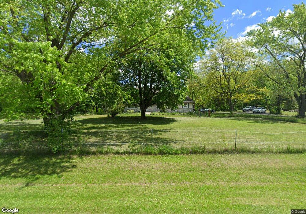
W333S4608 Fieldstone Dr Dousman, WI 53118
Estimated Value: $556,000 - $625,000
4
Beds
3
Baths
--
Sq Ft
3
Acres
About This Home
This home is located at W333S4608 Fieldstone Dr, Dousman, WI 53118 and is currently estimated at $588,208. W333S4608 Fieldstone Dr is a home located in Waukesha County with nearby schools including Prairie View Elementary School, Park View Middle School, and Mukwonago High School.
Ownership History
Date
Name
Owned For
Owner Type
Purchase Details
Closed on
Jan 29, 2015
Sold by
Tews John R
Bought by
Tews Andrea K
Current Estimated Value
Purchase Details
Closed on
Jul 9, 2010
Sold by
Olson Bradley A
Bought by
Tews John R and Tews Andrea K
Home Financials for this Owner
Home Financials are based on the most recent Mortgage that was taken out on this home.
Original Mortgage
$283,100
Outstanding Balance
$189,155
Interest Rate
4.83%
Mortgage Type
New Conventional
Estimated Equity
$399,053
Purchase Details
Closed on
Feb 11, 2009
Sold by
Knors Joan C
Bought by
Olson Bradley A
Create a Home Valuation Report for This Property
The Home Valuation Report is an in-depth analysis detailing your home's value as well as a comparison with similar homes in the area
Home Values in the Area
Average Home Value in this Area
Purchase History
| Date | Buyer | Sale Price | Title Company |
|---|---|---|---|
| Tews Andrea K | -- | None Available | |
| Tews John R | $298,000 | Priority Title Corporation | |
| Olson Bradley A | $197,000 | None Available |
Source: Public Records
Mortgage History
| Date | Status | Borrower | Loan Amount |
|---|---|---|---|
| Open | Tews John R | $283,100 |
Source: Public Records
Tax History Compared to Growth
Tax History
| Year | Tax Paid | Tax Assessment Tax Assessment Total Assessment is a certain percentage of the fair market value that is determined by local assessors to be the total taxable value of land and additions on the property. | Land | Improvement |
|---|---|---|---|---|
| 2024 | $3,722 | $429,500 | $175,000 | $254,500 |
| 2023 | $3,481 | $419,500 | $165,000 | $254,500 |
| 2022 | $3,627 | $375,500 | $140,000 | $235,500 |
| 2021 | $3,390 | $273,000 | $75,000 | $198,000 |
| 2020 | $3,465 | $273,000 | $75,000 | $198,000 |
| 2019 | $3,139 | $273,000 | $75,000 | $198,000 |
| 2018 | $3,177 | $273,000 | $75,000 | $198,000 |
| 2017 | $2,937 | $254,000 | $75,000 | $179,000 |
| 2016 | $3,083 | $254,000 | $75,000 | $179,000 |
| 2015 | $3,052 | $254,000 | $75,000 | $179,000 |
| 2014 | $3,056 | $254,000 | $75,000 | $179,000 |
| 2013 | $3,056 | $247,000 | $75,000 | $172,000 |
Source: Public Records
Map
Nearby Homes
- S44W34008 Deerpark Dr
- W339S5350 Prairie View Dr
- W321S4019 Sadie Ln
- Lt1 County Rd E
- S43W31907 Depot Rd
- S37W31726 Bennett Rd
- 110 N Harrison St
- S40W31356 Johns Way
- 318 Eagles Cove Cir Unit 31
- 407 Morrissey Dr
- W305S5060 Wisconsin 83
- 412 S Taliesin Rd
- S26W35135 Woodstream Ct
- 215 W Pembroke Way Unit 217
- S29W30961 Wild Berry Ln
- 440 S Brandybrook Rd
- W330S7098 County Rd E
- 856 S Mill Pond Rd
- 205 Kummrow Ct
- 215 Criglas Rd
- W333S4646 Fieldstone Dr
- S45W33322 Fieldstone Dr
- S45W33410 Hengen Dr
- S45W33280 Fieldstone Dr
- W333S4688 Fieldstone Dr
- S45W33415 Hengen Dr
- S45W33230 Fieldstone Dr
- W330S4949 County Rd E
- S45W33434 Hengen Dr
- S45W33449 Hengen Dr
- W333S4720 Fieldstone Dr
- W333S4667 Fieldstone Dr
- S44W33329 Connemara Dr
- S44W33269 Connemara Dr
- W333S4754 Fieldstone Dr
- S44W33375 Connemara Dr
- S45W33472 Hengen Dr
- S48W33286 Onisch Dr
- S44W33215 Connemara Dr
- S45W33545 Hengen Dr