Estimated Value: $288,000 - $448,000
--
Bed
--
Bath
--
Sq Ft
20
Acres
About This Home
This home is located at W3432 Rock Creek Rd, Loyal, WI 54446 and is currently estimated at $392,738. W3432 Rock Creek Rd is a home located in Clark County with nearby schools including Loyal Elementary School, Loyal Middle School, and Loyal High School.
Ownership History
Date
Name
Owned For
Owner Type
Purchase Details
Closed on
Apr 30, 2014
Sold by
Scott Scott and Schmidt Janet G
Bought by
Smith Ryan S and Schoonover Lindsey
Current Estimated Value
Home Financials for this Owner
Home Financials are based on the most recent Mortgage that was taken out on this home.
Original Mortgage
$230,743
Outstanding Balance
$175,325
Interest Rate
4.25%
Mortgage Type
FHA
Estimated Equity
$217,413
Create a Home Valuation Report for This Property
The Home Valuation Report is an in-depth analysis detailing your home's value as well as a comparison with similar homes in the area
Home Values in the Area
Average Home Value in this Area
Purchase History
| Date | Buyer | Sale Price | Title Company |
|---|---|---|---|
| Smith Ryan S | $235,000 | Schuster Campman Abstract An |
Source: Public Records
Mortgage History
| Date | Status | Borrower | Loan Amount |
|---|---|---|---|
| Open | Smith Ryan S | $230,743 |
Source: Public Records
Tax History Compared to Growth
Tax History
| Year | Tax Paid | Tax Assessment Tax Assessment Total Assessment is a certain percentage of the fair market value that is determined by local assessors to be the total taxable value of land and additions on the property. | Land | Improvement |
|---|---|---|---|---|
| 2024 | $5,185 | $219,000 | $12,000 | $207,000 |
| 2023 | $4,632 | $218,800 | $11,800 | $207,000 |
| 2022 | $3,581 | $203,500 | $12,000 | $191,500 |
| 2021 | $3,465 | $203,300 | $11,800 | $191,500 |
| 2020 | $3,688 | $203,200 | $11,700 | $191,500 |
| 2019 | $3,840 | $203,200 | $11,700 | $191,500 |
| 2018 | $3,254 | $158,400 | $8,700 | $149,700 |
| 2017 | $184 | $158,400 | $8,700 | $149,700 |
| 2016 | $3,201 | $158,300 | $8,600 | $149,700 |
| 2015 | -- | $158,300 | $8,600 | $149,700 |
| 2014 | -- | $158,400 | $8,700 | $149,700 |
| 2013 | -- | $158,400 | $8,700 | $149,700 |
| 2011 | -- | $148,100 | $6,300 | $141,800 |
Source: Public Records
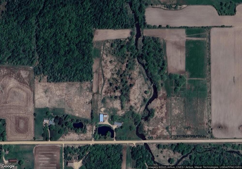
Map
Nearby Homes
- N10160 Sparrow Ave
- 314 N Division St
- 400 W Mill St
- 311 W South St
- 210 S Division St
- 508 W South St
- 309 S West St
- 501 S Main St
- 0 Chickadee Rd Unit 22505635
- 609 E Schofield Ave
- 203 S Crocker Ave
- 300 E Miller St
- 300 E Division St
- 311 S Eaton Ave Unit 1-12
- 212 N Main St
- 219 N Main St
- 104 W Begley St
- 315 W Begley St
- W6126 Sladich Rd
- 0 Hiline Ave Unit 22504296
- W3490 Rock Creek Rd
- W3449 Rock Creek Rd
- W3527 Rock Creek Rd
- W4590 Rock Creek Rd
- N9744 Pelsdorf Ave
- N9909 Pelsdorf Ave
- N9720 County Road K
- N9815 County Road K
- W3161 Rock Creek Rd
- W3734 Rock Creek Rd
- N9536 County Road K
- N9898 County Road K
- N9899 County Road K
- N9536 County Road K
- N9735 Robin Ave
- N9543 Robin Ave
- N9495 County Road K
- N9495 County Road K
- N9540 County Road K
- N9951 County Road K