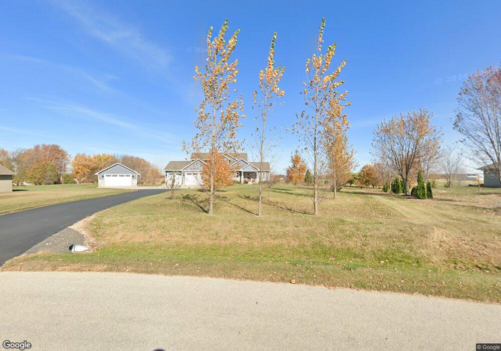
W344 Hawks Nest Ln Kaukauna, WI 54130
Estimated Value: $466,000 - $707,761
--
Bed
--
Bath
--
Sq Ft
4.28
Acres
About This Home
This home is located at W344 Hawks Nest Ln, Kaukauna, WI 54130 and is currently estimated at $585,190. W344 Hawks Nest Ln is a home with nearby schools including River View School, Kaukauna High School, and Park Community Charter School.
Ownership History
Date
Name
Owned For
Owner Type
Purchase Details
Closed on
Feb 8, 2024
Sold by
Buckoski Aaron and Buckoski Amanda
Bought by
Outagamie County
Current Estimated Value
Purchase Details
Closed on
Sep 4, 2013
Sold by
Arnoldussen Adam J
Bought by
Buckoski Aaron and Buckoski Amanda
Purchase Details
Closed on
Sep 27, 2006
Sold by
Sunrise Dairy Farm
Bought by
Arnoldussen Adam J and Arnoldussen Brenda M
Create a Home Valuation Report for This Property
The Home Valuation Report is an in-depth analysis detailing your home's value as well as a comparison with similar homes in the area
Home Values in the Area
Average Home Value in this Area
Purchase History
| Date | Buyer | Sale Price | Title Company |
|---|---|---|---|
| Outagamie County | $3,300 | None Listed On Document | |
| Buckoski Aaron | $56,000 | -- | |
| Arnoldussen Adam J | $65,400 | -- |
Source: Public Records
Tax History Compared to Growth
Tax History
| Year | Tax Paid | Tax Assessment Tax Assessment Total Assessment is a certain percentage of the fair market value that is determined by local assessors to be the total taxable value of land and additions on the property. | Land | Improvement |
|---|---|---|---|---|
| 2024 | $7,462 | $625,100 | $69,100 | $556,000 |
| 2023 | $6,376 | $576,600 | $69,100 | $507,500 |
| 2022 | $5,967 | $503,000 | $69,100 | $433,900 |
| 2021 | $6,117 | $428,800 | $53,100 | $375,700 |
| 2020 | $6,239 | $394,400 | $53,100 | $341,300 |
| 2019 | $6,037 | $372,200 | $53,100 | $319,100 |
| 2018 | $5,901 | $354,800 | $53,100 | $301,700 |
| 2017 | $6,086 | $345,600 | $56,000 | $289,600 |
| 2016 | $1,089 | $56,000 | $56,000 | $0 |
| 2015 | $947 | $56,000 | $56,000 | $0 |
| 2014 | $945 | $56,000 | $56,000 | $0 |
| 2013 | $13 | $800 | $800 | $0 |
Source: Public Records
Map
Nearby Homes
- N884 County Road Gg
- 260 Lamers Clancy Rd
- 2326 Olde Country Cir
- 2221 White Wolf Ln
- 2450 Manchester Dr
- 2170 White Wolf Ln
- 3400 Beckett Ln
- 1990 Greengrove St
- 2080 Meadowview St
- 2081 Antelope Trail
- 2070 Bear Paw Trail
- 2060 Bear Paw Trail
- 3016 White Birch St
- 2041 Bear Paw Trail
- 2010 White Dove Ln
- 2040 White Dove Ln
- 2018 White Dove Ln
- 2014 White Dove Ln
- 2030 Red Fox Ln
- 2034 Red Fox Ln
- W336 Hawks Nest Ln
- W348 Hawks Nest Ln
- W325 Hawks Nest Ln
- W314 Hawks Nest Ln
- W347 County Road z
- W296 Hawks Nest Ln
- W281 Hawks Nest Ln
- W394 Hawks Nest Ln
- W393 Hawks Nest Ln
- 0 Marsh Hawk Ct Unit 50140491
- 0 Marsh Hawk Ct Unit 50251509
- 0 Marsh Hawk Ct Unit 50093596
- W368 Marsh Hawk Ct
- W274 Hawks Nest Ln
- W353 Marsh Hawk Ct
- N816 Powers Rd
- W367 Marsh Hawk Ct
- W258 Hawks Nest Ln
- W242 Hawks Nest Ln
- W237 Hawks Nest Ln