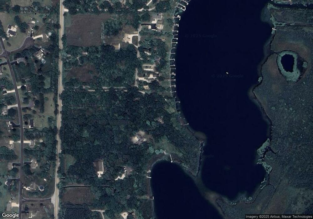
W359S2608 State Road 67 Dousman, WI 53118
Estimated Value: $457,000 - $764,025
--
Bed
--
Bath
--
Sq Ft
0.94
Acres
About This Home
This home is located at W359S2608 State Road 67, Dousman, WI 53118 and is currently estimated at $640,256. W359S2608 State Road 67 is a home located in Waukesha County with nearby schools including Dousman Elementary School, Kettle Moraine Middle School, and Kettle Moraine High School.
Ownership History
Date
Name
Owned For
Owner Type
Purchase Details
Closed on
Jul 9, 2024
Sold by
Pogodzinski Thomas L and Pogodzinski Elizabeth L
Bought by
Steven Cass Revocable Living Trust
Current Estimated Value
Create a Home Valuation Report for This Property
The Home Valuation Report is an in-depth analysis detailing your home's value as well as a comparison with similar homes in the area
Home Values in the Area
Average Home Value in this Area
Purchase History
| Date | Buyer | Sale Price | Title Company |
|---|---|---|---|
| Steven Cass Revocable Living Trust | $425,000 | Knight Barry Title |
Source: Public Records
Tax History Compared to Growth
Tax History
| Year | Tax Paid | Tax Assessment Tax Assessment Total Assessment is a certain percentage of the fair market value that is determined by local assessors to be the total taxable value of land and additions on the property. | Land | Improvement |
|---|---|---|---|---|
| 2024 | $5,554 | $657,000 | $487,000 | $170,000 |
| 2023 | $5,424 | $657,000 | $487,000 | $170,000 |
| 2022 | $6,449 | $644,000 | $474,000 | $170,000 |
| 2021 | $5,787 | $475,000 | $365,000 | $110,000 |
| 2020 | $6,334 | $475,000 | $365,000 | $110,000 |
| 2019 | $5,992 | $475,000 | $365,000 | $110,000 |
| 2018 | $5,861 | $475,000 | $365,000 | $110,000 |
| 2017 | $5,878 | $475,000 | $365,000 | $110,000 |
| 2016 | $5,732 | $475,000 | $365,000 | $110,000 |
| 2015 | $5,734 | $475,000 | $365,000 | $110,000 |
| 2014 | $6,342 | $475,000 | $365,000 | $110,000 |
| 2013 | $6,342 | $475,000 | $365,000 | $110,000 |
Source: Public Records
Map
Nearby Homes
- W361S2389 Scuppernong Dr
- Lt2 Mill Pond Rd
- S26W35135 Woodstream Ct
- 856 S Mill Pond Rd
- Lt1 E Ottawa Ave
- 460 E Red Pine Cir
- 148 Wolf Dr
- N62W35431 William Ct
- Lt8 Wolf Dr
- Lt7 Wolf Dr
- Lt6 Wolf Dr
- Lt5 Wolf Dr
- Lt4 Wolf Dr
- Lt2 Wolf Dr
- S31W37307 School Section Lake Rd
- 144 Evergreen St
- 109 Johnston Dr Unit 111
- Lt50 W Ingleside Ct
- Lt49 Ingleside Ct
- Lt38 W Ingleside Ct
- W359S2706 State Road 67
- W359S2672 State Road 67
- W359S2608 State Road 67
- W359S2588 State Road 67
- W359S2632 State Road 67
- W359S2592 State Road 67
- W360S2770 Scuppernong Dr
- W360S2750 Scuppernong Dr
- W360S2771 Scuppernong Dr
- W360S2790 Scuppernong Dr
- W360S2785 Scuppernong Dr
- W360S2749 Scuppernong Dr
- W360S2730 Scuppernong Dr
- W359S2710 State Road 67
- W360S2810 Scuppernong Dr
- W360S2729 Scuppernong Dr
- W360S2801 Scuppernong Dr
- W359S2784 State Road 67
- W360S2710 Scuppernong Dr
- W360S2834 Scuppernong Dr
