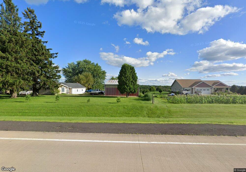
W3809 Us Highway 14 61 Coon Valley, WI 54623
Estimated Value: $290,000 - $310,474
3
Beds
2
Baths
--
Sq Ft
1.22
Acres
About This Home
This home is located at W3809 Us Highway 14 61, Coon Valley, WI 54623 and is currently estimated at $299,369. W3809 Us Highway 14 61 is a home located in La Crosse County with nearby schools including Southern Bluffs Elementary School, Longfellow Middle School, and Central High School.
Ownership History
Date
Name
Owned For
Owner Type
Purchase Details
Closed on
May 16, 2025
Sold by
Johnson Brian T and Johnson Elizabeth E
Bought by
Melbo John S
Current Estimated Value
Home Financials for this Owner
Home Financials are based on the most recent Mortgage that was taken out on this home.
Original Mortgage
$284,900
Outstanding Balance
$283,889
Interest Rate
6.64%
Mortgage Type
New Conventional
Estimated Equity
$15,480
Purchase Details
Closed on
Oct 28, 2015
Sold by
Lessard Clyde G and Lessard Carla K
Bought by
Johnson Brian T and Johnson Elizabeth E
Home Financials for this Owner
Home Financials are based on the most recent Mortgage that was taken out on this home.
Original Mortgage
$145,800
Interest Rate
3.82%
Mortgage Type
New Conventional
Create a Home Valuation Report for This Property
The Home Valuation Report is an in-depth analysis detailing your home's value as well as a comparison with similar homes in the area
Home Values in the Area
Average Home Value in this Area
Purchase History
| Date | Buyer | Sale Price | Title Company |
|---|---|---|---|
| Melbo John S | $304,900 | Sterling Title | |
| Johnson Brian T | $162,000 | -- |
Source: Public Records
Mortgage History
| Date | Status | Borrower | Loan Amount |
|---|---|---|---|
| Open | Melbo John S | $284,900 | |
| Previous Owner | Johnson Brian T | $145,800 |
Source: Public Records
Tax History Compared to Growth
Tax History
| Year | Tax Paid | Tax Assessment Tax Assessment Total Assessment is a certain percentage of the fair market value that is determined by local assessors to be the total taxable value of land and additions on the property. | Land | Improvement |
|---|---|---|---|---|
| 2024 | $2,673 | $188,400 | $33,700 | $154,700 |
| 2023 | $2,596 | $188,400 | $33,700 | $154,700 |
| 2022 | $2,349 | $188,400 | $33,700 | $154,700 |
| 2021 | $2,704 | $188,400 | $33,700 | $154,700 |
| 2020 | $3,077 | $152,400 | $26,700 | $125,700 |
| 2019 | $3,017 | $152,400 | $26,700 | $125,700 |
| 2018 | $3,002 | $152,400 | $26,700 | $125,700 |
| 2017 | $2,852 | $152,400 | $26,700 | $125,700 |
| 2016 | $3,079 | $152,400 | $26,700 | $125,700 |
| 2015 | $2,838 | $152,400 | $26,700 | $125,700 |
| 2014 | $2,737 | $152,400 | $26,700 | $125,700 |
| 2013 | $3,005 | $152,400 | $26,700 | $125,700 |
Source: Public Records
Map
Nearby Homes
- 0000 Korthals Ln
- 8.04 Ac County Road Nn
- 000 Niesen Rd
- 000 Betz Rd
- 35 +/- Ac County Road Nn
- N1583 Meadow Ridge Rd
- W4934 Mill St
- W4945 Harvest Ln
- N1110 Bloomer Mill Rd
- N1394 Red Oaks Dr
- 000 Us Highway 14 61 -
- W842 County Road K
- 215 Central Ave
- N1947 Forest Ridge Dr
- W2649 Wisconsin 33
- W2658 Wisconsin 33
- W4946 Battlestone Station Rd Unit 23
- W4952 Battlestone Station Rd Unit 25
- 5615 Meir Ct
- 78 Chipmunk Ridge Rd
- W3803 Us Highway 14 61
- W3839 Us Highway 14 61
- W3845 Us Highway 14 61
- W3849 Us Highway 14 61
- W3693 Us Highway 14 61
- N415 Bartsch Rd
- N480 Bartsch Rd
- N479 Bartsch Rd
- W3615 Cemetery Ln
- W3611 Cemetery Ln
- W3680 Us Highway 14 61
- N410 Ten Mile Cir
- W3609 Cemetery Ln
- W4028 Us Highway 14 61
- N406 Ten Mile Cir
- W3607 Us Highway 14 61
- W4040 Us Highway 14 61
- N442 Ten Mile Cir
- 4102 Ober Rd
- N413 Ten Mile Cir