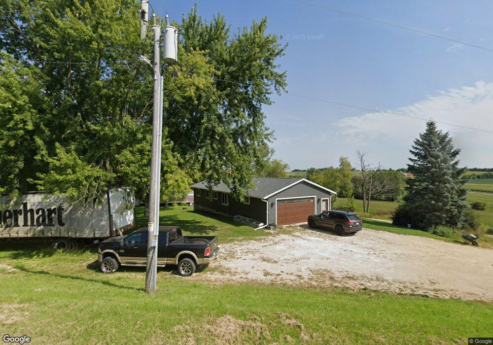
W3906 Davidson Rd Watertown, WI 53098
Estimated Value: $388,000 - $703,858
--
Bed
--
Bath
--
Sq Ft
38.71
Acres
About This Home
This home is located at W3906 Davidson Rd, Watertown, WI 53098 and is currently estimated at $545,929. W3906 Davidson Rd is a home located in Dodge County with nearby schools including John Hustis Elementary School and Hustisford High School.
Ownership History
Date
Name
Owned For
Owner Type
Purchase Details
Closed on
Jul 13, 2018
Sold by
Stark Harold W and Stark Debra J
Bought by
Stark Michael A and Stark Tiffany M
Current Estimated Value
Home Financials for this Owner
Home Financials are based on the most recent Mortgage that was taken out on this home.
Original Mortgage
$126,000
Outstanding Balance
$109,198
Interest Rate
4.5%
Mortgage Type
New Conventional
Estimated Equity
$436,731
Create a Home Valuation Report for This Property
The Home Valuation Report is an in-depth analysis detailing your home's value as well as a comparison with similar homes in the area
Home Values in the Area
Average Home Value in this Area
Purchase History
| Date | Buyer | Sale Price | Title Company |
|---|---|---|---|
| Stark Michael A | $230,000 | Guaranty Title Services Inc |
Source: Public Records
Mortgage History
| Date | Status | Borrower | Loan Amount |
|---|---|---|---|
| Open | Stark Michael A | $126,000 |
Source: Public Records
Tax History Compared to Growth
Tax History
| Year | Tax Paid | Tax Assessment Tax Assessment Total Assessment is a certain percentage of the fair market value that is determined by local assessors to be the total taxable value of land and additions on the property. | Land | Improvement |
|---|---|---|---|---|
| 2024 | $3,241 | $288,100 | $119,900 | $168,200 |
| 2023 | $2,996 | $205,500 | $86,200 | $119,300 |
| 2022 | $2,917 | $205,200 | $85,900 | $119,300 |
| 2021 | $3,031 | $205,200 | $85,900 | $119,300 |
| 2020 | $3,444 | $194,300 | $79,200 | $115,100 |
| 2019 | $3,161 | $193,800 | $78,700 | $115,100 |
| 2018 | $3,123 | $193,800 | $78,700 | $115,100 |
| 2017 | $3,382 | $178,800 | $77,500 | $101,300 |
| 2016 | $3,451 | $178,800 | $77,500 | $101,300 |
| 2015 | $3,382 | $178,800 | $77,500 | $101,300 |
| 2014 | $3,429 | $178,800 | $77,500 | $101,300 |
Source: Public Records
Map
Nearby Homes
- 000 Lt0 Sleepy Hollow Rd
- Lot 2 Sleepy Hollow
- W2824 Fox Rd
- N3220 Hale Rd
- W2951 Monroe Rd
- Lt1 Wisconsin 67
- 222 E Lehman St
- 441 Sandy Ln
- 244 S Ridge St
- 252 S Hustis St
- .68 Acre Parcel Anthony Island
- Lt1-3 N Crawfish Rd
- N999 Winds Way
- W2427 Mariah Ln
- W2426 Mariah Ln
- N979 Winds Way
- N921 Winds Way
- N909 Winds Way
- W2371 Gabriel Ct
- 727 E Lakeview Rd Unit 8
- W3911 Davidson Rd
- W3797 Davidson Rd
- N2404 Poplar Grove Rd
- N2480 Poplar Grove Rd
- N2460 Poplar Grove Rd
- W3801 Davidson Rd
- N2443 Poplar Grove Rd
- 80 Ac Davidson Rd
- W3642 Davidson Rd
- W3637 Davidson Rd
- W4189 Davidson Rd
- W3612 Davidson Rd
- N2051 Poplar Grove Rd
- W4212 Davidson Rd
- N1996 Poplar Grove Rd
- N1996 Poplar Grove Rd
- N2625 River View Rd
- N1948 Poplar Grove Rd
- W3898 County Road Mm