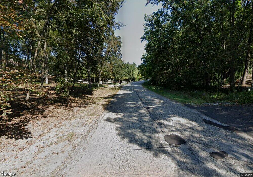
W4122 Shore Ridge Dr Lake Geneva, WI 53147
Estimated Value: $840,000 - $937,748
--
Bed
--
Bath
--
Sq Ft
0.93
Acres
About This Home
This home is located at W4122 Shore Ridge Dr, Lake Geneva, WI 53147 and is currently estimated at $875,437. W4122 Shore Ridge Dr is a home with nearby schools including Reek Elementary School and Big Foot High School.
Ownership History
Date
Name
Owned For
Owner Type
Purchase Details
Closed on
Mar 17, 2025
Sold by
Reuss George M and Kawalec Johnalee A
Bought by
Mccarthy Amy
Current Estimated Value
Home Financials for this Owner
Home Financials are based on the most recent Mortgage that was taken out on this home.
Original Mortgage
$595,000
Outstanding Balance
$591,966
Interest Rate
6.89%
Mortgage Type
New Conventional
Estimated Equity
$283,471
Purchase Details
Closed on
Feb 26, 2021
Sold by
Rasmussen David and Carlson Jill
Bought by
Reuss George M and Kawalec Johnalee A
Home Financials for this Owner
Home Financials are based on the most recent Mortgage that was taken out on this home.
Original Mortgage
$440,000
Interest Rate
2.7%
Mortgage Type
New Conventional
Purchase Details
Closed on
Mar 7, 2018
Sold by
Maple Ridge Ii Llc
Bought by
Rasmussen David and Carlson Jill
Create a Home Valuation Report for This Property
The Home Valuation Report is an in-depth analysis detailing your home's value as well as a comparison with similar homes in the area
Home Values in the Area
Average Home Value in this Area
Purchase History
| Date | Buyer | Sale Price | Title Company |
|---|---|---|---|
| Mccarthy Amy | $850,000 | None Listed On Document | |
| Reuss George M | $610,000 | None Available | |
| Rasmussen David | $54,000 | None Available |
Source: Public Records
Mortgage History
| Date | Status | Borrower | Loan Amount |
|---|---|---|---|
| Open | Mccarthy Amy | $595,000 | |
| Previous Owner | Reuss George M | $440,000 |
Source: Public Records
Tax History Compared to Growth
Tax History
| Year | Tax Paid | Tax Assessment Tax Assessment Total Assessment is a certain percentage of the fair market value that is determined by local assessors to be the total taxable value of land and additions on the property. | Land | Improvement |
|---|---|---|---|---|
| 2024 | $6,857 | $926,500 | $121,400 | $805,100 |
| 2023 | $5,523 | $478,600 | $48,300 | $430,300 |
| 2022 | $5,559 | $478,600 | $48,300 | $430,300 |
| 2021 | $5,326 | $478,600 | $48,300 | $430,300 |
| 2020 | $5,202 | $478,600 | $48,300 | $430,300 |
| 2019 | $4,869 | $469,600 | $48,300 | $421,300 |
| 2018 | $636 | $39,000 | $39,000 | $0 |
| 2017 | $460 | $39,000 | $39,000 | $0 |
| 2016 | $455 | $39,000 | $39,000 | $0 |
| 2015 | $443 | $39,000 | $39,000 | $0 |
| 2014 | $472 | $39,000 | $39,000 | $0 |
| 2013 | $472 | $39,000 | $39,000 | $0 |
Source: Public Records
Map
Nearby Homes
- Lt15-17 Old Farm Rd
- N1814 Highland Rd
- W3769 Parker Dr
- N1542 N Creekside Ln
- 1572 N Creekside Ln
- N1931 Linn Rd
- N1933 Bluff Ln
- W4649 Hillcrest Dr
- W4724 S Lake Shore Dr
- N1524 Oak Shores Ln
- Lt1 Sunnyside Ave
- N1802 Wildwood Dr
- 403 Deerpath W Unit F
- 404 Deerpath W Unit D
- Lt45-46 Maple St
- N1762 Hillside Rd
- W3740 Eastman St
- W3314 Burr Oak Dr
- N561 Pleasant St
- N2297 W Main Rd
- W4122 Rd
- W4128 Shore Ridge Dr
- Lt12 Shoreridge Dr Unit Lt12
- W4112 Shore Ridge Dr
- W4109 Shore Ridge Dr
- N1410 Meadow Ridge Ln
- Lt13 Shore Ridge Cr
- N1382 Meadow Ridge Ln
- N1397 Meadow Ridge Ln
- Lt22 Meadow Ridge Ln
- N1449 Maple Ridge Rd
- N1370 Overland Ln
- N1383 Meadow Ridge Ln
- N1344 Overland Ln
- N1330 Overland Ln
- N1330 Overland Ln Unit N1330
- Lt7 Maple Ridge Ln
- N1379 Meadow Ridge Ln
- N1379 Meadow Ridge Ln Unit N1379
- N1458 Meadow Ridge Ln
