W4231 Us Highway 14 61 La Crosse, WI 54601
Estimated Value: $523,000 - $646,311
--
Bed
--
Bath
--
Sq Ft
5.45
Acres
About This Home
This home is located at W4231 Us Highway 14 61, La Crosse, WI 54601 and is currently estimated at $575,328. W4231 Us Highway 14 61 is a home with nearby schools including Spence Elementary School, Longfellow Middle School, and Central High School.
Ownership History
Date
Name
Owned For
Owner Type
Purchase Details
Closed on
Apr 12, 2021
Sold by
Kessler Joseph
Bought by
Kessler Joseph and Kessler Carly Mae
Current Estimated Value
Purchase Details
Closed on
Nov 14, 2016
Sold by
Temple John Peter and Temple Joan E
Bought by
Kessler Joseph
Home Financials for this Owner
Home Financials are based on the most recent Mortgage that was taken out on this home.
Original Mortgage
$335,559
Outstanding Balance
$269,396
Interest Rate
3.42%
Mortgage Type
New Conventional
Estimated Equity
$305,932
Purchase Details
Closed on
Jul 21, 2005
Sold by
Temple John Peter and Temple Joan E
Bought by
State Of Winsonsin Department Of Transpo
Create a Home Valuation Report for This Property
The Home Valuation Report is an in-depth analysis detailing your home's value as well as a comparison with similar homes in the area
Home Values in the Area
Average Home Value in this Area
Purchase History
| Date | Buyer | Sale Price | Title Company |
|---|---|---|---|
| Kessler Joseph | -- | None Available | |
| Kessler Joseph | $348,000 | -- | |
| State Of Winsonsin Department Of Transpo | -- | None Available |
Source: Public Records
Mortgage History
| Date | Status | Borrower | Loan Amount |
|---|---|---|---|
| Open | Kessler Joseph | $335,559 |
Source: Public Records
Tax History Compared to Growth
Tax History
| Year | Tax Paid | Tax Assessment Tax Assessment Total Assessment is a certain percentage of the fair market value that is determined by local assessors to be the total taxable value of land and additions on the property. | Land | Improvement |
|---|---|---|---|---|
| 2023 | $6,769 | $456,300 | $60,800 | $395,500 |
| 2022 | $6,087 | $456,300 | $60,800 | $395,500 |
| 2021 | $6,390 | $456,300 | $60,800 | $395,500 |
| 2020 | $7,319 | $366,200 | $41,800 | $324,400 |
| 2019 | $7,143 | $366,200 | $41,800 | $324,400 |
| 2018 | $7,133 | $366,200 | $41,800 | $324,400 |
| 2017 | $6,825 | $366,200 | $41,800 | $324,400 |
| 2016 | $7,399 | $366,200 | $41,800 | $324,400 |
| 2015 | $7,115 | $366,200 | $41,800 | $324,400 |
| 2014 | $6,881 | $366,200 | $41,800 | $324,400 |
| 2013 | $7,533 | $366,200 | $41,800 | $324,400 |
Source: Public Records
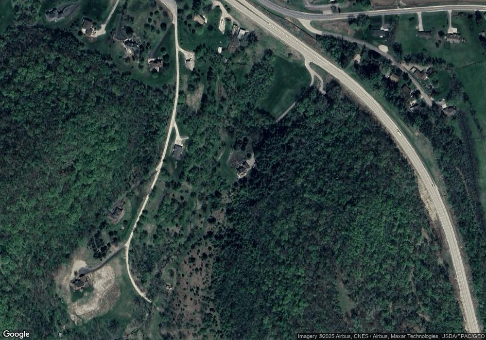
Map
Nearby Homes
- N1947 Forest Ridge Dr
- W4936 Battlestone Station Rd
- N2031 County Road F -
- W4946 Battlestone Station Rd Unit 23
- W4952 Battlestone Station Rd Unit 25
- N1394 Red Oaks Dr
- W5419 Pine Bluff Rd
- N2015 Stonecrest Rd
- 000 Us Highway 14 61 -
- W5453 Pine Bluff Rd
- W4945 Harvest Ln
- W4934 Mill St
- W4861 Harvest Ln
- W5522 Eagle Point Dr
- W4844 State Road 33
- N1110 Bloomer Mill Rd
- N1583 Meadow Ridge Rd
- N2194 Valley Rd
- 0 County Road Fa Unit 1932828
- 3421 Greenbriar Ct
- W4775 Deerview Dr
- W4778 Deerview Dr
- N1889 Forest Ridge Dr
- N1915 Forest Ridge Dr
- W4786 Deerview Dr
- N1901 Forest Ridge Dr
- N1946 Forest Ridge Dr
- N1930 Forest Ridge Dr
- N1900 Forest Ridge Dr
- N1988 Forest Ridge Dr
- N1861 Forest Ridge Dr
- N1874 Forest Ridge Dr
- W4814 State Road 33
- W4844 Wisconsin 33
- W4911 Battlestone Station Rd
- W4911 Battlestone Station Rd Unit W4911
- W4915 Battlestone Station Rd
- N1829 Forest Ridge Dr
- W4917 Battlestone Station Rd
- W4921 Battlestone Station Rd