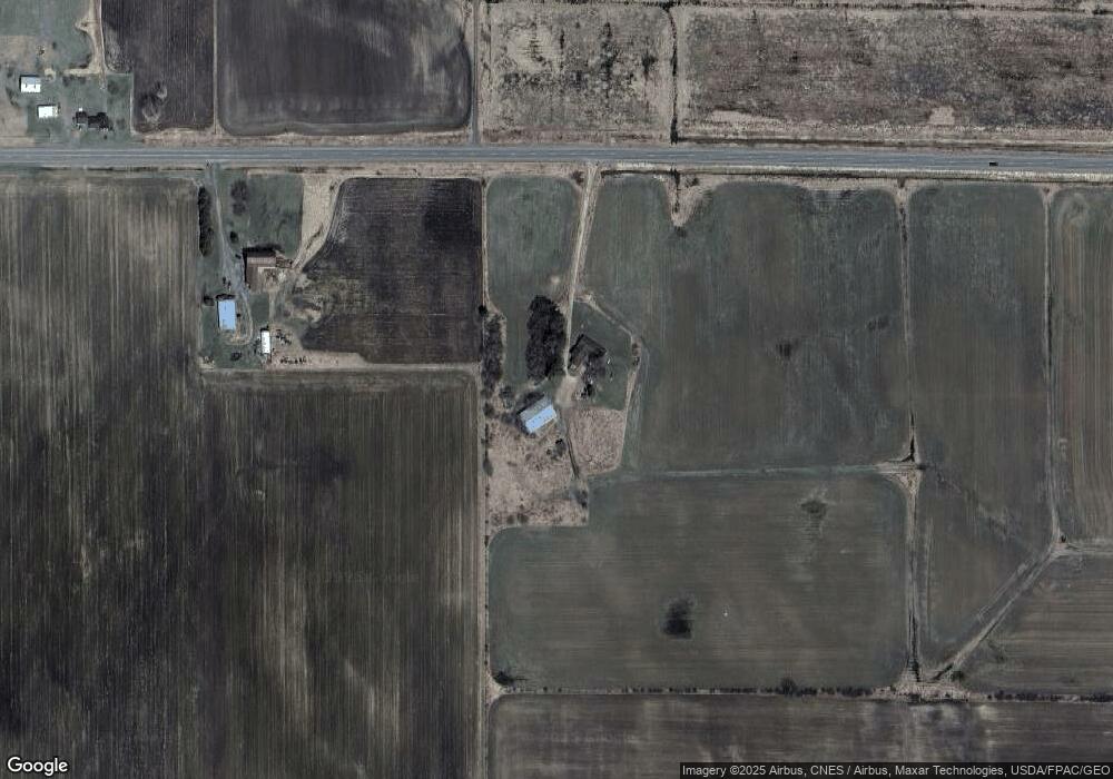
W4285 State Highway 73 Neillsville, WI 54456
Estimated Value: $336,690 - $400,000
6
Beds
--
Bath
3,000
Sq Ft
$126/Sq Ft
Est. Value
About This Home
This home is located at W4285 State Highway 73, Neillsville, WI 54456 and is currently estimated at $378,897, approximately $126 per square foot. W4285 State Highway 73 is a home located in Clark County with nearby schools including Neillsville Elementary School, Neillsville Middle School, and Neillsville Middle/High School.
Ownership History
Date
Name
Owned For
Owner Type
Purchase Details
Closed on
Feb 5, 2010
Sold by
Boon Duane L and Mathis Stacy L
Bought by
Gerhardt Marty P and Gerhardt Amy L
Current Estimated Value
Purchase Details
Closed on
Feb 26, 2009
Sold by
Clark County Sheriff
Bought by
M And I Marshall And Ilsley Bank
Create a Home Valuation Report for This Property
The Home Valuation Report is an in-depth analysis detailing your home's value as well as a comparison with similar homes in the area
Home Values in the Area
Average Home Value in this Area
Purchase History
| Date | Buyer | Sale Price | Title Company |
|---|---|---|---|
| Gerhardt Marty P | $135,000 | Clark County Abstract | |
| M And I Marshall And Ilsley Bank | $197,356 | -- |
Source: Public Records
Tax History Compared to Growth
Tax History
| Year | Tax Paid | Tax Assessment Tax Assessment Total Assessment is a certain percentage of the fair market value that is determined by local assessors to be the total taxable value of land and additions on the property. | Land | Improvement |
|---|---|---|---|---|
| 2024 | $3,895 | $208,800 | $9,300 | $199,500 |
| 2023 | $3,311 | $208,800 | $9,300 | $199,500 |
| 2022 | $2,931 | $208,800 | $9,300 | $199,500 |
| 2021 | $3,185 | $208,800 | $9,300 | $199,500 |
| 2020 | $2,909 | $149,400 | $7,100 | $142,300 |
| 2019 | $2,886 | $149,500 | $7,200 | $142,300 |
| 2018 | $2,825 | $149,500 | $7,200 | $142,300 |
| 2017 | $136 | $149,500 | $7,200 | $142,300 |
| 2016 | $2,657 | $149,500 | $7,200 | $142,300 |
| 2015 | -- | $149,500 | $7,200 | $142,300 |
| 2014 | -- | $149,600 | $7,300 | $142,300 |
| 2013 | -- | $149,600 | $7,300 | $142,300 |
| 2011 | -- | $149,600 | $7,300 | $142,300 |
Source: Public Records
Map
Nearby Homes
- N1649 Miller Ave
- 0 Sherwood Rd Unit 1596282
- N2289 Pelsdorf Ave
- 81 Acres Anderson Rd
- W4662 Anderson Rd
- 000 Robin Ave
- Lt1 Robin Ave
- 2866 Wisconsin 73
- W2930 Sand Rd
- N1057 Borglin Ave
- N3123 Wisconsin 73
- 1000 Sand Ln
- Lot 3 Lucille Ln
- 0 Vietnam War Veterans Memorial Hwy
- 2 Hewett St
- 10 Hewett St
- 105 Court St
- 117 Hewett St
- 0 Maple Rd Unit 22550672
- 611 Willow St
- W4308 W4308 Hwy 73
- N1803 Miller Ave
- W4350 State Highway 73
- W4380 State Highway 73
- W4308 Wisconsin 73
- 4350 Highway 73
- W4427 State Highway 73
- N1971 Miller Ave
- N2051 Miller Ave
- W4121 State Highway 73
- N2083 Miller Ave
- W4109 State Highway 73
- N2168 Cardinal Ave
- N2011 Miller Ave
- N2084 Miller Ave
- N1955 Miller Ave
- N1971 N1971 Miller Ave
- N2091 Cardinal Ave
- N2146 Miller Ave
- N1956 Miller Ave
