W4347 Strange Rd Iron Ridge, WI 53035
Estimated Value: $279,000 - $393,000
--
Bed
--
Bath
--
Sq Ft
9,670
Sq Ft Lot
About This Home
This home is located at W4347 Strange Rd, Iron Ridge, WI 53035 and is currently estimated at $322,556. W4347 Strange Rd is a home located in Dodge County with nearby schools including John Hustis Elementary School and Hustisford High School.
Ownership History
Date
Name
Owned For
Owner Type
Purchase Details
Closed on
Oct 15, 2007
Sold by
Dodge Country Real Estate Llc
Bought by
Volle Gary and Volle Dawn
Current Estimated Value
Home Financials for this Owner
Home Financials are based on the most recent Mortgage that was taken out on this home.
Original Mortgage
$152,000
Interest Rate
6.5%
Mortgage Type
New Conventional
Purchase Details
Closed on
Jun 14, 2006
Sold by
Lukowitz Arthur A and Lukowitz Audrey T
Bought by
Dodge County Real Estate Llc
Home Financials for this Owner
Home Financials are based on the most recent Mortgage that was taken out on this home.
Original Mortgage
$124,000
Interest Rate
6.68%
Mortgage Type
Future Advance Clause Open End Mortgage
Create a Home Valuation Report for This Property
The Home Valuation Report is an in-depth analysis detailing your home's value as well as a comparison with similar homes in the area
Home Values in the Area
Average Home Value in this Area
Purchase History
| Date | Buyer | Sale Price | Title Company |
|---|---|---|---|
| Volle Gary | $19,000 | None Available | |
| Dodge County Real Estate Llc | $117,000 | -- |
Source: Public Records
Mortgage History
| Date | Status | Borrower | Loan Amount |
|---|---|---|---|
| Previous Owner | Volle Gary | $152,000 | |
| Previous Owner | Dodge County Real Estate Llc | $124,000 |
Source: Public Records
Tax History Compared to Growth
Tax History
| Year | Tax Paid | Tax Assessment Tax Assessment Total Assessment is a certain percentage of the fair market value that is determined by local assessors to be the total taxable value of land and additions on the property. | Land | Improvement |
|---|---|---|---|---|
| 2024 | $2,135 | $135,400 | $50,900 | $84,500 |
| 2023 | $2,023 | $135,400 | $50,900 | $84,500 |
| 2022 | $1,948 | $135,400 | $50,900 | $84,500 |
| 2021 | $2,143 | $135,400 | $50,900 | $84,500 |
| 2020 | $2,269 | $135,400 | $50,900 | $84,500 |
| 2019 | $2,076 | $135,400 | $50,900 | $84,500 |
| 2018 | $2,013 | $135,400 | $50,900 | $84,500 |
| 2017 | $2,136 | $135,400 | $50,900 | $84,500 |
| 2016 | $2,224 | $135,400 | $50,900 | $84,500 |
| 2015 | $2,105 | $135,400 | $50,900 | $84,500 |
| 2014 | $2,113 | $135,400 | $50,900 | $84,500 |
Source: Public Records
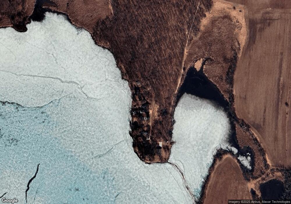
Map
Nearby Homes
- Lt38 Sinissippi Point Rd
- N4973 Lake Dr
- N4690 Lake Dr
- Lt1 W Horseshoe Rd
- N4554 Lakeview Rd
- N4569 Hazelwood Rd
- N4510 Anthony Island -
- N4510 & N4504 Anthony Island
- N4557 Lakeview Rd
- N6436 County Road Tw
- W4436 E Lakeview Rd
- 827 E Lakeview Rd
- 727 E Lakeview Rd Unit 8
- N4550 County Road Dj
- .68 Acre Parcel Anthony Island
- 252 S Hustis St
- 244 S Ridge St
- 441 Sandy Ln
- 300 Birchcrest Rd
- 0 Burkwald Ave
- W4343 Strange Rd
- W4357 Strange Rd
- W4323 Strange Rd
- w 4319 Strange Rd
- 4319 W Strange Road West Rd W
- W4309 Strange Rd
- W4313 Strange Rd
- W4221 Strange Rd
- N5700 E Horseshoe Rd
- N5267 Wildcat Rd
- W4100 Leopold Dr
- N5261 Wildcat Rd
- N5178 Butternut Ct
- N5255 Wildcat Rd
- N5270 Wildcat Rd
- 5249 Wildcat Rd
- N5249 Wildcat Rd
- N5174 Butternut Ct
- N5243 Wildcat Rd
- W4137 Wildcat Rd