W4373 210th Ave Maiden Rock, WI 54750
Estimated Value: $161,307
--
Bed
--
Bath
--
Sq Ft
20.02
Acres
About This Home
This home is located at W4373 210th Ave, Maiden Rock, WI 54750 and is currently estimated at $161,307. W4373 210th Ave is a home located in Pierce County with nearby schools including Ellsworth High School.
Ownership History
Date
Name
Owned For
Owner Type
Purchase Details
Closed on
Feb 21, 2019
Sold by
Olson Trust
Bought by
Fitzgerald Excavating & Trucking Inc
Current Estimated Value
Purchase Details
Closed on
Jan 19, 2018
Sold by
Trt Olson
Bought by
Johnson Nicholas K
Home Financials for this Owner
Home Financials are based on the most recent Mortgage that was taken out on this home.
Original Mortgage
$71,200
Interest Rate
3.93%
Mortgage Type
New Conventional
Create a Home Valuation Report for This Property
The Home Valuation Report is an in-depth analysis detailing your home's value as well as a comparison with similar homes in the area
Home Values in the Area
Average Home Value in this Area
Purchase History
| Date | Buyer | Sale Price | Title Company |
|---|---|---|---|
| Fitzgerald Excavating & Trucking Inc | $680,000 | Knight Barry Title | |
| Johnson Nicholas K | $89,900 | Pierce County Abstract & Tit |
Source: Public Records
Mortgage History
| Date | Status | Borrower | Loan Amount |
|---|---|---|---|
| Previous Owner | Johnson Nicholas K | $71,200 |
Source: Public Records
Tax History Compared to Growth
Tax History
| Year | Tax Paid | Tax Assessment Tax Assessment Total Assessment is a certain percentage of the fair market value that is determined by local assessors to be the total taxable value of land and additions on the property. | Land | Improvement |
|---|---|---|---|---|
| 2024 | $2,863 | $107,500 | $14,400 | $93,100 |
| 2023 | $2,707 | $107,600 | $14,500 | $93,100 |
| 2022 | $2,313 | $107,600 | $14,500 | $93,100 |
| 2021 | $2,274 | $107,800 | $14,700 | $93,100 |
| 2020 | $2,341 | $107,800 | $14,700 | $93,100 |
| 2019 | $2,370 | $109,800 | $15,300 | $94,500 |
| 2018 | $2,384 | $112,600 | $18,100 | $94,500 |
| 2017 | $2,391 | $112,600 | $18,100 | $94,500 |
| 2016 | $2,354 | $112,600 | $18,100 | $94,500 |
| 2015 | $2,196 | $112,600 | $18,100 | $94,500 |
| 2014 | $2,115 | $112,600 | $18,100 | $94,500 |
| 2013 | $2,215 | $112,600 | $18,100 | $94,500 |
Source: Public Records
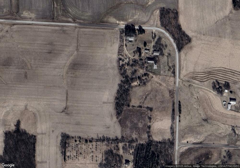
Map
Nearby Homes
- N1024 385th St
- TBD 310th St
- W5838 County Road Ee
- 0 Xxx 590th St
- XXX 590th
- W3527 2nd St
- W3410 State Road 35
- W7221 155th Ave
- TBD County Trunk Highway Aa
- 28589 Lake Avenue Way
- 29923 Lakeview Ave
- 28983 320th Avenue Way
- 29178 Westervelt Avenue Way W
- N33XX W Bluff Rd N
- 29430 Lake Avenue Way
- W1810 County Road Cc
- N5044 430th St
- 28413 Kaffitz Rd
- 27021 River View Ct
- 27055 River View Ct
- W4373 210th Ave
- N2041 430th St
- N2064 430th St
- W4138 210th Ave
- 2365 410th St Cabin St
- N2332 450th St
- N1963 430th St
- N2319 County Road A
- N2053 450th St
- N2053 450th St
- N2319 County Rd H
- N2298 County Road A
- N2367 410 St
- 0 450th St
- N2122 Hwy A
- N1951 450th St
- N1783 450th St
- N2122 County Road A
- n 2122 County Road A
- N1965 450th St