Estimated Value: $317,000 - $436,000
4
Beds
--
Bath
2,603
Sq Ft
$142/Sq Ft
Est. Value
About This Home
This home is located at W460 Mill Rd, Unity, WI 54488 and is currently estimated at $370,747, approximately $142 per square foot. W460 Mill Rd is a home located in Clark County with nearby schools including Colby Elementary School, Colby Middle School, and Colby High School.
Ownership History
Date
Name
Owned For
Owner Type
Purchase Details
Closed on
Mar 15, 2024
Sold by
Reis Andrew D
Bought by
Burkholder John W and Burkholder Anne I
Current Estimated Value
Purchase Details
Closed on
Apr 11, 2023
Sold by
Reis Andrew D
Bought by
Reis Andrew D and Reis Stephanie Jo
Purchase Details
Closed on
May 10, 2010
Sold by
Hewitt Robert E and Hewitt Jean L
Bought by
Reis Andrew D and Reis Colleen S
Create a Home Valuation Report for This Property
The Home Valuation Report is an in-depth analysis detailing your home's value as well as a comparison with similar homes in the area
Purchase History
| Date | Buyer | Sale Price | Title Company |
|---|---|---|---|
| Burkholder John W | -- | None Listed On Document | |
| Reis Andrew D | -- | None Listed On Document | |
| Reis Andrew D | $147,500 | -- |
Source: Public Records
Tax History
| Year | Tax Paid | Tax Assessment Tax Assessment Total Assessment is a certain percentage of the fair market value that is determined by local assessors to be the total taxable value of land and additions on the property. | Land | Improvement |
|---|---|---|---|---|
| 2025 | $4,227 | $206,000 | $16,600 | $189,400 |
| 2024 | $3,858 | $206,000 | $16,600 | $189,400 |
| 2023 | $3,120 | $206,000 | $16,600 | $189,400 |
| 2022 | $3,045 | $206,000 | $16,600 | $189,400 |
| 2021 | $2,673 | $139,200 | $10,100 | $129,100 |
| 2020 | $2,813 | $139,200 | $10,100 | $129,100 |
| 2019 | $2,664 | $139,200 | $10,100 | $129,100 |
| 2018 | $2,646 | $139,200 | $10,100 | $129,100 |
| 2017 | $202 | $139,200 | $10,100 | $129,100 |
| 2016 | $2,535 | $139,200 | $10,100 | $129,100 |
| 2015 | -- | $139,200 | $10,100 | $129,100 |
| 2014 | -- | $139,200 | $10,100 | $129,100 |
| 2013 | -- | $139,200 | $10,100 | $129,100 |
| 2011 | -- | $139,200 | $10,100 | $129,100 |
Source: Public Records
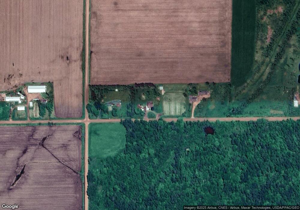
Map
Nearby Homes
- 411 S Main St
- 151 S Madison St
- 310 W Clark St
- 181 S Russell St
- N10409 Hiline Ave
- 101790 Buxton Rd
- 0000 S Division St
- 216 S 4th St
- 201 N 3rd St
- Ooo County Rd F
- 303 E Adams St
- 609 N 2nd St
- 208 W Clark St
- 815 W Roberts St
- 305 W Roberts St
- 205 W Roberts St
- 605 E Maple St
- 0 201 W Dove St Unit 22505694
- 803 E Birch St
- Lot 4 and 5 Fairhaven Ave
- W494 Mill Rd
- W426 Mill Rd
- N11614 Hi Line Ave
- W358 Mill Rd
- B4691 Wigan Ave
- N131 Madison St
- N11656 Hi Line Ave
- N11402 Hi Line Ave
- W305 Mill Rd
- W283 Mill Rd
- W388 Kington Rd
- N11363 Hi Line Ave
- W412 Kington Rd
- W259 Mill Rd
- W389 Kington Rd
- W342 Kington Rd
- N11279 Hi Line Ave
- W304 Kington Rd
- W205 Mill Rd
- 85 Acres M Century Rd
Your Personal Tour Guide
Ask me questions while you tour the home.