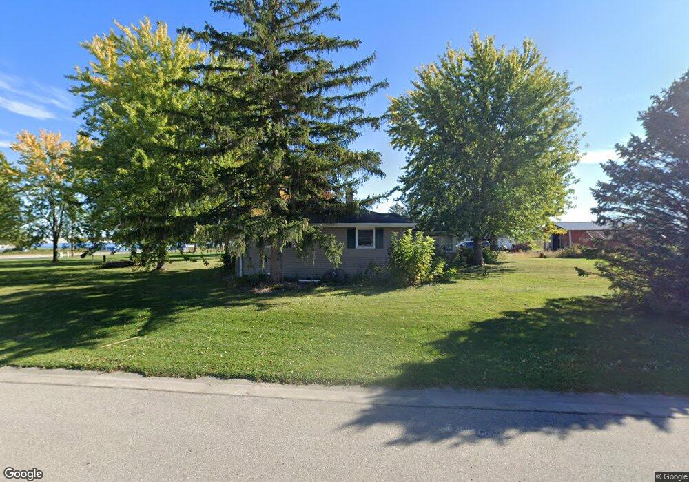
W4647 County Road Kk Kaukauna, WI 54130
Estimated Value: $282,000 - $394,000
3
Beds
2
Baths
1,896
Sq Ft
$184/Sq Ft
Est. Value
About This Home
This home is located at W4647 County Road Kk, Kaukauna, WI 54130 and is currently estimated at $348,656, approximately $183 per square foot. W4647 County Road Kk is a home with nearby schools including River View School, Kaukauna High School, and New Directions Learning Community.
Ownership History
Date
Name
Owned For
Owner Type
Purchase Details
Closed on
Jan 6, 2017
Sold by
Doolittle Daniel E and Doolittle Amy M
Bought by
Gapp Jeremy and Gapp Emily
Current Estimated Value
Home Financials for this Owner
Home Financials are based on the most recent Mortgage that was taken out on this home.
Original Mortgage
$180,405
Outstanding Balance
$148,713
Interest Rate
4.13%
Mortgage Type
New Conventional
Estimated Equity
$199,943
Purchase Details
Closed on
Feb 9, 2015
Sold by
Cobble Creek Llc
Bought by
Frederickson Eugene M and Frederickson Joyce A
Create a Home Valuation Report for This Property
The Home Valuation Report is an in-depth analysis detailing your home's value as well as a comparison with similar homes in the area
Home Values in the Area
Average Home Value in this Area
Purchase History
| Date | Buyer | Sale Price | Title Company |
|---|---|---|---|
| Gapp Jeremy | $189,900 | -- | |
| Frederickson Eugene M | -- | -- |
Source: Public Records
Mortgage History
| Date | Status | Borrower | Loan Amount |
|---|---|---|---|
| Open | Gapp Jeremy | $180,405 |
Source: Public Records
Tax History Compared to Growth
Tax History
| Year | Tax Paid | Tax Assessment Tax Assessment Total Assessment is a certain percentage of the fair market value that is determined by local assessors to be the total taxable value of land and additions on the property. | Land | Improvement |
|---|---|---|---|---|
| 2024 | $3,748 | $199,400 | $26,100 | $173,300 |
| 2023 | $3,420 | $199,400 | $26,100 | $173,300 |
| 2022 | $3,233 | $199,400 | $26,100 | $173,300 |
| 2021 | $3,213 | $199,400 | $26,100 | $173,300 |
| 2020 | $3,656 | $199,400 | $26,100 | $173,300 |
| 2019 | $3,495 | $199,400 | $26,100 | $173,300 |
| 2018 | $3,641 | $181,400 | $17,500 | $163,900 |
| 2017 | $3,410 | $181,400 | $17,500 | $163,900 |
| 2016 | $3,328 | $181,400 | $17,500 | $163,900 |
| 2015 | $3,271 | $181,400 | $17,500 | $163,900 |
Source: Public Records
Map
Nearby Homes
- N176 Debruin Rd
- 3005 Crooks Ave
- 3351 Gray Squirrel Ln
- 2071 White Dove Ln
- 2050 White Dove Ln
- 1900 White Wolf Ln
- 2017 Red Fox Ln
- 2045 Red Fox Ln
- 2027 Red Fox Ln
- 2021 Red Fox Ln
- 2051 Red Fox Ln
- 2031 Red Fox Ln
- 2030 Red Fox Ln
- 2034 Red Fox Ln
- 2014 White Dove Ln
- 2010 White Dove Ln
- 2040 White Dove Ln
- 2018 White Dove Ln
- 2200 Sullivan Ave
- 406 E 20th St
- W4643 County Road Kk
- N9685 Biese Rd
- N9663 Biese Rd
- N9667 Biese Rd
- W4689 County Road Kk
- W4693 County Road Kk
- N126 State Highway 55
- N126 State Highway 55
- N126 State Highway 55
- N9649 Biese Rd
- N9648 Biese Rd
- N197 Speedway Ln
- N9630 Biese Rd
- N9631 Biese Rd
- W4674 Dallas Dr
- N159 Speedway Ln
- 177 Speedway Ln
- N9609 Biese Rd
- W4663 Dallas Dr
- W4677 Dallas Dr