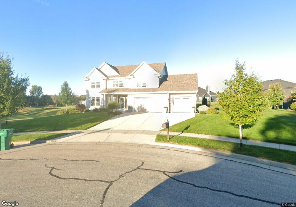
W47N803 Bobolink Ave Cedarburg, WI 53012
Estimated Value: $694,000 - $761,000
--
Bed
--
Bath
--
Sq Ft
0.29
Acres
About This Home
This home is located at W47N803 Bobolink Ave, Cedarburg, WI 53012 and is currently estimated at $726,857. W47N803 Bobolink Ave is a home with nearby schools including Cedarburg High School, St Francis Borgia Catholic School, and St Paul Lutheran School.
Ownership History
Date
Name
Owned For
Owner Type
Purchase Details
Closed on
Apr 29, 2020
Sold by
Mk S Ep Llc
Bought by
Schultz Scott S and Schelwat Lynne
Current Estimated Value
Home Financials for this Owner
Home Financials are based on the most recent Mortgage that was taken out on this home.
Original Mortgage
$304,900
Outstanding Balance
$271,190
Interest Rate
3.5%
Mortgage Type
New Conventional
Estimated Equity
$455,667
Purchase Details
Closed on
Dec 5, 2016
Sold by
Kl Pine Llc
Bought by
Mk S Ep Llc
Create a Home Valuation Report for This Property
The Home Valuation Report is an in-depth analysis detailing your home's value as well as a comparison with similar homes in the area
Home Values in the Area
Average Home Value in this Area
Purchase History
| Date | Buyer | Sale Price | Title Company |
|---|---|---|---|
| Schultz Scott S | $499,900 | Members Title | |
| Mk S Ep Llc | $180,000 | -- |
Source: Public Records
Mortgage History
| Date | Status | Borrower | Loan Amount |
|---|---|---|---|
| Open | Schultz Scott S | $304,900 |
Source: Public Records
Tax History Compared to Growth
Tax History
| Year | Tax Paid | Tax Assessment Tax Assessment Total Assessment is a certain percentage of the fair market value that is determined by local assessors to be the total taxable value of land and additions on the property. | Land | Improvement |
|---|---|---|---|---|
| 2024 | $8,970 | $600,200 | $112,000 | $488,200 |
| 2023 | $8,530 | $600,200 | $112,000 | $488,200 |
| 2022 | $8,297 | $600,200 | $112,000 | $488,200 |
| 2021 | $7,692 | $420,500 | $101,800 | $318,700 |
| 2020 | $5,918 | $308,800 | $101,800 | $207,000 |
| 2019 | $1,947 | $101,800 | $101,800 | $0 |
| 2018 | $1,911 | $101,800 | $101,800 | $0 |
| 2017 | $1,870 | $101,800 | $101,800 | $0 |
| 2016 | $1,919 | $101,800 | $101,800 | $0 |
Source: Public Records
Map
Nearby Homes
- 2112 Pine Ridge Ct Unit F
- 2135 Pine Ridge Ct Unit D
- 2057 Chateau Ct
- 1891 Sumac Ct Unit B
- 331 Juniper Ct
- 171 Maple St
- 1743 Wisconsin Ave
- 1311 Dove Ln
- 329 W Bridge St
- Lt2 Columbia Rd
- 1319 Creekside Ct
- N104W6262 Susan Ln
- 1411 6th Ave
- N105W6300 Brenton Ln
- 1855 Howard Dr
- 1090 Canary Ct
- N69W6507 Bridge Rd
- 1108 1st Ave
- 418 Washington St Unit 420
- N39W5483 Wilshire Dr
- W48N8126 Heron Ct
- W48N8128 Heron Ct
- 2043 Pine Ridge Ct Unit H
- 2043 Pine Ridge Ct Unit F
- 2043 Pine Ridge Ct Unit E
- 2043 Pine Ridge Ct Unit D
- 2043 Pine Ridge Ct Unit C
- 2043 Pine Ridge Ct Unit B
- 2043 Pine Ridge Ct Unit A
- 2034 Bobolink Ave
- 2026 Bobolink Ave
- 2002 Bobolink Ave
- 2010 Bobolink Ave
- W48N8133 Heron Ct
- 247 W Oak St
- 245 W Oak St
- N82W4856 Sandhill Trail
- 249 W Oak St
- 249 W Oak St Unit 12
- W48N8157 Heron Ct