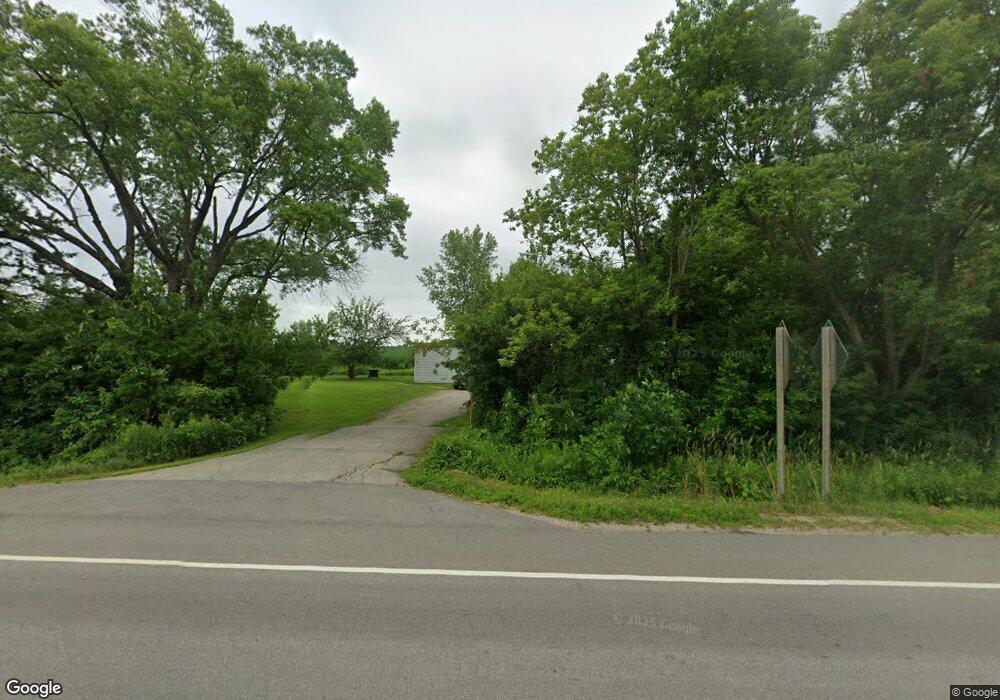
W5193 State Highway 64 Peshtigo, WI 54157
Estimated Value: $217,251 - $239,000
--
Bed
--
Bath
--
Sq Ft
2.01
Acres
About This Home
This home is located at W5193 State Highway 64, Peshtigo, WI 54157 and is currently estimated at $225,813. W5193 State Highway 64 is a home located in Marinette County with nearby schools including Peshtigo Elementary School, Peshtigo Middle School, and Peshtigo High School.
Ownership History
Date
Name
Owned For
Owner Type
Purchase Details
Closed on
Feb 21, 2024
Sold by
Englebert Perry R
Bought by
Perry R Englebert Revocable Trust Of 20
Current Estimated Value
Purchase Details
Closed on
Apr 28, 2015
Sold by
Jpmorgan Chase Bank National Association
Bought by
Englebert Perry R
Purchase Details
Closed on
Jul 2, 2014
Sold by
Dudek Justin L
Bought by
Jpmorgan Chase Bank National Association
Purchase Details
Closed on
Feb 11, 2013
Sold by
Zak Lawrence and Zak Esther
Bought by
Dudek Justin L
Create a Home Valuation Report for This Property
The Home Valuation Report is an in-depth analysis detailing your home's value as well as a comparison with similar homes in the area
Home Values in the Area
Average Home Value in this Area
Purchase History
| Date | Buyer | Sale Price | Title Company |
|---|---|---|---|
| Perry R Englebert Revocable Trust Of 20 | $114,700 | Hager, Dewick & Zuengler, S.C. | |
| Englebert Perry R | $21,000 | -- | |
| Jpmorgan Chase Bank National Association | $68,400 | -- | |
| Dudek Justin L | $60,000 | -- |
Source: Public Records
Tax History Compared to Growth
Tax History
| Year | Tax Paid | Tax Assessment Tax Assessment Total Assessment is a certain percentage of the fair market value that is determined by local assessors to be the total taxable value of land and additions on the property. | Land | Improvement |
|---|---|---|---|---|
| 2024 | $1,505 | $92,900 | $22,600 | $70,300 |
| 2023 | $1,391 | $92,900 | $22,600 | $70,300 |
| 2022 | $1,342 | $92,900 | $22,600 | $70,300 |
| 2021 | $1,165 | $92,900 | $22,600 | $70,300 |
| 2020 | $1,304 | $92,900 | $22,600 | $70,300 |
| 2019 | $1,434 | $92,900 | $22,600 | $70,300 |
| 2018 | $1,429 | $92,900 | $22,600 | $70,300 |
| 2017 | $1,417 | $92,900 | $22,600 | $70,300 |
| 2016 | $1,495 | $92,900 | $22,600 | $70,300 |
| 2015 | $1,395 | $92,900 | $22,600 | $70,300 |
| 2014 | $1,374 | $92,900 | $22,600 | $70,300 |
| 2012 | $1,338 | $92,900 | $22,600 | $70,300 |
Source: Public Records
Map
Nearby Homes
- N4294 County Rd E
- 40.48 Ac Fawn Ln
- 42.23 Ac Fawn Ln
- 67.9 Ac Fawn Ln
- 0 Hartwig Rd
- W5611 Gravelly Brook Rd
- W3834 State Highway 64
- W6370 Tower Hill Rd
- W4233 Porterfield Lake Rd
- W6887 Two Mile Rd
- N6097 Spur Rd
- N2693 Poplar Ridge Ln
- W3529 County Road B
- 510 Meadow Ln
- 745 Oconto Ave
- 0 Oconto Ave
- 780 Thompson St
- 550 Harper Ave
- N2461 Old Cedar Way
- 801 French St
- W5107 Leslie Rd
- W5238 State Highway 64
- W5080 State Highway 64
- W5076 County Road D
- N4172 Bridge Rd
- W5170 Leslie Rd
- W5089 State Highway 64
- W5302 State Highway 64
- N4199 Bridge Rd
- W5069 State Highway 64
- W5048 County Road D
- N4202 Bridge Rd
- N4201 Bridge Rd
- N4201 Bridge Rd
- W5040 County Road D
- W5365 State Highway 64
- N3952 Loucks Rd
- W5010 County Road D
- N4265 Bridge Rd
- W4981 State Highway 64