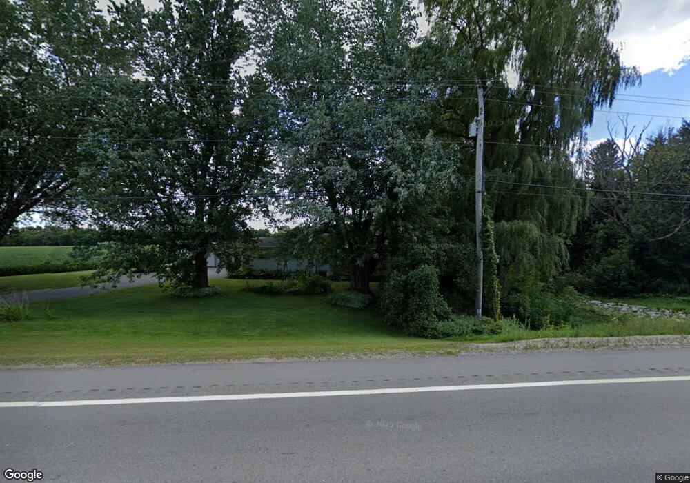
W565 State Highway 96 Kaukauna, WI 54130
Estimated Value: $274,711 - $400,000
--
Bed
--
Bath
--
Sq Ft
0.75
Acres
About This Home
This home is located at W565 State Highway 96, Kaukauna, WI 54130 and is currently estimated at $355,928. W565 State Highway 96 is a home located in Outagamie County with nearby schools including Wrightstown Elementary School, Wrightstown Middle School, and Wrightstown High School.
Ownership History
Date
Name
Owned For
Owner Type
Purchase Details
Closed on
Apr 22, 2009
Sold by
Gloss Christine M
Bought by
Benedict Norman R
Current Estimated Value
Purchase Details
Closed on
Nov 16, 2007
Sold by
Benedict Norman R
Bought by
Gloss Christine M
Purchase Details
Closed on
Oct 10, 2006
Sold by
Benedict Katherine B
Bought by
Benedict Norman R
Create a Home Valuation Report for This Property
The Home Valuation Report is an in-depth analysis detailing your home's value as well as a comparison with similar homes in the area
Home Values in the Area
Average Home Value in this Area
Purchase History
| Date | Buyer | Sale Price | Title Company |
|---|---|---|---|
| Benedict Norman R | $171,300 | -- | |
| Gloss Christine M | $75,400 | -- | |
| Benedict Norman R | $148,000 | -- |
Source: Public Records
Tax History Compared to Growth
Tax History
| Year | Tax Paid | Tax Assessment Tax Assessment Total Assessment is a certain percentage of the fair market value that is determined by local assessors to be the total taxable value of land and additions on the property. | Land | Improvement |
|---|---|---|---|---|
| 2023 | $2,124 | $196,900 | $18,000 | $178,900 |
| 2022 | $2,534 | $196,900 | $18,000 | $178,900 |
| 2021 | $2,305 | $196,900 | $18,000 | $178,900 |
| 2020 | $2,338 | $196,900 | $18,000 | $178,900 |
| 2019 | $2,141 | $154,200 | $13,500 | $140,700 |
| 2018 | $2,236 | $154,200 | $13,500 | $140,700 |
| 2017 | $2,194 | $154,200 | $13,500 | $140,700 |
| 2016 | $2,331 | $154,200 | $13,500 | $140,700 |
| 2015 | $2,411 | $154,200 | $13,500 | $140,700 |
| 2014 | $2,406 | $154,200 | $13,500 | $140,700 |
| 2013 | $2,482 | $154,200 | $13,500 | $140,700 |
Source: Public Records
Map
Nearby Homes
- N2247 Bodde Rd
- 109 Theunis Dr
- 103 Theunis Dr
- 115 Theunis Dr
- 0 River Forest Dr Unit 50291113
- 526 Royal Saint Pats Dr
- 254 Peterlynn Dr
- 556 Royal Saint Pats Dr
- 563 Royal Saint Pats Dr
- 713 Royal Saint Pats Dr
- 263 Kerrigan Dr
- 618 Linksview Ct
- 287 Kerrigan Dr
- 302 Kerrigan Dr
- 278 Kerrigan Dr
- 110 Beckerae Ct
- 284 Kerrigan Dr
- 107 Beckerae Ct
- W1037 State Road 96
- 236 Kerrigan Dr
- W593 State Highway 96
- W597 State Highway 96
- W597 State Highway 96
- N2134 Shawn Ct
- N2118 Shawn Ct
- W642 River Bend Dr
- N2102 Shawn Ct
- N2230 Town Club Rd
- N2117 Shawn Ct
- N2220 Town Club Rd
- N2276 Town Club Rd
- W483 State Highway 96
- N2099 Shawn Ct
- N2090 Shawn Ct
- N2223 Town Club Rd
- W653 River Bend Dr
- N2284 Town Club Rd
- N2263 Town Club Rd
- N2209 Town Club Rd
- W451 State Highway 96