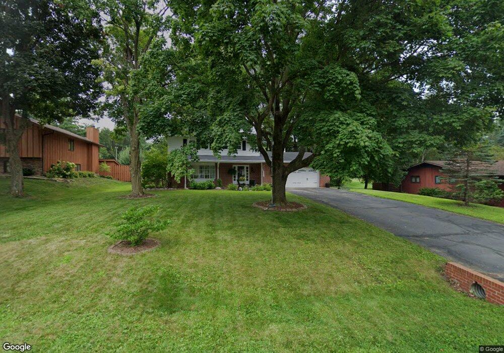
W5879 Cedar Rd La Crosse, WI 54601
Estimated Value: $407,000 - $480,000
Studio
--
Bath
--
Sq Ft
22,216
Sq Ft Lot
About This Home
This home is located at W5879 Cedar Rd, La Crosse, WI 54601 and is currently estimated at $450,835. W5879 Cedar Rd is a home located in La Crosse County with nearby schools including State Road Elementary School, Lincoln Middle School, and Central High School.
Ownership History
Date
Name
Owned For
Owner Type
Purchase Details
Closed on
May 1, 2018
Sold by
Reich Adam G and Stokke Kristy A
Bought by
Reich Trust
Current Estimated Value
Purchase Details
Closed on
Dec 28, 2015
Sold by
Salmon Douglas M and Palmer John M
Bought by
Reich Adam G and Stokke Kristy A
Home Financials for this Owner
Home Financials are based on the most recent Mortgage that was taken out on this home.
Original Mortgage
$228,000
Interest Rate
3.92%
Mortgage Type
New Conventional
Purchase Details
Closed on
Sep 23, 2011
Sold by
Edwards Scott Aaron
Bought by
Palmer John M
Home Financials for this Owner
Home Financials are based on the most recent Mortgage that was taken out on this home.
Original Mortgage
$169,100
Interest Rate
4.23%
Mortgage Type
New Conventional
Create a Home Valuation Report for This Property
The Home Valuation Report is an in-depth analysis detailing your home's value as well as a comparison with similar homes in the area
Purchase History
| Date | Buyer | Sale Price | Title Company |
|---|---|---|---|
| Reich Trust | -- | -- | |
| Reich Adam G | -- | -- | |
| Palmer John M | $178,000 | None Available |
Source: Public Records
Mortgage History
| Date | Status | Borrower | Loan Amount |
|---|---|---|---|
| Previous Owner | Reich Adam G | $228,000 | |
| Previous Owner | Palmer John M | $169,100 |
Source: Public Records
Tax History
| Year | Tax Paid | Tax Assessment Tax Assessment Total Assessment is a certain percentage of the fair market value that is determined by local assessors to be the total taxable value of land and additions on the property. | Land | Improvement |
|---|---|---|---|---|
| 2025 | $5,616 | $465,200 | $50,200 | $415,000 |
| 2023 | $5,484 | $278,200 | $37,900 | $240,300 |
| 2022 | $5,357 | $278,200 | $37,900 | $240,300 |
| 2021 | $5,555 | $278,200 | $37,900 | $240,300 |
| 2020 | $5,313 | $278,200 | $37,900 | $240,300 |
| 2019 | $5,309 | $278,200 | $37,900 | $240,300 |
| 2018 | $5,191 | $278,200 | $37,900 | $240,300 |
| 2017 | $5,147 | $278,200 | $37,900 | $240,300 |
| 2016 | $5,043 | $259,800 | $37,900 | $221,900 |
| 2015 | $3,906 | $206,500 | $37,900 | $168,600 |
| 2014 | $3,855 | $199,800 | $37,900 | $161,900 |
| 2013 | $4,298 | $205,100 | $40,000 | $165,100 |
Source: Public Records
Map
Nearby Homes
- 3336 E Fairchild St
- 0 Wedgewood Dr E
- 3012 Willow Dr
- 2802 31st St S
- 2401 30th St S
- 2201 30th St S
- 3026 33rd St S
- 3055 State Rd
- 1721 31st St S
- 3316 Rosehill Place Unit 24
- 3301 Rosehill Place
- 1421 31st Place S
- N2194 Valley Rd
- 3167 31st St S
- 2248 Sisson Dr
- 3420 Cliffside Dr
- 3033 27th St S
- W5419 Pine Bluff Rd
- 3731 Cliffside Dr
- N2015 Stonecrest Rd
- W5871 Cedar Rd
- W5883 Cedar Rd
- W5859 Cedar Rd
- N1790 Birchview Rd
- N1779 Birchview Rd
- W5882 Cedar Rd
- W5855 Cedar Rd
- W5886 Cedar Rd
- W5870 Cedar Rd
- N1819 Mesa Rd
- N1775 Birchview Rd
- N1760 Birchview Rd
- W5851 Cedar Rd
- W5897 Cedar Rd
- W5866 Cedar Rd
- N1822 Mesa Rd
- N1769 Birchview Rd
- W5858 Cedar Rd
- N1827 Mesa Rd
- W5847 Cedar Rd
Your Personal Tour Guide
Ask me questions while you tour the home.