W5913 Lake Dr Shawano, WI 54166
Estimated Value: $561,000 - $1,110,266
3
Beds
1
Bath
2,304
Sq Ft
$327/Sq Ft
Est. Value
About This Home
This home is located at W5913 Lake Dr, Shawano, WI 54166 and is currently estimated at $752,422, approximately $326 per square foot. W5913 Lake Dr is a home located in Shawano County with nearby schools including Hillcrest Primary School, Brener Elementary School, and Shawano Community Middle School.
Ownership History
Date
Name
Owned For
Owner Type
Purchase Details
Closed on
Aug 9, 2023
Sold by
Rosenberg Susan P
Bought by
Susan P Rosenberg Living Trust
Current Estimated Value
Purchase Details
Closed on
Apr 8, 2011
Sold by
Federal Home Loan Mortgage Corporation
Bought by
Rosenberg Edward J and Rosenberg Susan P
Purchase Details
Closed on
Sep 13, 2010
Sold by
Sheriff Of Shawano County
Bought by
Federal Home Loan Mortgage Corp
Create a Home Valuation Report for This Property
The Home Valuation Report is an in-depth analysis detailing your home's value as well as a comparison with similar homes in the area
Home Values in the Area
Average Home Value in this Area
Purchase History
| Date | Buyer | Sale Price | Title Company |
|---|---|---|---|
| Susan P Rosenberg Living Trust | $760,100 | Michael Shaw | |
| Rosenberg Edward J | -- | -- | |
| Federal Home Loan Mortgage Corp | -- | -- |
Source: Public Records
Tax History Compared to Growth
Tax History
| Year | Tax Paid | Tax Assessment Tax Assessment Total Assessment is a certain percentage of the fair market value that is determined by local assessors to be the total taxable value of land and additions on the property. | Land | Improvement |
|---|---|---|---|---|
| 2024 | $11,656 | $760,100 | $389,400 | $370,700 |
| 2023 | $11,619 | $760,100 | $389,400 | $370,700 |
| 2022 | $10,326 | $760,100 | $389,400 | $370,700 |
| 2021 | $10,818 | $551,700 | $259,200 | $292,500 |
| 2020 | $10,082 | $551,700 | $259,200 | $292,500 |
| 2019 | $10,043 | $551,700 | $259,200 | $292,500 |
| 2018 | $9,693 | $551,700 | $259,200 | $292,500 |
| 2017 | $9,375 | $551,700 | $259,200 | $292,500 |
| 2016 | $9,485 | $551,700 | $259,200 | $292,500 |
| 2015 | $9,601 | $551,700 | $259,200 | $292,500 |
| 2014 | $588,572 | $337,300 | $259,200 | $78,100 |
| 2013 | $5,940 | $334,700 | $256,600 | $78,100 |
Source: Public Records
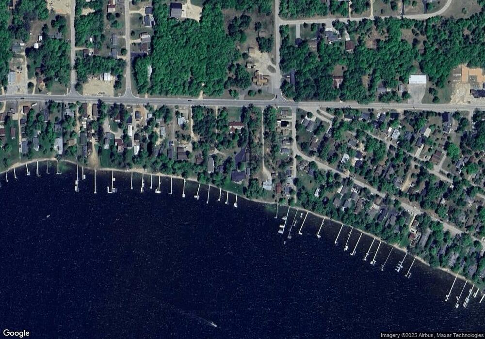
Map
Nearby Homes
- W5915 Lake Dr
- W6007 Lake Dr
- W6009 Lake Dr
- W5828 N Oak Park Cir
- N6321 Cattau Beach Dr
- W5424 N Shore Dr
- 0 Loon Lake Dr Unit 39
- 0 Loon Lake Dr Unit 25126501
- 0 S Line Road and Loon Lake Dr Unit 11587186
- W6763 Curt Black Rd
- 0 Northwood Dr Unit 50316281
- W6835 Curt Black Rd
- 0 S Line Road and Loon Lake Dr Unit 40
- W4978 Lulu Ct
- N6974 Lynwood Dr
- N6966 Lynwood Dr
- N6958 Lynwood Dr
- 0 Knollwood Ct Unit 50314383
- N6940 Menominee Dr
- N7031 Menominee Dr
- W5907 Lake Dr
- N6573 W Sunset Cir
- W5937 Lake Dr
- N6583 W Sunset Cir
- N6587 W Sunset Cir
- W5941 Lake Dr
- W5877 Sunset Cir
- N6593 W Sunset Cir
- W5873 Sunset Cir
- N6597 W Sunset Cir
- N6599 W Sunset Cir
- W5867 Sunset Cir
- W5951 Lake Dr
- W5943 Lake Dr
- W5877 N Beach Blvd
- W5878 Sunset Cir
- W5874 Sunset Cir
- W5957 Lake Dr
- W5859 Sunset Cir
- W5871 N Beach Blvd