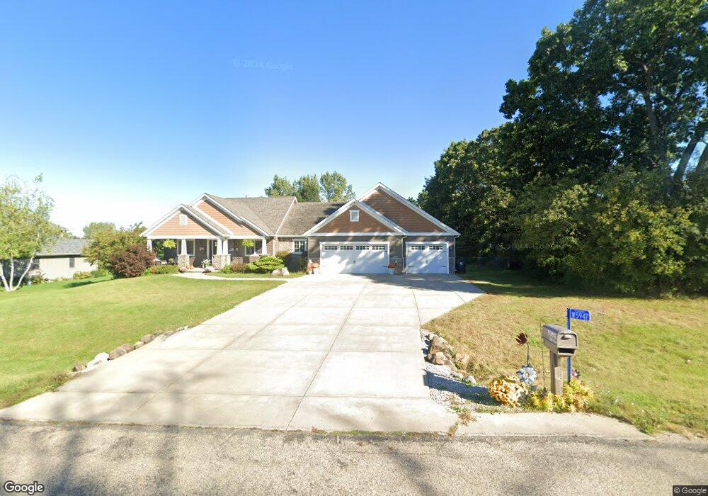
W5947 Apple Ln Fort Atkinson, WI 53538
Estimated Value: $463,532 - $650,000
--
Bed
--
Bath
--
Sq Ft
0.69
Acres
About This Home
This home is located at W5947 Apple Ln, Fort Atkinson, WI 53538 and is currently estimated at $573,633. W5947 Apple Ln is a home located in Jefferson County with nearby schools including Luther Elementary School, Fort Atkinson Middle School, and Fort Atkinson High School.
Ownership History
Date
Name
Owned For
Owner Type
Purchase Details
Closed on
Oct 4, 2018
Sold by
Aalto Michael G
Bought by
Aalto Christine A
Current Estimated Value
Purchase Details
Closed on
Jul 1, 2009
Sold by
Patterson Tom W
Bought by
Aalto Michael and Aalto Christine A
Home Financials for this Owner
Home Financials are based on the most recent Mortgage that was taken out on this home.
Original Mortgage
$262,800
Outstanding Balance
$171,955
Interest Rate
5.36%
Mortgage Type
Construction
Estimated Equity
$401,678
Purchase Details
Closed on
Jan 24, 2006
Sold by
Creek Development Llc
Bought by
Patterson Tom W
Create a Home Valuation Report for This Property
The Home Valuation Report is an in-depth analysis detailing your home's value as well as a comparison with similar homes in the area
Home Values in the Area
Average Home Value in this Area
Purchase History
| Date | Buyer | Sale Price | Title Company |
|---|---|---|---|
| Aalto Christine A | -- | None Available | |
| Aalto Michael | $45,900 | None Available | |
| Patterson Tom W | $94,800 | None Available |
Source: Public Records
Mortgage History
| Date | Status | Borrower | Loan Amount |
|---|---|---|---|
| Open | Aalto Michael | $262,800 |
Source: Public Records
Tax History Compared to Growth
Tax History
| Year | Tax Paid | Tax Assessment Tax Assessment Total Assessment is a certain percentage of the fair market value that is determined by local assessors to be the total taxable value of land and additions on the property. | Land | Improvement |
|---|---|---|---|---|
| 2024 | $5,667 | $311,200 | $43,800 | $267,400 |
| 2023 | $5,738 | $311,200 | $43,800 | $267,400 |
| 2022 | $5,929 | $311,200 | $43,800 | $267,400 |
| 2021 | $5,522 | $311,200 | $43,800 | $267,400 |
| 2020 | $4,802 | $311,200 | $43,800 | $267,400 |
| 2019 | $4,823 | $248,800 | $40,500 | $208,300 |
| 2018 | $4,457 | $248,800 | $40,500 | $208,300 |
| 2017 | $4,327 | $248,800 | $40,500 | $208,300 |
| 2016 | $4,496 | $248,800 | $40,500 | $208,300 |
| 2015 | $4,381 | $248,800 | $40,500 | $208,300 |
| 2014 | $4,262 | $248,800 | $40,500 | $208,300 |
| 2013 | $4,406 | $248,800 | $40,500 | $208,300 |
Source: Public Records
Map
Nearby Homes
- W6272 Apple Ln
- N1609 Pleasant Rd
- N1657 Carlin Rd
- 205 Wollet Dr
- W6368 Briar Ln
- 1268 Jamesway
- 263 Heritage Dr Unit 20
- 265 Heritage Dr Unit 19
- 1402 Adrian Blvd
- 633 Hilltop Trail W
- 206 Hilltop Trail
- 611 Talcott Ave
- Lot #6 Commerce Pkwy
- Lot #10 Commerce Pkwy
- Lot #9 Commerce Pkwy
- Lot #7 Commerce Pkwy
- Lot #1 Commerce Pkwy
- 1000 Whitetail Dr
- 336 Jones Ave
- 234 S Main St
- W5941 Apple Ln
- W5951 Apple Ln
- W5959 Apple Ln
- 5929 Apple Ln
- 5929 W Apple
- N1644 Maxwell Way
- N1625 Brooke Ln
- Lot 1 Maxwell Way
- W5930 Apple Ln
- W5969 Apple Ln
- W6203 Hackbarth Rd
- N1611 Brooke Ln
- N1628 Brooke Ln
- W6157 N Thornapple Ct
- N1641 Maxwell Way
- W6225 Apple Ln
- W5983 Apple Ln
- N1624 Brooke Ln
- N1622 S Maxwell Way
- N1676 Maxwell Way