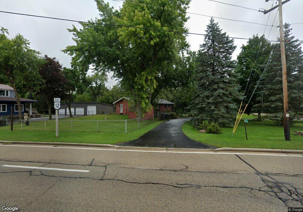
W6095 Us Highway 12 Whitewater, WI 53190
Estimated Value: $295,000 - $341,000
--
Bed
--
Bath
--
Sq Ft
0.94
Acres
About This Home
This home is located at W6095 Us Highway 12, Whitewater, WI 53190 and is currently estimated at $318,000. W6095 Us Highway 12 is a home located in Walworth County with nearby schools including Whitewater High School.
Ownership History
Date
Name
Owned For
Owner Type
Purchase Details
Closed on
Feb 4, 2025
Sold by
Eric Lange And Mary Horning Trust and Lange Eric M
Bought by
Trudeau Tracy
Current Estimated Value
Purchase Details
Closed on
May 9, 2008
Sold by
Nelson Robert W
Bought by
Lange Eric M and Horning Mary P
Home Financials for this Owner
Home Financials are based on the most recent Mortgage that was taken out on this home.
Original Mortgage
$134,800
Interest Rate
5.93%
Mortgage Type
New Conventional
Create a Home Valuation Report for This Property
The Home Valuation Report is an in-depth analysis detailing your home's value as well as a comparison with similar homes in the area
Home Values in the Area
Average Home Value in this Area
Purchase History
| Date | Buyer | Sale Price | Title Company |
|---|---|---|---|
| Trudeau Tracy | $285,000 | None Listed On Document | |
| Lange Eric M | $168,500 | Chicago Title Insurance Co |
Source: Public Records
Mortgage History
| Date | Status | Borrower | Loan Amount |
|---|---|---|---|
| Previous Owner | Lange Eric M | $134,800 |
Source: Public Records
Tax History Compared to Growth
Tax History
| Year | Tax Paid | Tax Assessment Tax Assessment Total Assessment is a certain percentage of the fair market value that is determined by local assessors to be the total taxable value of land and additions on the property. | Land | Improvement |
|---|---|---|---|---|
| 2024 | $2,580 | $179,800 | $43,800 | $136,000 |
| 2023 | $2,550 | $179,800 | $43,800 | $136,000 |
| 2022 | $2,496 | $179,800 | $43,800 | $136,000 |
| 2021 | $2,690 | $179,800 | $43,800 | $136,000 |
| 2020 | $2,579 | $179,800 | $43,800 | $136,000 |
| 2019 | $2,600 | $179,800 | $43,800 | $136,000 |
| 2018 | $2,638 | $167,300 | $34,400 | $132,900 |
| 2017 | $2,600 | $167,300 | $34,400 | $132,900 |
| 2016 | $2,511 | $167,300 | $34,400 | $132,900 |
| 2015 | $2,451 | $167,300 | $34,400 | $132,900 |
| 2014 | $2,812 | $167,300 | $34,400 | $132,900 |
| 2013 | $2,812 | $167,300 | $34,400 | $132,900 |
Source: Public Records
Map
Nearby Homes
- W5440 Whitetail Trail
- N8517 Tamarack Rd
- W5200 Bluff Rd
- W6098 U S 12
- W4910 Oakwood Dr
- N8115 Pleasant Lake Rd
- W5229 Surfwood Dr Unit 77
- W5180 Jason Rd
- W4429 Little Prairie Rd
- W5353 Lauderdale Dr
- W5357 Lauderdale Dr
- W397 S11030 Chimney Rock
- 5598 Westshore Dr
- W397S11030 Chimney Rock
- W5539 Oak Park Rd
- W5553 Oak Park Rd
- Lt0 Green Lake Dr
- W5074 Hawk Rd
- Lt0 Lost Nation Rd
- W1325 S Shore Dr
- W5405 Greening Rd
- W5405 Greening Rd
- W5405 Greening Rd
- W5437 Greening Rd
- W5450 Greening Rd
- W5355 Greening Rd
- W5534 Greening Rd
- W5476 Whitetail Trail
- W5520 Whitetail Trail
- N9009 State Road 67
- N9009 Tamarack Rd
- W5499 Parker Trace
- W5436 Whitetail Trail
- W5541 Parker Trace
- 9107 N Hwy 67
- N9097 Tamarack Rd
- W5504 Parker Trace
- W5504 Parker Trace
- W5542 Parker Trace
- W5481 Woodland Ln