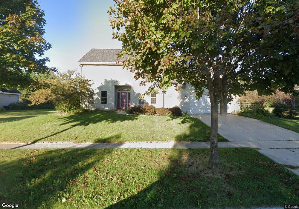
W60N1051 Sheboygan Rd Cedarburg, WI 53012
Estimated Value: $642,000 - $752,000
--
Bed
--
Bath
--
Sq Ft
0.32
Acres
About This Home
This home is located at W60N1051 Sheboygan Rd, Cedarburg, WI 53012 and is currently estimated at $704,815. W60N1051 Sheboygan Rd is a home located in Ozaukee County with nearby schools including Cedarburg High School, First Immanuel Lutheran School, and St Francis Borgia Catholic School.
Ownership History
Date
Name
Owned For
Owner Type
Purchase Details
Closed on
Jun 12, 2015
Sold by
Johnson Bryan A and Johnson Marica A
Bought by
Brown Krik J and Brown Rebecca A
Current Estimated Value
Home Financials for this Owner
Home Financials are based on the most recent Mortgage that was taken out on this home.
Original Mortgage
$370,000
Outstanding Balance
$287,797
Interest Rate
3.87%
Mortgage Type
New Conventional
Estimated Equity
$417,018
Create a Home Valuation Report for This Property
The Home Valuation Report is an in-depth analysis detailing your home's value as well as a comparison with similar homes in the area
Home Values in the Area
Average Home Value in this Area
Purchase History
| Date | Buyer | Sale Price | Title Company |
|---|---|---|---|
| Brown Krik J | -- | Knight Barry Title |
Source: Public Records
Mortgage History
| Date | Status | Borrower | Loan Amount |
|---|---|---|---|
| Open | Brown Krik J | $370,000 |
Source: Public Records
Tax History Compared to Growth
Tax History
| Year | Tax Paid | Tax Assessment Tax Assessment Total Assessment is a certain percentage of the fair market value that is determined by local assessors to be the total taxable value of land and additions on the property. | Land | Improvement |
|---|---|---|---|---|
| 2024 | $7,178 | $483,500 | $88,800 | $394,700 |
| 2023 | $6,642 | $483,500 | $88,800 | $394,700 |
| 2022 | $6,491 | $483,500 | $88,800 | $394,700 |
| 2021 | $6,389 | $360,500 | $80,700 | $279,800 |
| 2020 | $6,766 | $360,500 | $80,700 | $279,800 |
| 2019 | $6,654 | $360,500 | $80,700 | $279,800 |
| 2018 | $6,550 | $360,500 | $80,700 | $279,800 |
| 2017 | $6,453 | $360,500 | $80,700 | $279,800 |
| 2016 | $6,613 | $360,500 | $80,700 | $279,800 |
| 2015 | $6,430 | $360,500 | $80,700 | $279,800 |
| 2014 | $6,533 | $360,500 | $80,700 | $279,800 |
| 2013 | $6,846 | $360,500 | $80,700 | $279,800 |
Source: Public Records
Map
Nearby Homes
- N105W6300 Brenton Ln
- N104W6262 Susan Ln
- N105W6431 Stone Lake Cir Unit 32
- N106W6590 Stone Lake Cir Unit 10
- N106W6600 Stone Lake Cir Unit 9
- N105W6695 Stone Lake Cir Unit 5
- 1319 Creekside Ct
- 1311 Dove Ln
- W68N921 Washington Ave
- 1339 Cedar Creek Pkwy
- 331 Juniper Ct
- N114W7191 Oakmont Dr
- 329 W Bridge St
- W72N1047 Hampton Ave
- 1090 Canary Ct
- 1382 Cedarton Pkwy
- 935 Kohlwey Dr
- W67N786 Evergreen Blvd
- Windsor Plan at Stonewall Farms
- The Clare Plan at Stonewall Farms
- W60N1045 Sheboygan Rd
- W60N1055 Sheboygan Rd
- W60N1067 Sheboygan Rd
- W60N1052 Sheboygan Rd
- N105W6266 Brenton Ln
- N105W6232 Brenton Ln
- N105W6222 Brenton Ln
- N105W6186 Brenton Ln
- N104W6235 Brenton Ln
- N104W6267 Brenton Ln
- N104W6327 Brenton Ln
- N104W6343 Brenton Ln
- LT61 Brenton Ln
- LT60 Brenton Ln
- LT59 Brenton Ln
- LT54 Brenton Ln
- LT57 Brenton Ln
- LT56 Brenton Ln
- LT55 Brenton Ln
- LT53 Brenton Ln