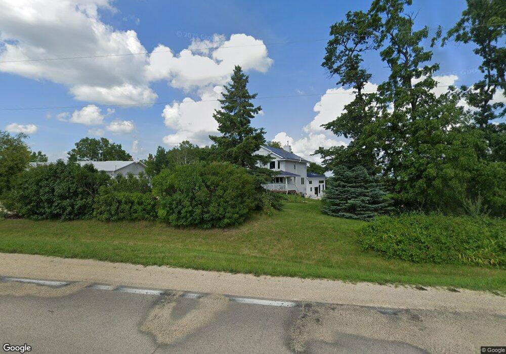
W6306 State Road 39 New Glarus, WI 53574
Estimated Value: $702,000 - $755,000
--
Bed
--
Bath
--
Sq Ft
4.92
Acres
About This Home
This home is located at W6306 State Road 39, New Glarus, WI 53574 and is currently estimated at $719,788. W6306 State Road 39 is a home located in Green County with nearby schools including New Glarus Elementary School, New Glarus Middle School, and New Glarus High School.
Ownership History
Date
Name
Owned For
Owner Type
Purchase Details
Closed on
Apr 11, 2019
Sold by
Paulson David A and Paulson Charlene M G
Bought by
Phillipps Joni K
Current Estimated Value
Home Financials for this Owner
Home Financials are based on the most recent Mortgage that was taken out on this home.
Original Mortgage
$335,000
Outstanding Balance
$294,525
Interest Rate
4.3%
Mortgage Type
Unknown
Estimated Equity
$425,263
Create a Home Valuation Report for This Property
The Home Valuation Report is an in-depth analysis detailing your home's value as well as a comparison with similar homes in the area
Home Values in the Area
Average Home Value in this Area
Purchase History
| Date | Buyer | Sale Price | Title Company |
|---|---|---|---|
| Phillipps Joni K | $396,000 | None Available |
Source: Public Records
Mortgage History
| Date | Status | Borrower | Loan Amount |
|---|---|---|---|
| Open | Phillipps Joni K | $335,000 |
Source: Public Records
Tax History Compared to Growth
Tax History
| Year | Tax Paid | Tax Assessment Tax Assessment Total Assessment is a certain percentage of the fair market value that is determined by local assessors to be the total taxable value of land and additions on the property. | Land | Improvement |
|---|---|---|---|---|
| 2024 | $9,045 | $458,100 | $84,200 | $373,900 |
| 2023 | $8,335 | $458,100 | $84,200 | $373,900 |
| 2022 | $8,528 | $458,100 | $84,200 | $373,900 |
| 2021 | $8,365 | $324,400 | $42,600 | $281,800 |
| 2020 | $7,885 | $324,400 | $42,600 | $281,800 |
| 2019 | $6,111 | $256,100 | $42,600 | $213,500 |
| 2018 | $5,846 | $256,100 | $42,600 | $213,500 |
| 2017 | $5,754 | $256,100 | $42,600 | $213,500 |
| 2016 | $5,755 | $256,100 | $42,600 | $213,500 |
| 2014 | $5,406 | $256,100 | $42,600 | $213,500 |
Source: Public Records
Map
Nearby Homes
- W6118 Durst Rd
- N8526 Ashley Ln
- W6504 Klassy Rd
- Lot 9 Wisconsin 39
- N8122 Marty Rd
- Lot 28 Wisconsin 39
- Lot 27 Wisconsin 39
- 42.81 Acres Wisconsin 39
- 44.88+/- Acres Wisconsin 39
- 407 5th St
- 55 2nd St
- 319 5th Ave
- 405 7th Ave
- 405 7th Ave Unit C
- 819 4th St
- 114 2nd St
- 219 6th Ave
- 218 7th Ave
- 1301 4th St
- 1312 3rd St
- W6306 Wisconsin 39
- W6324 Durst Rd
- W6306 Durst Rd
- W6375 State Road 39
- W6438 Wisconsin 39
- W6277 State Road 39
- W6438 State Road 39
- 6495 W Highway 39
- 6495 W Hwy 39
- W6495 State Road 39
- w 6495 State Road 39
- n 8892 Blue Vista Ln
- N8892 Blue Vista Ln
- n 8894 Blue Vista Ln
- N8894 Blue Vista
- N8890 Blue Vista Ln
- N8896 Blue Vista Ln
- N8898 Blue Vista Ln
- N8895 Blue Vista
- W6167 Irish Ln