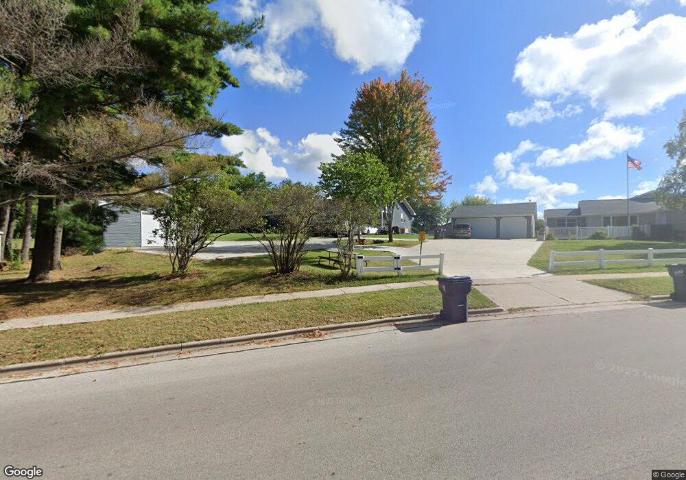
W6425 Hwy 12 Koshkonong, WI 53538
Estimated Value: $356,000 - $382,000
--
Bed
2
Baths
--
Sq Ft
1.01
Acres
About This Home
This home is located at W6425 Hwy 12, Koshkonong, WI 53538 and is currently estimated at $368,685. W6425 Hwy 12 is a home located in Jefferson County with nearby schools including Barrie Elementary School, Fort Atkinson Middle School, and Fort Atkinson High School.
Ownership History
Date
Name
Owned For
Owner Type
Purchase Details
Closed on
Aug 4, 2025
Sold by
Fiege Jason A
Bought by
Harnack Daniel
Current Estimated Value
Home Financials for this Owner
Home Financials are based on the most recent Mortgage that was taken out on this home.
Original Mortgage
$319,000
Outstanding Balance
$318,712
Interest Rate
6.5%
Mortgage Type
New Conventional
Estimated Equity
$49,973
Purchase Details
Closed on
Dec 20, 2017
Sold by
Zen Llc
Bought by
Fiege Jason A
Home Financials for this Owner
Home Financials are based on the most recent Mortgage that was taken out on this home.
Original Mortgage
$126,000
Interest Rate
3.92%
Mortgage Type
New Conventional
Purchase Details
Closed on
Dec 23, 2016
Sold by
Adamus Daniel J
Bought by
Zen4 Llc
Purchase Details
Closed on
Nov 6, 2014
Sold by
Adamus Daniel J and Estate Of John R Adamus
Bought by
Adamus Daniel J
Create a Home Valuation Report for This Property
The Home Valuation Report is an in-depth analysis detailing your home's value as well as a comparison with similar homes in the area
Home Values in the Area
Average Home Value in this Area
Purchase History
| Date | Buyer | Sale Price | Title Company |
|---|---|---|---|
| Harnack Daniel | $379,000 | None Listed On Document | |
| Fiege Jason A | $168,000 | -- | |
| Zen4 Llc | $114,000 | None Available | |
| Adamus Daniel J | -- | None Available |
Source: Public Records
Mortgage History
| Date | Status | Borrower | Loan Amount |
|---|---|---|---|
| Open | Harnack Daniel | $319,000 | |
| Previous Owner | Fiege Jason A | $126,000 |
Source: Public Records
Tax History Compared to Growth
Tax History
| Year | Tax Paid | Tax Assessment Tax Assessment Total Assessment is a certain percentage of the fair market value that is determined by local assessors to be the total taxable value of land and additions on the property. | Land | Improvement |
|---|---|---|---|---|
| 2024 | $3,558 | $193,600 | $36,000 | $157,600 |
| 2023 | $3,599 | $193,600 | $36,000 | $157,600 |
| 2022 | $3,714 | $193,600 | $36,000 | $157,600 |
| 2021 | $3,463 | $193,600 | $36,000 | $157,600 |
| 2020 | $3,017 | $193,600 | $36,000 | $157,600 |
| 2019 | $3,294 | $168,700 | $42,000 | $126,700 |
| 2018 | $3,046 | $168,700 | $42,000 | $126,700 |
| 2017 | $2,834 | $168,700 | $42,000 | $126,700 |
| 2016 | $2,936 | $168,700 | $42,000 | $126,700 |
| 2015 | $2,998 | $168,700 | $42,000 | $126,700 |
| 2014 | $2,916 | $168,700 | $42,000 | $126,700 |
| 2013 | $3,012 | $168,700 | $42,000 | $126,700 |
Source: Public Records
Map
Nearby Homes
- 609 Cloute St
- 916 Madison Ave
- 845 Messmer St
- 605 Nelson St
- 715 Madison Ave
- 1220 Sherman Ave W
- 1222 Sherman Ave W Unit P
- 1120 Van Buren St
- 1233 Sherman Ave W
- 42 Wilson Ave
- Lt40 Montclair Place
- 125 Monroe St
- 1112 Menomonee Ct
- 214 Hickory St
- 1612 Commonwealth Dr Unit 3
- 311 N Main St
- 336 Jones Ave
- 520 Edward St
- 1709 Montclair Place
- 100 Edward St Unit 4
- W6425 Us Highway 12
- w 6425 Us Highway 12
- W6429 Us Highway 12
- 1201 Madison Ave
- 603 Commonwealth Dr
- 1116 Madison Ave
- 1225 Commonwealth Dr
- 601 Commonwealth Dr
- 431 Commonwealth Dr Unit A
- 431 Commonwealth Dr
- 1227 Commonwealth Dr
- 1119 Caswell St
- 433 Commonwealth Dr
- 428 Commonwealth Dr
- 428 Commonwealth Dr
- 427 Commonwealth Dr
- 427 Commonwealth Dr Unit A
- 1111 Caswell St
- 1230 Commonwealth Dr
- 1103 Caswell St