W6460 State Road 106 Fort Atkinson, WI 53538
Estimated Value: $248,000 - $378,000
--
Bed
--
Bath
--
Sq Ft
1.25
Acres
About This Home
This home is located at W6460 State Road 106, Fort Atkinson, WI 53538 and is currently estimated at $286,450. W6460 State Road 106 is a home with nearby schools including Barrie Elementary School, Fort Atkinson Middle School, and Fort Atkinson High School.
Ownership History
Date
Name
Owned For
Owner Type
Purchase Details
Closed on
Jan 6, 2021
Sold by
Rosemary Gjertson Estate
Bought by
Marvin S Gjertson Estate
Current Estimated Value
Purchase Details
Closed on
Oct 29, 2020
Sold by
Kopetsky Constance
Bought by
Garlock Terry F and Garlock Nancy J
Home Financials for this Owner
Home Financials are based on the most recent Mortgage that was taken out on this home.
Original Mortgage
$30,000
Interest Rate
2.8%
Mortgage Type
New Conventional
Create a Home Valuation Report for This Property
The Home Valuation Report is an in-depth analysis detailing your home's value as well as a comparison with similar homes in the area
Home Values in the Area
Average Home Value in this Area
Purchase History
| Date | Buyer | Sale Price | Title Company |
|---|---|---|---|
| Marvin S Gjertson Estate | -- | None Available | |
| Garlock Terry F | $150,000 | None Available |
Source: Public Records
Mortgage History
| Date | Status | Borrower | Loan Amount |
|---|---|---|---|
| Previous Owner | Garlock Terry F | $30,000 |
Source: Public Records
Tax History Compared to Growth
Tax History
| Year | Tax Paid | Tax Assessment Tax Assessment Total Assessment is a certain percentage of the fair market value that is determined by local assessors to be the total taxable value of land and additions on the property. | Land | Improvement |
|---|---|---|---|---|
| 2024 | $3,033 | $160,600 | $59,400 | $101,200 |
| 2023 | $3,064 | $160,600 | $59,400 | $101,200 |
| 2022 | $2,831 | $159,300 | $59,400 | $99,900 |
| 2021 | $2,644 | $159,300 | $59,400 | $99,900 |
| 2020 | $2,384 | $159,300 | $59,400 | $99,900 |
| 2019 | $1,983 | $108,600 | $43,100 | $65,500 |
| 2018 | $1,849 | $108,600 | $43,100 | $65,500 |
| 2017 | $1,851 | $108,600 | $43,100 | $65,500 |
| 2016 | $1,916 | $108,600 | $43,100 | $65,500 |
| 2015 | $2,000 | $108,600 | $43,100 | $65,500 |
| 2014 | $1,951 | $108,600 | $43,100 | $65,500 |
| 2013 | $2,011 | $108,600 | $43,100 | $65,500 |
Source: Public Records
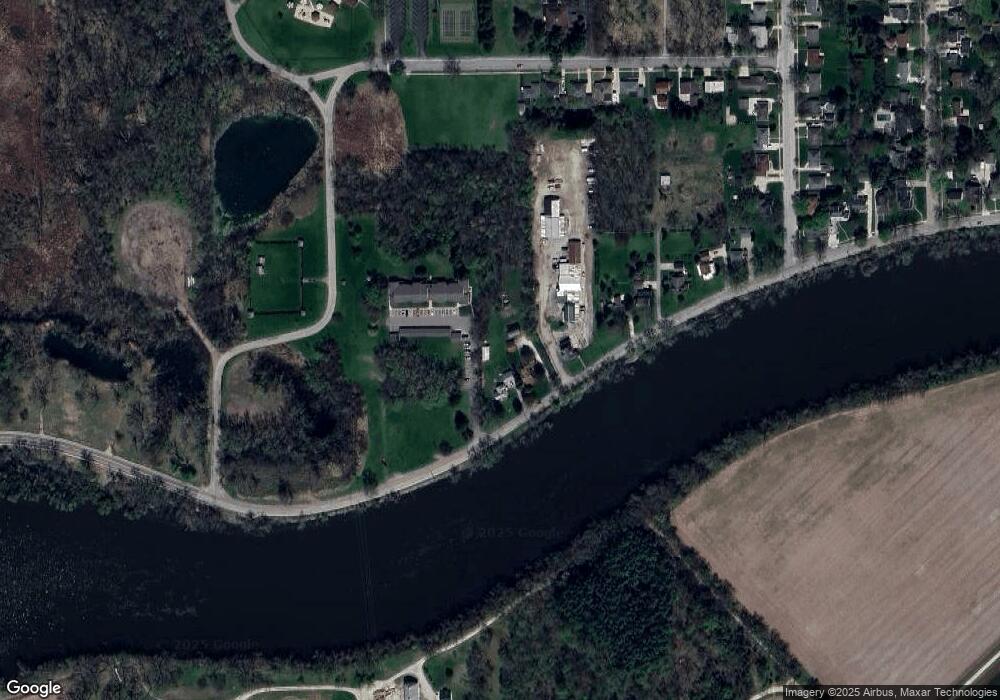
Map
Nearby Homes
- 42 Wilson Ave
- 1233 Sherman Ave W
- 1120 Van Buren St
- 1222 Sherman Ave W Unit P
- 1220 Sherman Ave W
- 125 Monroe St
- 336 Jones Ave
- 715 Madison Ave
- 916 Madison Ave
- Lt40 Montclair Place
- 609 Cloute St
- 611 Talcott Ave
- 605 Nelson St
- 206 Hilltop Trail
- 633 Hilltop Trail W
- 234 S Main St
- 845 Messmer St
- 1709 Montclair Place
- 311 N Main St
- 1612 Commonwealth Dr Unit 3
- W6454 State Road 106
- 1320 Riverside Dr
- 1246 Riverside Dr
- 1234 Riverside Dr
- 1230 Riverside Dr
- 1222 Riverside Dr
- 1214 Riverside Dr
- 1206 Riverside Dr
- 1224 Riverside Dr
- 1247 Lillian St
- 1243 Lillian St
- 1239 Lillian St
- 11 Wilson Ave Unit 13
- 1233 Lillian St
- 1227 Lillian St
- 1221 Lillian St
- 1118 Riverside Dr
- 6 Wilson Ave
- 1213 Lillian St
- 1242 Lillian St