W6505 Beaverbrook Ave Spooner, WI 54801
Estimated Value: $296,039 - $459,000
--
Bed
--
Bath
--
Sq Ft
32.95
Acres
About This Home
This home is located at W6505 Beaverbrook Ave, Spooner, WI 54801 and is currently estimated at $352,680. W6505 Beaverbrook Ave is a home with nearby schools including Spooner Elementary School, Spooner Middle School, and Spooner High School.
Ownership History
Date
Name
Owned For
Owner Type
Purchase Details
Closed on
Oct 5, 2021
Sold by
Bowers Mary Lou
Bought by
Griffin Cory Allen and Griffin Regann E
Current Estimated Value
Purchase Details
Closed on
Mar 14, 2005
Sold by
Bowers Ronald and Bowers Mary Lou
Bought by
Griffin Corey Allen
Create a Home Valuation Report for This Property
The Home Valuation Report is an in-depth analysis detailing your home's value as well as a comparison with similar homes in the area
Home Values in the Area
Average Home Value in this Area
Purchase History
| Date | Buyer | Sale Price | Title Company |
|---|---|---|---|
| Griffin Cory Allen | $91,950 | -- | |
| Griffin Corey Allen | $200,000 | -- |
Source: Public Records
Mortgage History
| Date | Status | Borrower | Loan Amount |
|---|---|---|---|
| Closed | Griffin Corey Allen | $0 |
Source: Public Records
Tax History Compared to Growth
Tax History
| Year | Tax Paid | Tax Assessment Tax Assessment Total Assessment is a certain percentage of the fair market value that is determined by local assessors to be the total taxable value of land and additions on the property. | Land | Improvement |
|---|---|---|---|---|
| 2023 | $2,627 | $234,300 | $40,400 | $193,900 |
| 2022 | $2,055 | $152,100 | $49,800 | $102,300 |
| 2021 | $2,018 | $152,100 | $49,800 | $102,300 |
| 2020 | $2,194 | $152,100 | $49,800 | $102,300 |
| 2019 | $2,133 | $152,100 | $49,800 | $102,300 |
| 2018 | $2,069 | $152,100 | $49,800 | $102,300 |
| 2017 | $2,307 | $152,100 | $49,800 | $102,300 |
| 2016 | $2,390 | $152,100 | $49,800 | $102,300 |
| 2015 | $2,274 | $152,100 | $49,800 | $102,300 |
| 2014 | $1,953 | $152,100 | $49,800 | $102,300 |
| 2012 | $1,916 | $161,100 | $58,800 | $102,300 |
Source: Public Records
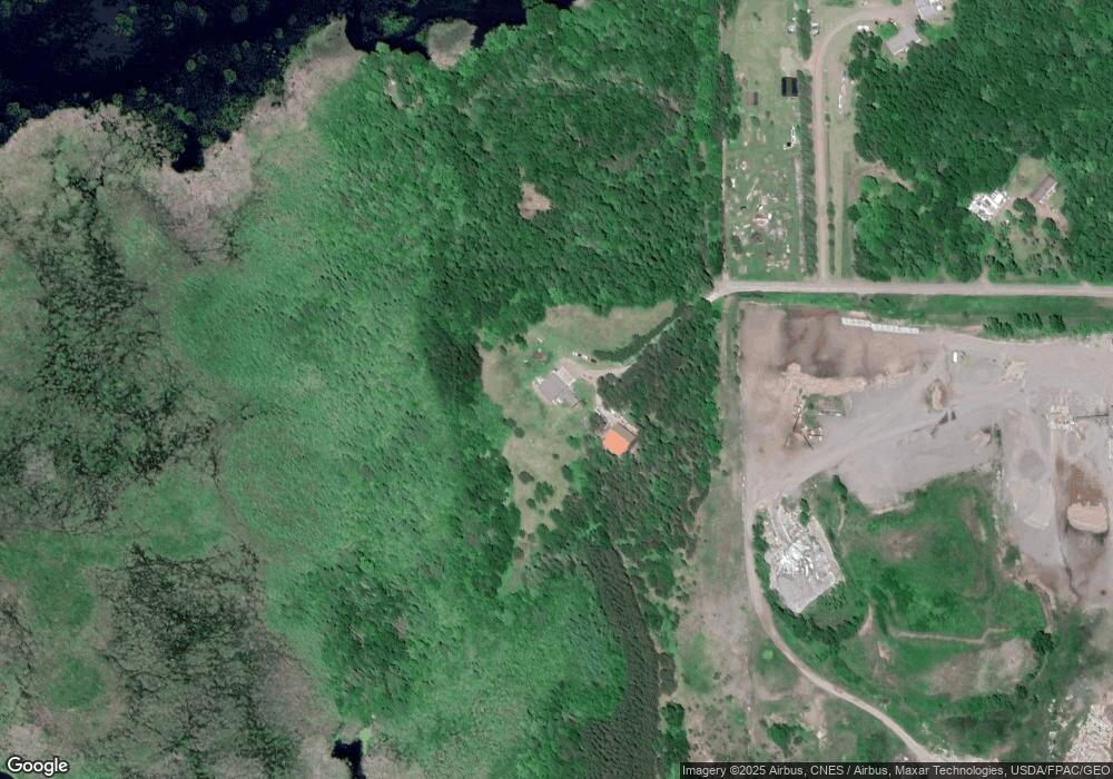
Map
Nearby Homes
- Lot 1 Lois Lane S Lois Ln SW
- XXX Pine Dr
- XXX Dur A Bilt Rd
- 106 S Summit St
- 0 Northland Dr
- 222 Spruce St
- xxx Trails End
- 0 Hwy 70 Unit 1594695
- 409 Poplar St
- 607 College St
- 924 Superior St
- 0 U S 53
- Lot 2 Grant St
- 5810 Bear Path Ln
- N5009 Degenaar Dr
- N5781 County Highway K
- 7395 Miller Rd
- N4821 Tozer Lake Rd
- N5603 Tower Hill Rd
- N5588 Boardwalk
- W6424 Beaverbrook Ave
- W6430 Beaverbrook Ave
- W6470 Beaverbrook Ave
- N4933 Beaverbrook Ave
- o Beaverbrook Ave
- 000 Beaverbrook Ave
- N4961 Beaverbrook Ave
- N4977 Beaverbrook Ave
- 0 Beaver Brook Ave
- W6465 Highway 70
- W6423 Highway 70
- 5855 5855 Hwy 70
- N4852 Randall Lake Rd
- 5855 Hwy 70
- n 4852 Randall Lake Rd
- N4832 Randall Lake Rd
- 4852 Randall Lake Rd
- 607 E Beaver St
- Lot 1 Randall Lake Rd
- 522 Oseewee Plaisance