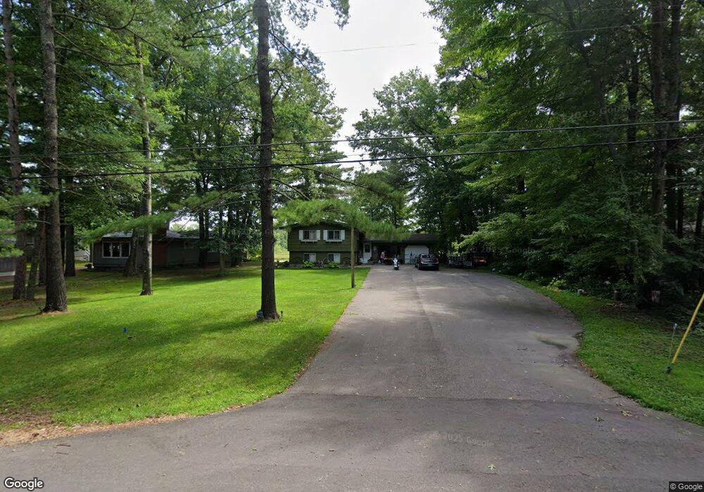
W6551 Homewood Ave Shawano, WI 54166
Estimated Value: $384,815 - $430,000
2
Beds
1
Bath
1,758
Sq Ft
$235/Sq Ft
Est. Value
About This Home
This home is located at W6551 Homewood Ave, Shawano, WI 54166 and is currently estimated at $412,454, approximately $234 per square foot. W6551 Homewood Ave is a home located in Shawano County with nearby schools including Hillcrest Primary School, Brener Elementary School, and Shawano Community Middle School.
Ownership History
Date
Name
Owned For
Owner Type
Purchase Details
Closed on
Dec 1, 2017
Sold by
Terry Tonn
Bought by
Brown Robert J and Brown Vickie L
Current Estimated Value
Purchase Details
Closed on
Sep 30, 2011
Sold by
Hibbard Dale J
Bought by
Tonn Terry
Home Financials for this Owner
Home Financials are based on the most recent Mortgage that was taken out on this home.
Original Mortgage
$147,172
Interest Rate
3.87%
Mortgage Type
FHA
Create a Home Valuation Report for This Property
The Home Valuation Report is an in-depth analysis detailing your home's value as well as a comparison with similar homes in the area
Home Values in the Area
Average Home Value in this Area
Purchase History
| Date | Buyer | Sale Price | Title Company |
|---|---|---|---|
| Brown Robert J | $180,000 | -- | |
| Tonn Terry | $151,000 | Bay Title & Abstract Inc |
Source: Public Records
Mortgage History
| Date | Status | Borrower | Loan Amount |
|---|---|---|---|
| Previous Owner | Tonn Terry | $147,172 |
Source: Public Records
Tax History Compared to Growth
Tax History
| Year | Tax Paid | Tax Assessment Tax Assessment Total Assessment is a certain percentage of the fair market value that is determined by local assessors to be the total taxable value of land and additions on the property. | Land | Improvement |
|---|---|---|---|---|
| 2024 | $3,733 | $257,800 | $102,400 | $155,400 |
| 2023 | $3,678 | $257,800 | $102,400 | $155,400 |
| 2022 | $3,272 | $257,800 | $102,400 | $155,400 |
| 2021 | $3,377 | $187,600 | $64,000 | $123,600 |
| 2020 | $3,217 | $187,600 | $64,000 | $123,600 |
| 2019 | $3,033 | $179,500 | $64,000 | $115,500 |
| 2018 | $2,943 | $179,500 | $64,000 | $115,500 |
| 2017 | $2,890 | $179,500 | $64,000 | $115,500 |
| 2016 | $2,912 | $179,500 | $64,000 | $115,500 |
| 2015 | $2,970 | $179,500 | $64,000 | $115,500 |
| 2014 | $310,075 | $179,500 | $64,000 | $115,500 |
| 2013 | $3,155 | $179,500 | $64,000 | $115,500 |
Source: Public Records
Map
Nearby Homes
- 0 Willow Wood St Unit 50316593
- 0 Willow Wood St Unit 50316590
- 0 Willow Wood St Unit 50316603
- 0 Willow Wood St Unit 50316605
- 0 Willow Wood St Unit 50316604
- 228 Willow Wood
- 127 Channel Trace
- 182 S Humphrey Cir
- 433 Fairview Way
- 0 E Green Bay St Unit 50304907
- 1 Tristan Dr
- 5 Tristan Dr
- 4 Tristan Dr
- 402 Tristan Dr
- 0 Buss Ct
- 1380 Beauprey Rd
- 833 E Randall St
- 280 Alpine Dr
- 250 Alpine Dr
- 206 S Lincoln St
- W6543 Homewood Ave
- W6563 Homewood Ave
- W6539 Homewood Ave
- W6575 Homewood Ave
- W6515 Homewood Ave
- W6581 Homewood Ave
- 0 Homewood Ave Unit 50022006
- 0 Homewood Ave Unit 10800974
- 0 Homewood Ave Unit 10807655
- 0 Homewood Ave Unit 50053262
- 0 Homewood Ave Unit 50184049
- W6509 Homewood Ave
- W6587 Homewood Ave
- W6505 Homewood Ave
- W6591 Homewood Ave
- W6590 Homewood Ave
- N5584 Airport Rd
- N5584 Airport Rd
- W6608 Homewood Ave
- W6609 Homewood Ave