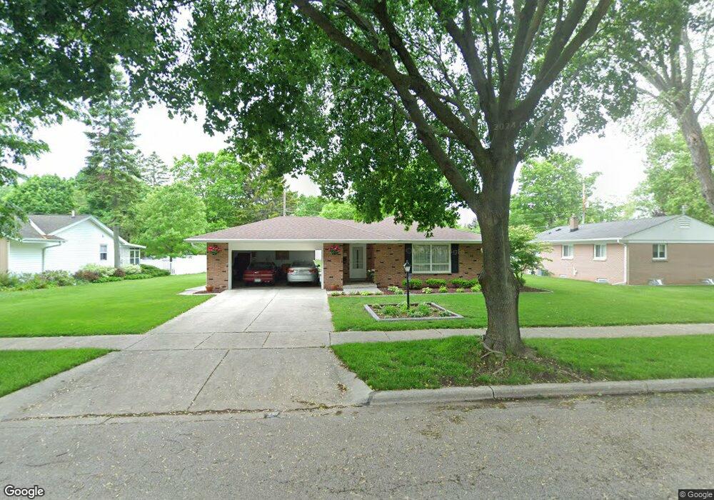
W65N395 Westlawn Ave Cedarburg, WI 53012
Estimated Value: $344,666 - $409,000
--
Bed
--
Bath
--
Sq Ft
10,803
Sq Ft Lot
About This Home
This home is located at W65N395 Westlawn Ave, Cedarburg, WI 53012 and is currently estimated at $373,167. W65N395 Westlawn Ave is a home located in Ozaukee County with nearby schools including Cedarburg High School, Morningstar Montessori Inc, and St Francis Borgia Catholic School.
Ownership History
Date
Name
Owned For
Owner Type
Purchase Details
Closed on
Jan 6, 2023
Sold by
Quaas Loren
Bought by
Quaas Carol
Current Estimated Value
Create a Home Valuation Report for This Property
The Home Valuation Report is an in-depth analysis detailing your home's value as well as a comparison with similar homes in the area
Home Values in the Area
Average Home Value in this Area
Purchase History
| Date | Buyer | Sale Price | Title Company |
|---|---|---|---|
| Quaas Carol | $295,900 | Attorney Timothy S. Schoonenbe |
Source: Public Records
Tax History Compared to Growth
Tax History
| Year | Tax Paid | Tax Assessment Tax Assessment Total Assessment is a certain percentage of the fair market value that is determined by local assessors to be the total taxable value of land and additions on the property. | Land | Improvement |
|---|---|---|---|---|
| 2024 | $4,128 | $285,000 | $78,500 | $206,500 |
| 2023 | $3,802 | $285,000 | $78,500 | $206,500 |
| 2022 | $3,729 | $285,000 | $78,500 | $206,500 |
| 2021 | $3,476 | $202,400 | $71,400 | $131,000 |
| 2020 | $3,704 | $202,400 | $71,400 | $131,000 |
| 2019 | $3,630 | $202,400 | $71,400 | $131,000 |
| 2018 | $3,583 | $202,400 | $71,400 | $131,000 |
| 2017 | $3,549 | $202,400 | $71,400 | $131,000 |
| 2016 | $3,632 | $202,400 | $71,400 | $131,000 |
| 2015 | $3,537 | $202,400 | $71,400 | $131,000 |
| 2014 | $3,592 | $202,400 | $71,400 | $131,000 |
| 2013 | $3,767 | $202,400 | $71,400 | $131,000 |
Source: Public Records
Map
Nearby Homes
- N30W6880 Lincoln Blvd
- N50W6592 Western Rd
- W61N413 Washington Ave
- N28W6642 Alyce St Unit 7
- W72N452 Greystone Dr
- N56W6339 Center St
- N50W7228 Western Rd
- W77N380 Prairie View Rd
- N39W5483 Wilshire Dr
- N69W6507 Bridge Rd
- Lt1 Bridge Rd
- N27W5230 Hamilton Rd
- Lt2 Blk1 Pioneer Rd
- N17W5347 Garfield Ct Unit 3
- W67N786 Evergreen Blvd
- W54N114 Mckinley Ct
- 14201 N Cedarburg Rd
- 320 Douglas Ln
- W52N116 Pioneer Ct Unit B
- N77W7565 Chestnut St
- W65N387 Westlawn Ave
- N39W6631 Jackson St
- W66N394 Kennedy Ave
- W66N390 Kennedy Ave
- N39W6457 Jackson St
- N39W6521 Jackson St
- N39W6609 Jackson St
- N39W6549 Jackson St
- W65N419 Westlawn Ave
- W65N429 Westlawn Ave
- W65N428 Westlawn Ave
- W65N424 Westlawn Ave
- W65N418 Westlawn Ave
- N40W6522 Jackson St
- W65N447 Westlawn Ave
- W65N437 Westlawn Ave
- W65N432 Westlawn Ave
- W65N436 Westlawn Ave
- W65N450 Westlawn Ave
- W65N379 Westlawn Ave