W6758 Curt Black Rd Shawano, WI 54166
Estimated Value: $643,000 - $834,000
3
Beds
3
Baths
5,269
Sq Ft
$140/Sq Ft
Est. Value
About This Home
This home is located at W6758 Curt Black Rd, Shawano, WI 54166 and is currently estimated at $740,121, approximately $140 per square foot. W6758 Curt Black Rd is a home located in Shawano County with nearby schools including Hillcrest Primary School, Brener Elementary School, and Shawano Community Middle School.
Ownership History
Date
Name
Owned For
Owner Type
Purchase Details
Closed on
Feb 5, 2014
Sold by
Timothy A Timothy A
Bought by
Tumanic Timothy A and Timothy A Tumanic Revocable Trust
Current Estimated Value
Purchase Details
Closed on
Sep 14, 2005
Sold by
Tumanic Joy A
Bought by
Tumanic Timothy A
Create a Home Valuation Report for This Property
The Home Valuation Report is an in-depth analysis detailing your home's value as well as a comparison with similar homes in the area
Home Values in the Area
Average Home Value in this Area
Purchase History
| Date | Buyer | Sale Price | Title Company |
|---|---|---|---|
| Tumanic Timothy A | $318,200 | -- | |
| Tumanic Timothy A | $250,000 | -- |
Source: Public Records
Mortgage History
| Date | Status | Borrower | Loan Amount |
|---|---|---|---|
| Closed | Tumanic Timothy A | $0 |
Source: Public Records
Tax History Compared to Growth
Tax History
| Year | Tax Paid | Tax Assessment Tax Assessment Total Assessment is a certain percentage of the fair market value that is determined by local assessors to be the total taxable value of land and additions on the property. | Land | Improvement |
|---|---|---|---|---|
| 2024 | $7,410 | $575,200 | $96,500 | $478,700 |
| 2023 | $7,342 | $575,200 | $96,500 | $478,700 |
| 2022 | $6,530 | $575,200 | $96,500 | $478,700 |
| 2021 | $6,687 | $433,100 | $94,000 | $339,100 |
| 2020 | $6,400 | $433,100 | $94,000 | $339,100 |
| 2019 | $6,352 | $351,700 | $12,600 | $339,100 |
| 2018 | $6,150 | $351,700 | $12,600 | $339,100 |
| 2017 | $5,992 | $351,700 | $12,600 | $339,100 |
| 2016 | $6,051 | $351,700 | $12,600 | $339,100 |
| 2015 | $6,084 | $433,100 | $94,000 | $339,100 |
| 2014 | $482,601 | $359,600 | $90,500 | $269,100 |
| 2013 | $5,087 | $283,700 | $14,600 | $269,100 |
Source: Public Records
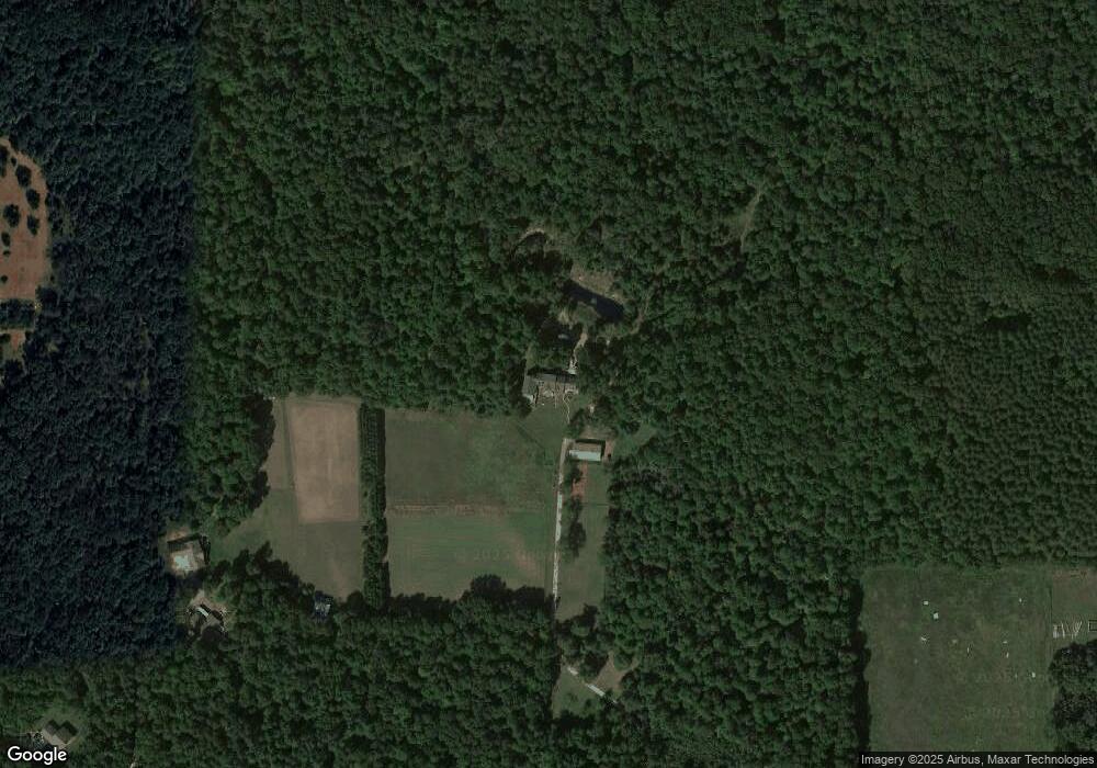
Map
Nearby Homes
- W6835 Curt Black Rd
- W6763 Curt Black Rd
- N6321 Cattau Beach Dr
- N6487 St 47 55 Hwy
- W6007 Lake Dr
- N5938 Wolf River Rd
- W5915 Lake Dr
- W5828 N Oak Park Cir
- 127 Channel Trace
- 189 River Pine Dr
- 0 Willow Wood St Unit 50316593
- 0 Willow Wood St Unit 50316590
- 0 Willow Wood St Unit 50316603
- 0 Willow Wood St Unit 50316605
- 0 Willow Wood St Unit 50316604
- 0 Buss Ct
- 433 Fairview Way
- 531 N Main St
- 519 N Main St
- 182 S Humphrey Cir
- N6346 Fox Ln
- W6778 Curt Black Rd
- N6358 Fox Ln
- W6804 Curt Black Rd
- W6762 Curt Black Rd
- W6848 Curt Black Rd
- N6360 Fox Ln
- W6740 Curt Black Rd
- W6748 Curt Black Rd
- N6544 Fox Ln
- W6836 Curt Black Rd
- N6410 Fox Ln
- W6722 Curt Black Rd
- N6450 Fox Ln
- N6490 Fox Ln
- W6714 Curt Black Rd
- 6714 Curt Black Rd
- W6872 Curt Black Rd
- N6354 Fox Ln
- W6827 Curt Black Rd