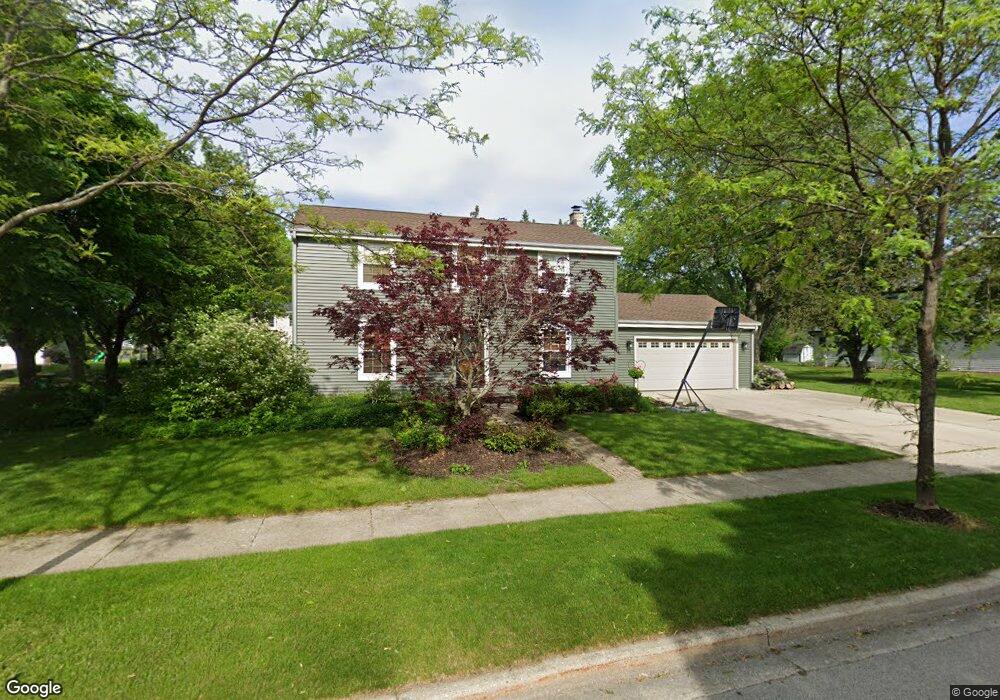
W67N977 Cambridge Ave Cedarburg, WI 53012
Estimated Value: $484,000 - $572,000
--
Bed
--
Bath
--
Sq Ft
0.39
Acres
About This Home
This home is located at W67N977 Cambridge Ave, Cedarburg, WI 53012 and is currently estimated at $515,352. W67N977 Cambridge Ave is a home located in Ozaukee County with nearby schools including Cedarburg High School, First Immanuel Lutheran School, and St Francis Borgia Catholic School.
Ownership History
Date
Name
Owned For
Owner Type
Purchase Details
Closed on
Apr 27, 2007
Sold by
Richardson Farnk J and Richardson Christine A
Bought by
Curtis William A and Curtis Teresa A
Current Estimated Value
Home Financials for this Owner
Home Financials are based on the most recent Mortgage that was taken out on this home.
Original Mortgage
$245,000
Outstanding Balance
$149,107
Interest Rate
6.18%
Mortgage Type
New Conventional
Estimated Equity
$366,245
Create a Home Valuation Report for This Property
The Home Valuation Report is an in-depth analysis detailing your home's value as well as a comparison with similar homes in the area
Home Values in the Area
Average Home Value in this Area
Purchase History
| Date | Buyer | Sale Price | Title Company |
|---|---|---|---|
| Curtis William A | $325,000 | None Available |
Source: Public Records
Mortgage History
| Date | Status | Borrower | Loan Amount |
|---|---|---|---|
| Open | Curtis William A | $245,000 |
Source: Public Records
Tax History Compared to Growth
Tax History
| Year | Tax Paid | Tax Assessment Tax Assessment Total Assessment is a certain percentage of the fair market value that is determined by local assessors to be the total taxable value of land and additions on the property. | Land | Improvement |
|---|---|---|---|---|
| 2024 | $5,357 | $365,000 | $86,000 | $279,000 |
| 2023 | $4,947 | $365,000 | $86,000 | $279,000 |
| 2022 | $4,842 | $365,000 | $86,000 | $279,000 |
| 2021 | $4,799 | $274,200 | $80,600 | $193,600 |
| 2020 | $5,095 | $274,200 | $80,600 | $193,600 |
| 2019 | $4,896 | $268,600 | $80,600 | $188,000 |
| 2018 | $4,825 | $268,600 | $80,600 | $188,000 |
| 2017 | $4,765 | $268,600 | $80,600 | $188,000 |
| 2016 | $4,880 | $268,600 | $80,600 | $188,000 |
| 2015 | $4,748 | $268,600 | $80,600 | $188,000 |
| 2014 | $4,824 | $268,600 | $80,600 | $188,000 |
| 2013 | $5,056 | $268,600 | $80,600 | $188,000 |
Source: Public Records
Map
Nearby Homes
- W68N921 Washington Ave
- N105W6695 Stone Lake Cir Unit 5
- N106W6600 Stone Lake Cir Unit 9
- N106W6590 Stone Lake Cir Unit 10
- N105W6431 Stone Lake Cir Unit 32
- W72N1047 Hampton Ave
- N114W7191 Oakmont Dr
- N104W6262 Susan Ln
- N105W6300 Brenton Ln
- W67N786 Evergreen Blvd
- Lt1 Bridge Rd
- N69W6507 Bridge Rd
- 1319 Creekside Ct
- Lt2 Columbia Rd
- 1339 Cedar Creek Pkwy
- 1311 Dove Ln
- 331 Juniper Ct
- N50W6592 Western Rd
- N50W7228 Western Rd
- 1382 Cedarton Pkwy
- W67N985 Cambridge Ave
- W67N946 Cambridge Ave
- W67N980 Cambridge Ave
- W67N1010 Cambridge Ave
- W67N995 Cambridge Ave
- W67N972 Cambridge Ave
- W68N947 Cambridge Ave
- W68N969 Cambridge Ct
- W68N965 Cambridge Ct
- W68N957 Cambridge Ct
- N96W6735 Aspen St
- N96W6677 Aspen St
- N96W6625 Aspen St
- W67N994 Cambridge Ave
- W68N957 Cambridge Ct
- N98W6657 Lexington St
- N98W6508 Lexington St
- W68N961 Cambridge Ct
- N97W6628 Aspen St
- N97W6602 Aspen St