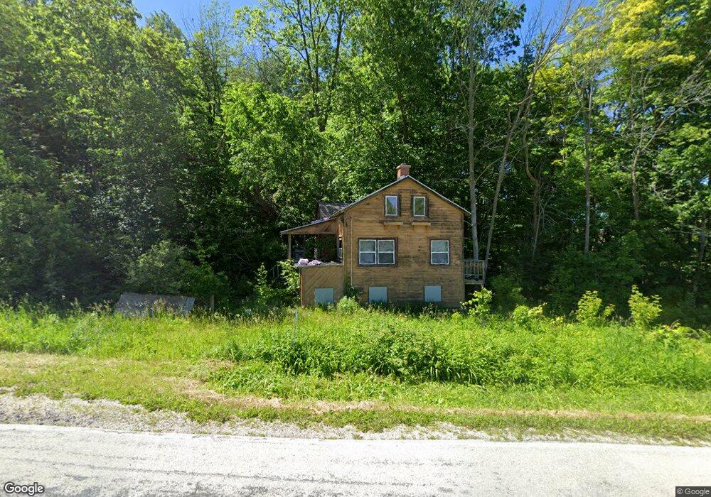
W6902 County Road U Plymouth, WI 53073
Estimated Value: $69,354 - $563,000
--
Bed
--
Bath
--
Sq Ft
1.08
Acres
About This Home
This home is located at W6902 County Road U, Plymouth, WI 53073 and is currently estimated at $394,118. W6902 County Road U is a home located in Sheboygan County with nearby schools including Plymouth High School.
Ownership History
Date
Name
Owned For
Owner Type
Purchase Details
Closed on
Mar 19, 2021
Sold by
Bluebosh Edward J
Bought by
Fears Andrew Robert David and Fears Jennifer L
Current Estimated Value
Home Financials for this Owner
Home Financials are based on the most recent Mortgage that was taken out on this home.
Original Mortgage
$111,600
Outstanding Balance
$106,735
Interest Rate
7.98%
Mortgage Type
New Conventional
Estimated Equity
$287,383
Create a Home Valuation Report for This Property
The Home Valuation Report is an in-depth analysis detailing your home's value as well as a comparison with similar homes in the area
Home Values in the Area
Average Home Value in this Area
Purchase History
| Date | Buyer | Sale Price | Title Company |
|---|---|---|---|
| Fears Andrew Robert David | $124,000 | -- |
Source: Public Records
Mortgage History
| Date | Status | Borrower | Loan Amount |
|---|---|---|---|
| Open | Fears Andrew Robert David | $111,600 |
Source: Public Records
Tax History Compared to Growth
Tax History
| Year | Tax Paid | Tax Assessment Tax Assessment Total Assessment is a certain percentage of the fair market value that is determined by local assessors to be the total taxable value of land and additions on the property. | Land | Improvement |
|---|---|---|---|---|
| 2024 | $403 | $32,900 | $19,500 | $13,400 |
| 2023 | $402 | $32,900 | $19,500 | $13,400 |
| 2022 | $371 | $23,700 | $14,200 | $9,500 |
| 2021 | $873 | $51,700 | $21,300 | $30,400 |
| 2020 | $848 | $51,700 | $21,300 | $30,400 |
| 2019 | $854 | $51,700 | $21,300 | $30,400 |
| 2018 | $817 | $51,700 | $21,300 | $30,400 |
| 2017 | $758 | $51,700 | $21,300 | $30,400 |
| 2016 | $749 | $51,700 | $21,300 | $30,400 |
| 2015 | $787 | $51,700 | $21,300 | $30,400 |
| 2014 | $769 | $51,700 | $21,300 | $30,400 |
Source: Public Records
Map
Nearby Homes
- W7571 County Rd N
- W7435 County Road V
- Lt9 Bobolink Ln
- Lt54 Upper Greystone Dr
- 627 Bobolink Ln
- 543 Clark St
- Lt55 Upper Greystone Dr
- 617 Lake St
- Lt53 Upper Greystone Dr
- Lt61 Upper Greystone Dr
- Elizabeth Plan at Greystone Settlement
- Springfield Plan at Greystone Settlement
- Simen Plan at Greystone Settlement
- Montrose Manor II Plan at Greystone Settlement
- Vintage Plan at Greystone Settlement
- Barbara Plan at Greystone Settlement
- Sarah Plan at Greystone Settlement
- Elizabeth II Plan at Greystone Settlement
- Simen II Plan at Greystone Settlement
- Isabelle II Plan at Greystone Settlement
- N4502 County Rd S
- N4512 County Rd S
- W6865 County Road U
- W6857 County Road U
- N4424 Kettleview Rd
- N4452 Kettle View Rd
- N4529 County Rd S
- W6963 County Road U
- W6994 County Road U
- N4406 Kettle View Rd
- N4409 Kettle View Rd
- W6831 County Road U
- W6973 County Road U
- W6998 County Road U
- N4384 Kettle View Rd
- N4384 Kettleview Rd
- W6796 County Road U
- W6789 County Road U
- N4348 Kettle View Rd
- N4369 Kettle View Rd