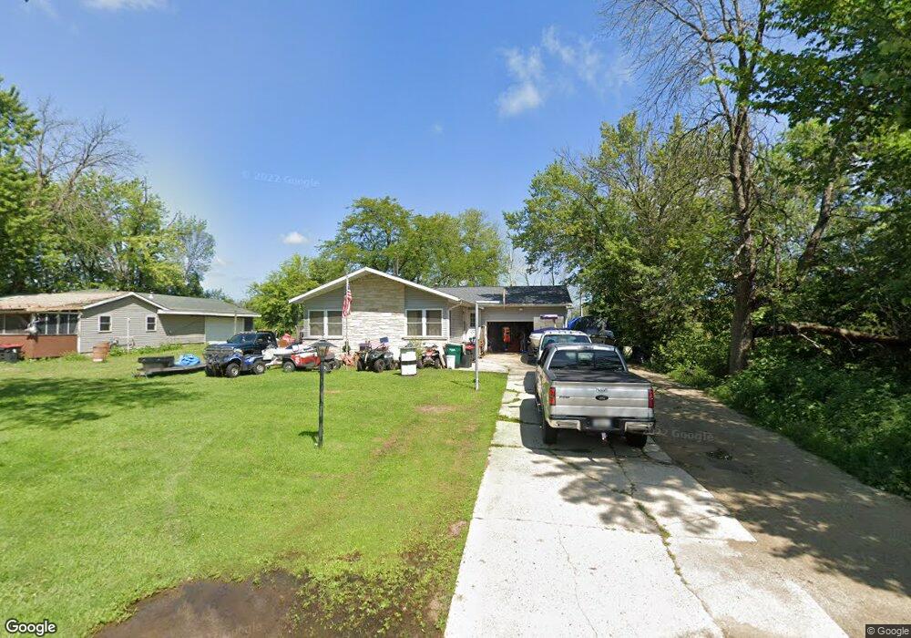
W6928 Blackhawk Island Rd Fort Atkinson, WI 53538
Estimated Value: $238,943 - $366,000
--
Bed
--
Bath
--
Sq Ft
0.41
Acres
About This Home
This home is located at W6928 Blackhawk Island Rd, Fort Atkinson, WI 53538 and is currently estimated at $273,736. W6928 Blackhawk Island Rd is a home located in Jefferson County with nearby schools including Barrie Elementary School, Fort Atkinson Middle School, and Fort Atkinson High School.
Ownership History
Date
Name
Owned For
Owner Type
Purchase Details
Closed on
Jul 1, 2005
Sold by
Gess Todd A and Gess Christine
Bought by
Trost David G
Current Estimated Value
Home Financials for this Owner
Home Financials are based on the most recent Mortgage that was taken out on this home.
Original Mortgage
$104,500
Outstanding Balance
$54,867
Interest Rate
5.75%
Mortgage Type
New Conventional
Estimated Equity
$218,869
Create a Home Valuation Report for This Property
The Home Valuation Report is an in-depth analysis detailing your home's value as well as a comparison with similar homes in the area
Home Values in the Area
Average Home Value in this Area
Purchase History
| Date | Buyer | Sale Price | Title Company |
|---|---|---|---|
| Trost David G | $110,000 | None Available |
Source: Public Records
Mortgage History
| Date | Status | Borrower | Loan Amount |
|---|---|---|---|
| Open | Trost David G | $104,500 |
Source: Public Records
Tax History Compared to Growth
Tax History
| Year | Tax Paid | Tax Assessment Tax Assessment Total Assessment is a certain percentage of the fair market value that is determined by local assessors to be the total taxable value of land and additions on the property. | Land | Improvement |
|---|---|---|---|---|
| 2024 | $2,332 | $122,400 | $33,400 | $89,000 |
| 2023 | $2,354 | $122,400 | $33,400 | $89,000 |
| 2022 | $2,120 | $122,400 | $33,400 | $89,000 |
| 2021 | $1,981 | $122,400 | $33,400 | $89,000 |
| 2020 | $1,806 | $122,400 | $33,400 | $89,000 |
| 2019 | $1,916 | $105,100 | $28,800 | $76,300 |
| 2018 | $1,787 | $105,100 | $28,800 | $76,300 |
| 2017 | $1,791 | $105,100 | $28,800 | $76,300 |
| 2016 | $1,854 | $105,100 | $28,800 | $76,300 |
| 2015 | $1,939 | $105,100 | $28,800 | $76,300 |
| 2014 | $1,892 | $105,100 | $28,800 | $76,300 |
| 2013 | $1,950 | $105,100 | $28,800 | $76,300 |
Source: Public Records
Map
Nearby Homes
- Lot #1 Commerce Pkwy
- Lot #6 Commerce Pkwy
- Lot #10 Commerce Pkwy
- Lot #7 Commerce Pkwy
- Lot #9 Commerce Pkwy
- N1657 Carlin Rd
- N1609 Pleasant Rd
- W6368 Briar Ln
- W6272 Apple Ln
- 206 Hilltop Trail
- 633 Hilltop Trail W
- 1268 Jamesway
- 611 Talcott Ave
- W7742 Lamp Rd
- 1402 Adrian Blvd
- N875 Eagle Ridge Dr
- 1233 Sherman Ave W
- N878 Eagle Ridge Dr
- N874 Eagle Ridge Dr
- N888 Eagle Ridge Dr
- W6934 Blackhawk Island Rd
- W6942 Blackhawk Island Rd
- W6952 Blackhawk Island Rd
- W6960 Blackhawk Island Rd
- W6970 Blackhawk Island Rd
- W6969 Blackhawk Island Rd
- N1603 Groeler Rd
- W6990 Blackhawk Island Rd
- W6998 Blackhawk Island Rd
- 1603 Groeler Rd
- N1627 Groeler Rd
- W7006 Blackhawk Island Rd
- N1594 Groeler Rd
- N1621 Groeler Rd Unit N1620
- W7010 Blackhawk Island Rd
- N1633 Groeler Rd
- N1637 Groeler Rd
- N1657 Groeler Rd
- N1661 Groeler Rd
- W7032 Blackhawk Island Rd