Estimated Value: $156,000 - $294,000
--
Bed
--
Bath
--
Sq Ft
0.88
Acres
About This Home
This home is located at W697 Colby Factory Rd, Colby, WI 54421 and is currently estimated at $235,454. W697 Colby Factory Rd is a home located in Clark County with nearby schools including Colby Elementary School, Colby Middle School, and Colby High School.
Ownership History
Date
Name
Owned For
Owner Type
Purchase Details
Closed on
Apr 27, 2009
Sold by
Hanson Penny
Bought by
Meyer Penny
Current Estimated Value
Create a Home Valuation Report for This Property
The Home Valuation Report is an in-depth analysis detailing your home's value as well as a comparison with similar homes in the area
Home Values in the Area
Average Home Value in this Area
Purchase History
| Date | Buyer | Sale Price | Title Company |
|---|---|---|---|
| Meyer Penny | -- | -- |
Source: Public Records
Tax History Compared to Growth
Tax History
| Year | Tax Paid | Tax Assessment Tax Assessment Total Assessment is a certain percentage of the fair market value that is determined by local assessors to be the total taxable value of land and additions on the property. | Land | Improvement |
|---|---|---|---|---|
| 2024 | $2,740 | $124,900 | $4,600 | $120,300 |
| 2023 | $2,386 | $124,900 | $4,600 | $120,300 |
| 2022 | $2,501 | $124,900 | $4,600 | $120,300 |
| 2021 | $2,272 | $124,900 | $4,600 | $120,300 |
| 2020 | $2,241 | $124,900 | $4,600 | $120,300 |
| 2019 | $2,231 | $124,900 | $4,600 | $120,300 |
| 2018 | $2,174 | $124,900 | $4,600 | $120,300 |
| 2017 | $0 | $0 | $0 | $0 |
| 2016 | $2,180 | $104,500 | $3,800 | $100,700 |
| 2015 | -- | $104,500 | $3,800 | $100,700 |
| 2014 | -- | $104,500 | $3,800 | $100,700 |
| 2013 | -- | $104,500 | $3,800 | $100,700 |
| 2011 | -- | $104,500 | $3,800 | $100,700 |
Source: Public Records
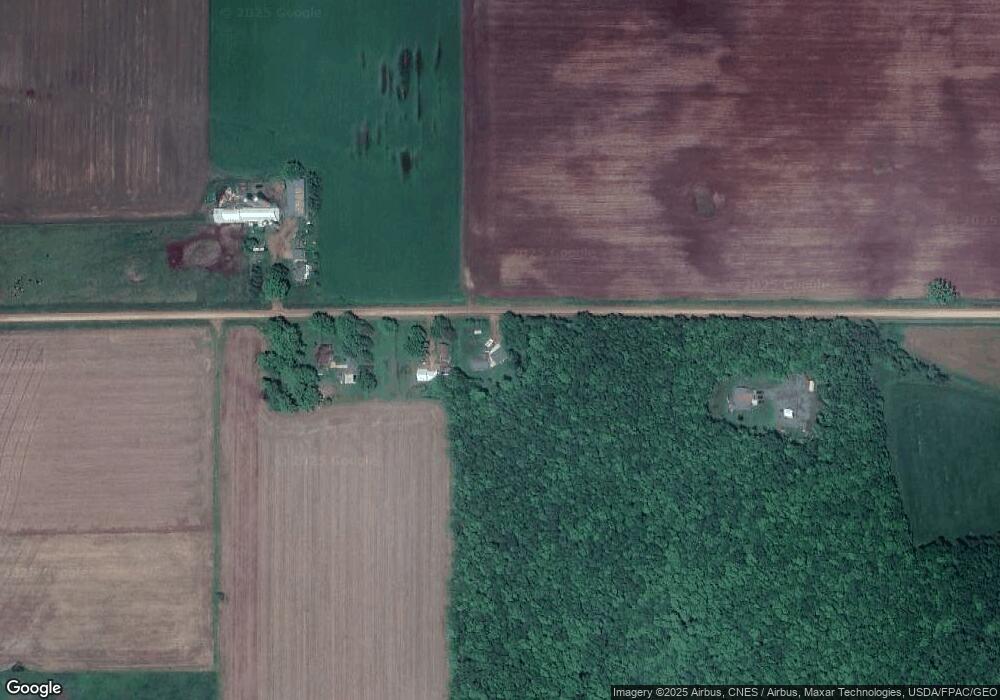
Map
Nearby Homes
- 0000 S Division St
- 204 S 4th St
- 406 N 3rd St
- 602 N 4th St
- 501 E Terrace St
- 303 E Adams St
- 310 W Clark St
- 151 S Madison St
- 285 S Madison St
- 411 S Main St
- +/-2.07 Acres Elderberry Rd
- 106741 Elderberry Rd
- 301 W Butternut St
- 211 N 5th Ave
- 112 N 2nd St
- 205 W Hickory St
- 312 N 3rd St
- 312 Other
- 405 N 3rd St
- 228749 Chestnut Hill Ln
- W703 Colby Factory Rd
- W723 Colby Factory Rd
- W844 Colby Factory Rd
- W860 Colby Factory Rd
- N12875 Hiline Rd
- N12875 Hiline Rd
- N12875 Hiline Rd
- N12875 Hiline Rd
- N12875 Hiline Rd
- N12937 Hiline Ave
- N13028 Badger Ave
- N12713 Hiline Rd
- n 12713 Hiline Rd
- N13086 Badger Ave
- N12708 Badger Ave
- N13087 Hiline Ave
- N12675 Hiline Rd
- N13145 Hiline Rd
- N13122 Hi Line Ave
- 12671 Badger Ave