W7029 Green Channel Rd Plymouth, WI 53073
Estimated Value: $612,000 - $711,000
--
Bed
--
Bath
--
Sq Ft
5.02
Acres
About This Home
This home is located at W7029 Green Channel Rd, Plymouth, WI 53073 and is currently estimated at $671,894. W7029 Green Channel Rd is a home located in Sheboygan County with nearby schools including Plymouth High School.
Ownership History
Date
Name
Owned For
Owner Type
Purchase Details
Closed on
Sep 20, 2021
Sold by
Plate Eric M and Plate Lori A
Bought by
Eric M And Lori A Plate Revocable Living Trus
Current Estimated Value
Home Financials for this Owner
Home Financials are based on the most recent Mortgage that was taken out on this home.
Original Mortgage
$350,800
Interest Rate
2.1%
Mortgage Type
New Conventional
Create a Home Valuation Report for This Property
The Home Valuation Report is an in-depth analysis detailing your home's value as well as a comparison with similar homes in the area
Home Values in the Area
Average Home Value in this Area
Purchase History
| Date | Buyer | Sale Price | Title Company |
|---|---|---|---|
| Eric M And Lori A Plate Revocable Living Trus | -- | Amrock Title | |
| Plate Eric M | -- | Amrock Title |
Source: Public Records
Mortgage History
| Date | Status | Borrower | Loan Amount |
|---|---|---|---|
| Previous Owner | Plate Eric M | $350,800 |
Source: Public Records
Tax History Compared to Growth
Tax History
| Year | Tax Paid | Tax Assessment Tax Assessment Total Assessment is a certain percentage of the fair market value that is determined by local assessors to be the total taxable value of land and additions on the property. | Land | Improvement |
|---|---|---|---|---|
| 2024 | $6,766 | $407,800 | $69,400 | $338,400 |
| 2023 | $5,700 | $407,800 | $69,400 | $338,400 |
| 2022 | $5,999 | $407,800 | $69,400 | $338,400 |
| 2021 | $5,959 | $407,800 | $69,400 | $338,400 |
| 2020 | $6,157 | $407,800 | $69,400 | $338,400 |
| 2019 | $6,165 | $407,800 | $69,400 | $338,400 |
| 2018 | $6,008 | $407,800 | $69,400 | $338,400 |
| 2017 | $5,725 | $407,800 | $69,400 | $338,400 |
| 2016 | $5,764 | $407,800 | $69,400 | $338,400 |
| 2015 | $5,818 | $407,800 | $69,400 | $338,400 |
| 2014 | $5,444 | $371,300 | $69,400 | $301,900 |
Source: Public Records
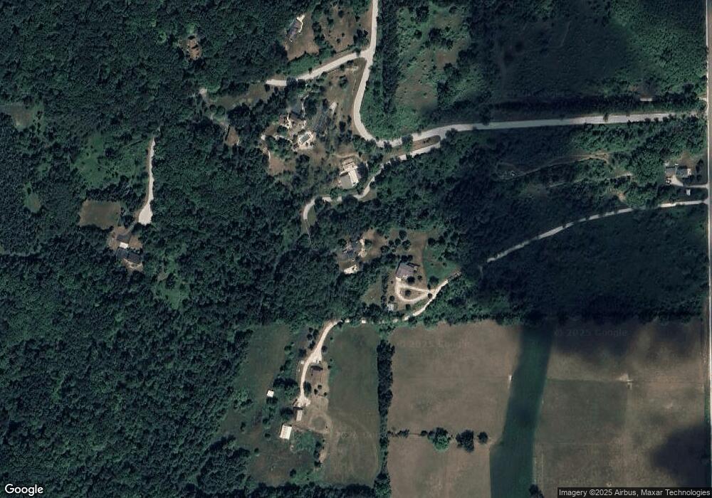
Map
Nearby Homes
- Lt4 Linda Ln
- Lt54 Upper Greystone Dr
- Lt55 Upper Greystone Dr
- Lt53 Upper Greystone Dr
- Lt61 Upper Greystone Dr
- Lt64 Upper Greystone Dr
- Lt63 Upper Greystone Dr
- Lt65 Upper Greystone Dr
- 928 S Hills Dr
- Elizabeth Plan at Greystone Settlement
- Springfield Plan at Greystone Settlement
- Simen Plan at Greystone Settlement
- Montrose Manor II Plan at Greystone Settlement
- Vintage Plan at Greystone Settlement
- Barbara Plan at Greystone Settlement
- Sarah Plan at Greystone Settlement
- Elizabeth II Plan at Greystone Settlement
- Simen II Plan at Greystone Settlement
- Isabelle II Plan at Greystone Settlement
- Nottingham Plan at Greystone Settlement
- W7037 Emerald Ridge Rd
- W7071 Emerald Ridge Rd
- W7041 Wildberry Hill Rd
- W7062 Emerald Ridge Rd
- W7112 Emerald Ridge Rd
- N5338 County Rd S
- W7061 Wildberry Hill Rd
- N5366 County Rd S
- N5342 County Rd S
- N5334 County Rd S
- Lt0 County Rd S
- 3912 County Rd S
- N5357 County Rd S
- W7143 Wildberry Hill Rd
- W7088 Wildberry Hill Rd
- W7134 Wildberry Hill Rd
- W7153 Wildberry Hill Rd
- N5309 County Rd S
- W7136 Wildberry Hill Rd
- N5235 County Rd S