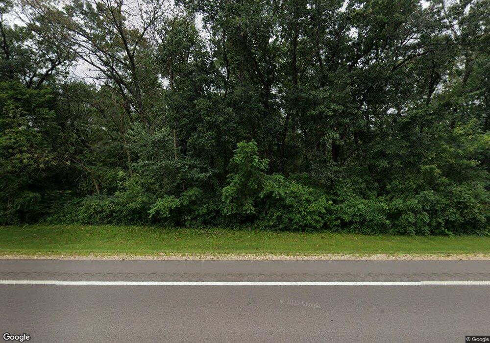
W7039 Us Highway 10 Arkansaw, WI 54721
Estimated Value: $444,000 - $572,844
3
Beds
3
Baths
2,364
Sq Ft
$220/Sq Ft
Est. Value
About This Home
This home is located at W7039 Us Highway 10, Arkansaw, WI 54721 and is currently estimated at $519,711, approximately $219 per square foot. W7039 Us Highway 10 is a home located in Pepin County with nearby schools including Caddie Woodlawn Elementary School, Durand Middle/High School, and Assumption Catholic School.
Ownership History
Date
Name
Owned For
Owner Type
Purchase Details
Closed on
Oct 9, 2023
Sold by
Ryan Richard M
Bought by
Sirianni Brent T
Current Estimated Value
Purchase Details
Closed on
Dec 10, 2009
Sold by
Baldini Alice B
Bought by
Ryan Richard R and Ryan Gail M
Home Financials for this Owner
Home Financials are based on the most recent Mortgage that was taken out on this home.
Original Mortgage
$180,000
Interest Rate
4.96%
Create a Home Valuation Report for This Property
The Home Valuation Report is an in-depth analysis detailing your home's value as well as a comparison with similar homes in the area
Home Values in the Area
Average Home Value in this Area
Purchase History
| Date | Buyer | Sale Price | Title Company |
|---|---|---|---|
| Sirianni Brent T | $505,000 | Western Wisconsin Title Servic | |
| Ryan Richard R | -- | -- |
Source: Public Records
Mortgage History
| Date | Status | Borrower | Loan Amount |
|---|---|---|---|
| Previous Owner | Ryan Richard R | $180,000 |
Source: Public Records
Tax History Compared to Growth
Tax History
| Year | Tax Paid | Tax Assessment Tax Assessment Total Assessment is a certain percentage of the fair market value that is determined by local assessors to be the total taxable value of land and additions on the property. | Land | Improvement |
|---|---|---|---|---|
| 2024 | $5,588 | $275,100 | $66,700 | $208,400 |
| 2023 | $5,392 | $275,100 | $66,700 | $208,400 |
| 2022 | $4,225 | $275,100 | $66,700 | $208,400 |
| 2021 | $3,743 | $275,100 | $66,700 | $208,400 |
| 2020 | $4,140 | $229,400 | $45,800 | $183,600 |
| 2019 | $3,873 | $229,400 | $45,800 | $183,600 |
| 2018 | $3,676 | $229,400 | $45,800 | $183,600 |
| 2017 | $4,730 | $229,400 | $45,800 | $183,600 |
| 2016 | $3,968 | $229,400 | $45,800 | $183,600 |
| 2015 | $3,983 | $229,400 | $45,800 | $183,600 |
| 2014 | $3,983 | $229,400 | $45,800 | $183,600 |
| 2013 | $3,983 | $229,400 | $45,800 | $183,600 |
Source: Public Records
Map
Nearby Homes
- N6217 S Kirk Rd
- 711 W Madison St
- 407 1st Ave
- 114 W Prospect St
- 318 E Main St Unit 10
- 406 1st Ave
- 406 First St
- 731 Robert Rd
- 616 E Prospect St
- 1109 E Laneville Ave Unit C
- 222 Country Ln
- 825 E Washington St
- 412 Lee St Unit A
- 1208 E Laneville Ave
- 1011 11th Ave E
- 1211 Jerry Ave
- 1222 Durand St
- 6118 Waubeek Mound Rd
- W8539 County Road z
- Lot 35 N4XX 297th St
- W7039 Us Highway 10
- W7039 U S 10
- W7015 Us Highway 10
- W7021 Us Highway 10
- W7067 Us Highway 10
- W7077 Us Highway 10
- W7052 Us Highway 10
- W7093 Us Highway 10
- W6991 Us Highway 10
- N6237 Schaub Ln
- W7012 Us Highway 10
- 0 Schaub Ln
- N6229 Schaub Ln
- W6975 U S 10
- W7027 Terry Ct
- W7092 Us Highway 10
- w 7092 Us Highway 10
- W6975 Us Highway 10
- W7092 U S 10
- W7019 Terry Ct
