W7140 Yunto Ln Waupun, WI 53963
Estimated Value: $280,000 - $369,000
--
Bed
--
Bath
--
Sq Ft
5.79
Acres
About This Home
This home is located at W7140 Yunto Ln, Waupun, WI 53963 and is currently estimated at $320,270. W7140 Yunto Ln is a home located in Dodge County with nearby schools including Meadow View Primary School, Rock River Intermediate School, and Waupun Area Junior High School.
Ownership History
Date
Name
Owned For
Owner Type
Purchase Details
Closed on
Apr 28, 2025
Sold by
Lauren R Lemke Revocable Living Trust
Bought by
White Eric W and White Abigail Celeste
Current Estimated Value
Home Financials for this Owner
Home Financials are based on the most recent Mortgage that was taken out on this home.
Original Mortgage
$261,250
Outstanding Balance
$259,860
Interest Rate
6.67%
Mortgage Type
New Conventional
Estimated Equity
$60,410
Purchase Details
Closed on
Jan 22, 2018
Sold by
Lemke Lauren R
Bought by
Lemke Trust
Purchase Details
Closed on
Apr 4, 2017
Sold by
Lemke Joye Lavonne
Bought by
Lemke Lauren R
Create a Home Valuation Report for This Property
The Home Valuation Report is an in-depth analysis detailing your home's value as well as a comparison with similar homes in the area
Home Values in the Area
Average Home Value in this Area
Purchase History
| Date | Buyer | Sale Price | Title Company |
|---|---|---|---|
| White Eric W | $275,000 | Gowey Abstract & Title | |
| Lemke Trust | -- | -- | |
| Lemke Lauren R | $92,200 | -- |
Source: Public Records
Mortgage History
| Date | Status | Borrower | Loan Amount |
|---|---|---|---|
| Open | White Eric W | $261,250 |
Source: Public Records
Tax History Compared to Growth
Tax History
| Year | Tax Paid | Tax Assessment Tax Assessment Total Assessment is a certain percentage of the fair market value that is determined by local assessors to be the total taxable value of land and additions on the property. | Land | Improvement |
|---|---|---|---|---|
| 2024 | $2,902 | $189,800 | $37,500 | $152,300 |
| 2023 | $2,583 | $189,800 | $37,500 | $152,300 |
| 2022 | $2,501 | $189,800 | $37,500 | $152,300 |
| 2021 | $2,413 | $189,800 | $37,500 | $152,300 |
| 2020 | $2,653 | $189,800 | $37,500 | $152,300 |
| 2019 | $2,565 | $189,800 | $37,500 | $152,300 |
| 2018 | $2,771 | $184,400 | $37,500 | $146,900 |
| 2017 | $2,791 | $184,400 | $37,500 | $146,900 |
| 2016 | $2,787 | $184,400 | $37,500 | $146,900 |
| 2015 | $2,793 | $184,400 | $37,500 | $146,900 |
| 2014 | $3,009 | $184,400 | $37,500 | $146,900 |
Source: Public Records
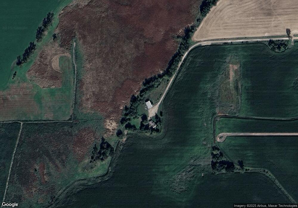
Map
Nearby Homes
- 17.92 Ac Pattee Dr
- 614 Carrington St
- 516 Doty St
- 517 W Jefferson St
- 516 E Lincoln St
- 327 Carrington St
- 806 Rock River Ave
- 25 W Franklin St
- 315 E Main St
- 736 Fern St
- 295 Harmsen Ave
- 134 N Watertown St
- 608 Beekman St
- 18 Pluim Dr Unit 16
- 18 Pluim Dr Unit 13
- 231 Woodland Dr
- 380 Fond du Lac St
- 395 Fond du Lac St
- W6180 Main St
- N8519 Front St
- W7299 Cortes Rd
- N10961 County Road M
- W7295 Cortes Rd
- W7329 Cortes Rd
- N10894 County Road M
- N11175 County Road M
- N11181 County Road M
- N11197 Hwy M
- N11197 County Road M
- N10754 Us Highway 151
- W7171 Cortes Rd
- N10574 Hwy 151
- W7235 Cortes Rd
- W7493 Cortes Rd
- W7194 Cortes Rd
- N11027 Cottonwood Rd
- N11164 Cottonwood Rd