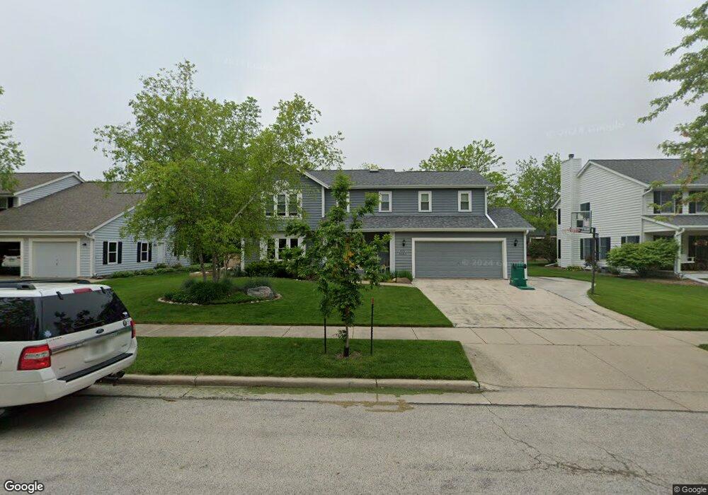
W71N363 Foxpointe Ave Cedarburg, WI 53012
Estimated Value: $592,000 - $666,000
--
Bed
--
Bath
--
Sq Ft
10,106
Sq Ft Lot
About This Home
This home is located at W71N363 Foxpointe Ave, Cedarburg, WI 53012 and is currently estimated at $630,653. W71N363 Foxpointe Ave is a home located in Ozaukee County with nearby schools including Cedarburg High School, Morningstar Montessori Inc, and First Immanuel Lutheran School.
Ownership History
Date
Name
Owned For
Owner Type
Purchase Details
Closed on
Apr 30, 2007
Sold by
Cowle Francis A and Cowle Charnelle
Bought by
Ritchie Dennis and Ritchie Laurie
Current Estimated Value
Home Financials for this Owner
Home Financials are based on the most recent Mortgage that was taken out on this home.
Original Mortgage
$264,000
Outstanding Balance
$160,846
Interest Rate
6.2%
Mortgage Type
New Conventional
Estimated Equity
$469,807
Create a Home Valuation Report for This Property
The Home Valuation Report is an in-depth analysis detailing your home's value as well as a comparison with similar homes in the area
Home Values in the Area
Average Home Value in this Area
Purchase History
| Date | Buyer | Sale Price | Title Company |
|---|---|---|---|
| Ritchie Dennis | $330,000 | None Available |
Source: Public Records
Mortgage History
| Date | Status | Borrower | Loan Amount |
|---|---|---|---|
| Open | Ritchie Dennis | $264,000 |
Source: Public Records
Tax History Compared to Growth
Tax History
| Year | Tax Paid | Tax Assessment Tax Assessment Total Assessment is a certain percentage of the fair market value that is determined by local assessors to be the total taxable value of land and additions on the property. | Land | Improvement |
|---|---|---|---|---|
| 2024 | $7,110 | $479,100 | $88,200 | $390,900 |
| 2023 | $6,579 | $479,100 | $88,200 | $390,900 |
| 2022 | $6,430 | $479,100 | $88,200 | $390,900 |
| 2021 | $6,236 | $352,200 | $80,200 | $272,000 |
| 2020 | $6,605 | $352,200 | $80,200 | $272,000 |
| 2019 | $6,495 | $352,200 | $80,200 | $272,000 |
| 2018 | $6,394 | $352,200 | $80,200 | $272,000 |
| 2017 | $6,301 | $352,200 | $80,200 | $272,000 |
| 2016 | $6,456 | $352,200 | $80,200 | $272,000 |
| 2015 | $6,278 | $352,200 | $80,200 | $272,000 |
| 2014 | $6,379 | $352,200 | $80,200 | $272,000 |
| 2013 | $6,684 | $352,200 | $80,200 | $272,000 |
Source: Public Records
Map
Nearby Homes
- N30W6880 Lincoln Blvd
- N28W6642 Alyce St Unit 7
- N50W7228 Western Rd
- N18W6845 Partridge Ct Unit 1
- N50W6592 Western Rd
- Lt2 Blk1 Pioneer Rd
- 320 Douglas Ln
- W61N413 Washington Ave
- N56W6339 Center St
- W77N380 Prairie View Rd
- Lt1 Bridge Rd
- N69W6507 Bridge Rd
- Lt2 Columbia Rd
- N39W5483 Wilshire Dr
- W67N786 Evergreen Blvd
- N17W5347 Garfield Ct Unit 3
- N20W5341 Pierce Ct
- N27W5230 Hamilton Rd
- W52N175 Fillmore Ave
- W52N129 Pioneer Ct Unit A
- N36W7393 Buchanan St
- N36W7363 Buchanan St
- N34W7298 Buchanan St
- W72N343 Foxpointe Ave
- W72N351 Foxpointe Ave
- W72N355 Foxpointe Ave
- W72N359 Foxpointe Ave
- W71N367 Foxpointe Ave
- W71N371 Foxpointe Ave
- W71N375 Foxpointe Ave
- W71N379 Foxpointe Ave
- W70N376 Foxpointe Ave
- W71N372 Foxpointe Ave
- W71N368 Foxpointe Ave
- W71N360 Foxpointe Ave
- W72N352 Foxpointe Ave
- W72N344 Foxpointe Ave
- W70N376 Foxpointe Ave
- W71N360 Foxpointe Ave
- N33W7287 Buchanan St