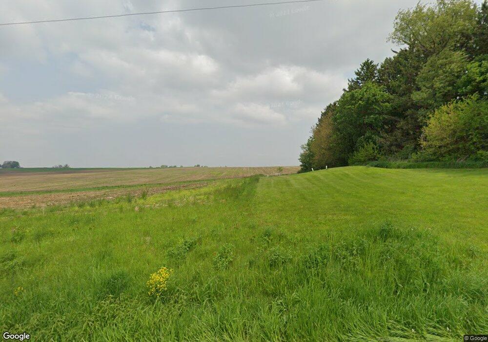
W7518 Melvin Rd Browntown, WI 53522
Estimated Value: $167,000
4
Beds
1
Bath
2,300
Sq Ft
$73/Sq Ft
Est. Value
About This Home
This home is located at W7518 Melvin Rd, Browntown, WI 53522 and is currently priced at $167,000, approximately $72 per square foot. W7518 Melvin Rd is a home located in Green County.
Ownership History
Date
Name
Owned For
Owner Type
Purchase Details
Closed on
Oct 4, 2021
Sold by
Soddy Coleen J and Soddy Coleen
Bought by
Blaser Ryan Michael and Blaser Jennifer A
Current Estimated Value
Home Financials for this Owner
Home Financials are based on the most recent Mortgage that was taken out on this home.
Original Mortgage
$185,000
Outstanding Balance
$142,162
Interest Rate
2.1%
Mortgage Type
New Conventional
Purchase Details
Closed on
Apr 8, 2013
Sold by
Soddy Delbert F and Soddy Colleen J
Bought by
Blaser Jennifer A and Blaser Ryan M
Create a Home Valuation Report for This Property
The Home Valuation Report is an in-depth analysis detailing your home's value as well as a comparison with similar homes in the area
Home Values in the Area
Average Home Value in this Area
Purchase History
| Date | Buyer | Sale Price | Title Company |
|---|---|---|---|
| Blaser Ryan Michael | -- | Security First Title Company | |
| Blaser Jennifer A | $70,000 | None Available |
Source: Public Records
Mortgage History
| Date | Status | Borrower | Loan Amount |
|---|---|---|---|
| Open | Blaser Ryan Michael | $185,000 |
Source: Public Records
Tax History Compared to Growth
Tax History
| Year | Tax Paid | Tax Assessment Tax Assessment Total Assessment is a certain percentage of the fair market value that is determined by local assessors to be the total taxable value of land and additions on the property. | Land | Improvement |
|---|---|---|---|---|
| 2024 | $2,120 | $109,600 | $20,300 | $89,300 |
| 2023 | $2,128 | $109,600 | $20,300 | $89,300 |
| 2022 | $2,005 | $109,600 | $20,300 | $89,300 |
| 2021 | $1,858 | $109,600 | $20,300 | $89,300 |
| 2020 | $1,983 | $109,600 | $20,300 | $89,300 |
| 2019 | $1,961 | $109,600 | $20,300 | $89,300 |
| 2018 | $1,949 | $109,600 | $20,300 | $89,300 |
| 2017 | $2,028 | $109,600 | $20,300 | $89,300 |
| 2016 | $2,100 | $109,600 | $20,300 | $89,300 |
| 2014 | $2,035 | $109,600 | $20,300 | $89,300 |
Source: Public Records
Map
Nearby Homes
- W8192 Pilz Rd
- N2202 Cadiz Springs Rd
- W7880 Wisconsin 11
- TBD Miller Rd
- N2451 Ullom Rd Unit 20
- 360 S Church St
- 000 County Highway M
- W6430 Patterson Rd
- W6579 Karric Ln
- 113 S Liberty St
- Lot 3 Rd
- Lot 1 Alphorn Rd
- 206 27th St
- 208 27th St
- 507 W 8th St
- 1.86 ACRES W 8th St
- Lot 35 Briar Ln
- 2.51 ACRES 4th Ave
- Lot 1 W 6th St
- Lot 33 Briar Ln
- W7518 Melvin Rd
- W7506 Melvin Rd
- n 1808 Ullom Rd
- N1808 Ullom Rd
- N1808 Ullom Rd
- N1896 Ullom Rd
- N1871 Ullom Rd
- N1753 Steiner Rd
- N1933 Ullom Rd
- N1839 Steiner Rd
- N1621 Steiner Rd
- N1846 Steiner Rd
- N1505 Steiner Rd
- N1999 Ullom Rd
- W7569 Franklin Rd
- N1418 Steiner Rd
- N2028 Steiner Rd
- N2089 Ullom Rd
- N1558 Steiner Rd
- N1558 Steiner Rd
